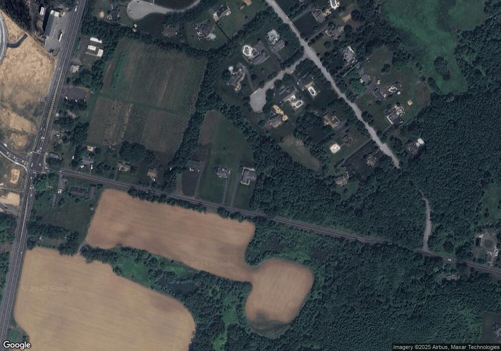
450 Mansfield Rd E Columbus, NJ 08022
Estimated Value: $848,219 - $1,005,000
4
Beds
3
Baths
3,200
Sq Ft
$290/Sq Ft
Est. Value
About This Home
This home is located at 450 Mansfield Rd E, Columbus, NJ 08022 and is currently estimated at $929,055, approximately $290 per square foot. 450 Mansfield Rd E is a home located in Burlington County with nearby schools including John Hydock Elementary School, Mansfield Township Elementary School, and Northern Burlington County Regional Middle School.
Ownership History
Date
Name
Owned For
Owner Type
Purchase Details
Closed on
Dec 19, 2018
Sold by
Spirit Of The Spung Inc
Bought by
Higgins Patricia and Higgins Robert
Current Estimated Value
Home Financials for this Owner
Home Financials are based on the most recent Mortgage that was taken out on this home.
Original Mortgage
$494,910
Outstanding Balance
$448,317
Interest Rate
5.95%
Mortgage Type
Construction
Estimated Equity
$480,738
Purchase Details
Closed on
Sep 13, 2018
Sold by
Gilardi Russell J
Bought by
Spirit Of The Spung and Great Northeastern Enterprises
Purchase Details
Closed on
Sep 29, 2004
Sold by
Gilardi Victor R and Gilardi Jean R
Bought by
Gilardi Victor R and Gilardi Jean R
Create a Home Valuation Report for This Property
The Home Valuation Report is an in-depth analysis detailing your home's value as well as a comparison with similar homes in the area
Home Values in the Area
Average Home Value in this Area
Purchase History
| Date | Buyer | Sale Price | Title Company |
|---|---|---|---|
| Higgins Patricia | $549,900 | Emerald Title Agency | |
| Spirit Of The Spung | $70,000 | Turnkey Title Co | |
| Gilardi Victor R | -- | -- |
Source: Public Records
Mortgage History
| Date | Status | Borrower | Loan Amount |
|---|---|---|---|
| Open | Higgins Patricia | $494,910 |
Source: Public Records
Tax History Compared to Growth
Tax History
| Year | Tax Paid | Tax Assessment Tax Assessment Total Assessment is a certain percentage of the fair market value that is determined by local assessors to be the total taxable value of land and additions on the property. | Land | Improvement |
|---|---|---|---|---|
| 2025 | $14,917 | $459,700 | $105,000 | $354,700 |
| 2024 | $15,023 | $459,700 | $105,000 | $354,700 |
Source: Public Records
Map
Nearby Homes
- 17 Belmont Cir
- 478 Island Rd
- 707 Route 68
- 350 New York Ave
- 24381 W Main St
- 175 Atlantic Ave
- 25 Ellington Dr
- 3 Jasper Dr
- 43 Barbary Ln
- 145 White Pine Rd
- 5 Pheasant Ct
- 220-240 White Pine Rd
- 2334 Old York Rd
- 199 Bordentown Georgetown Rd
- 0 Bordentown Georgetown Rd
- 183 Bordentown Georgetown Rd
- 27058 Mount Pleasant Rd
- 0 Monika Way Unit NJBL2096290
- 213 Homestead Cir
- 43 Meadow Run Rd
