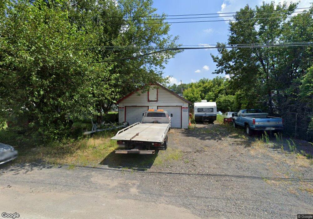
450 Oakdale Ave Hatboro, PA 19040
Estimated Value: $301,000 - $366,386
3
Beds
1
Bath
1,168
Sq Ft
$284/Sq Ft
Est. Value
About This Home
This home is located at 450 Oakdale Ave, Hatboro, PA 19040 and is currently estimated at $331,347, approximately $283 per square foot. 450 Oakdale Ave is a home located in Montgomery County with nearby schools including Crooked Billet El School, Keith Valley Middle School, and Hatboro-Horsham Senior High School.
Ownership History
Date
Name
Owned For
Owner Type
Purchase Details
Closed on
Jun 27, 2022
Sold by
Alvin Armstrong
Bought by
Armstrong Armstrong Llc
Current Estimated Value
Purchase Details
Closed on
Dec 11, 2019
Sold by
Armstrong Alvin and Armstrong David Armstrong
Bought by
Armstrong & Armstrong Llc
Purchase Details
Closed on
Nov 18, 2003
Sold by
Armstrong Alvin and Armstrong David
Bought by
Armstrong Alvin and Armstrong David
Create a Home Valuation Report for This Property
The Home Valuation Report is an in-depth analysis detailing your home's value as well as a comparison with similar homes in the area
Home Values in the Area
Average Home Value in this Area
Purchase History
| Date | Buyer | Sale Price | Title Company |
|---|---|---|---|
| Armstrong Armstrong Llc | $21,629 | None Listed On Document | |
| Armstrong & Armstrong Llc | -- | None Available | |
| Armstrong Alvin | -- | -- |
Source: Public Records
Tax History Compared to Growth
Tax History
| Year | Tax Paid | Tax Assessment Tax Assessment Total Assessment is a certain percentage of the fair market value that is determined by local assessors to be the total taxable value of land and additions on the property. | Land | Improvement |
|---|---|---|---|---|
| 2025 | $5,331 | $110,030 | $62,270 | $47,760 |
| 2024 | $5,331 | $110,030 | $62,270 | $47,760 |
| 2023 | $5,075 | $110,030 | $62,270 | $47,760 |
| 2022 | $4,941 | $110,030 | $62,270 | $47,760 |
| 2021 | $4,823 | $110,030 | $62,270 | $47,760 |
| 2020 | $4,682 | $110,030 | $62,270 | $47,760 |
| 2019 | $4,609 | $110,030 | $62,270 | $47,760 |
| 2018 | $4,610 | $110,030 | $62,270 | $47,760 |
| 2017 | $4,315 | $110,030 | $62,270 | $47,760 |
| 2016 | $4,272 | $110,030 | $62,270 | $47,760 |
| 2015 | $4,114 | $110,030 | $62,270 | $47,760 |
| 2014 | $4,114 | $110,030 | $62,270 | $47,760 |
Source: Public Records
Map
Nearby Homes
- 102 Earl Ln
- 416 Preston Ln
- 210 E Montgomery Ave
- 513 Corinthian Ave
- 14 Norwyn Rd
- 2900 E County Line Rd
- 148 Byberry Rd
- 194 Ann Ln
- 165 W Moreland Ave
- 219 W Moreland Ave
- 425 Grape St
- 205 Willard Rd
- 2710 E County Line Rd
- 136 Washington Dr
- 45 Flamingo Rd
- 322 W Moreland Ave
- 220 Nemoral St
- 599 Panther Rd
- 36 Jessop Ln
- 464 Rowan St
- 452 Oakdale Ave
- 454 Oakdale Ave
- 456 Oakdale Ave
- 449 Jacksonville Rd
- 451 Jacksonville Rd
- 453 Jacksonville Rd
- 455 Jacksonville Rd
- 457 Jacksonville Rd
- 459 Jacksonville Rd
- 461 Jacksonville Rd
- 465 Jacksonville Rd
- 435 Jacksonville Rd
- 466 Oakdale Ave
- 449 Oakdale Ave
- 469 Jacksonville Rd
- 469 Jacksonville Rd Unit C
- 469 Jacksonville Rd Unit B
- 469 Jacksonville Rd Unit A
- 476 Jacksonville Rd
- 478 Jacksonville Rd