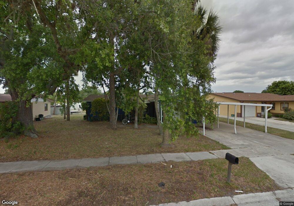
450 Oxford Ave Merritt Island, FL 32953
Estimated Value: $222,423 - $314,000
3
Beds
1
Bath
1,173
Sq Ft
$220/Sq Ft
Est. Value
About This Home
This home is located at 450 Oxford Ave, Merritt Island, FL 32953 and is currently estimated at $258,106, approximately $220 per square foot. 450 Oxford Ave is a home located in Brevard County with nearby schools including Mila Elementary School, Thomas Jefferson Middle School, and Merritt Island High School.
Ownership History
Date
Name
Owned For
Owner Type
Purchase Details
Closed on
Oct 25, 2019
Sold by
Bigler David
Bought by
Meyers Judith Ann
Current Estimated Value
Purchase Details
Closed on
Oct 27, 2011
Sold by
County Of Brevard
Bought by
Bigler David and Bigler David Scott
Purchase Details
Closed on
Sep 2, 2008
Sold by
Foster Juanita
Bought by
Foster Alton
Purchase Details
Closed on
Oct 25, 2001
Sold by
Randolph Freddie L
Bought by
Foster Juanita
Purchase Details
Closed on
Oct 10, 2000
Sold by
Arnold Martha L
Bought by
Randolph Freddie L
Create a Home Valuation Report for This Property
The Home Valuation Report is an in-depth analysis detailing your home's value as well as a comparison with similar homes in the area
Home Values in the Area
Average Home Value in this Area
Purchase History
| Date | Buyer | Sale Price | Title Company |
|---|---|---|---|
| Meyers Judith Ann | -- | None Available | |
| Bigler David | $9,300 | None Available | |
| Foster Alton | -- | None Available | |
| Foster Juanita | -- | -- | |
| Randolph Freddie L | $42,000 | -- |
Source: Public Records
Tax History Compared to Growth
Tax History
| Year | Tax Paid | Tax Assessment Tax Assessment Total Assessment is a certain percentage of the fair market value that is determined by local assessors to be the total taxable value of land and additions on the property. | Land | Improvement |
|---|---|---|---|---|
| 2025 | $2,262 | $153,680 | -- | -- |
| 2024 | $2,283 | $163,940 | -- | -- |
| 2023 | $2,283 | $172,430 | $0 | $0 |
| 2022 | $1,953 | $145,490 | $0 | $0 |
| 2021 | $1,678 | $89,080 | $33,000 | $56,080 |
| 2020 | $1,653 | $88,630 | $31,000 | $57,630 |
| 2019 | $1,450 | $93,420 | $31,000 | $62,420 |
| 2018 | $1,342 | $79,080 | $14,000 | $65,080 |
| 2017 | $1,187 | $57,280 | $10,000 | $47,280 |
| 2016 | $1,130 | $50,020 | $9,000 | $41,020 |
| 2015 | $1,077 | $41,640 | $9,000 | $32,640 |
| 2014 | $1,031 | $37,860 | $9,000 | $28,860 |
Source: Public Records
Map
Nearby Homes
- 1130 Ogden St
- 1170 King St
- 505 Sawyer Ave
- 280 Grove Blvd
- 287 Marion Place
- 140 Queensland Ave
- 1405 N Tropical Trail
- 290 Eyre Ave
- 301 Sherwood Place
- 310 Sherwood Place
- 235 Eyre Ave
- 250 Perth Ave
- 545 Easy St
- 265 Coldstream Ave
- 255 Viscount Ave
- 360 Fisher Ln
- 610 Buttonwood Dr
- 1465 Saturn St
- 1601 Jolson Ct
- 1490 Saturn St