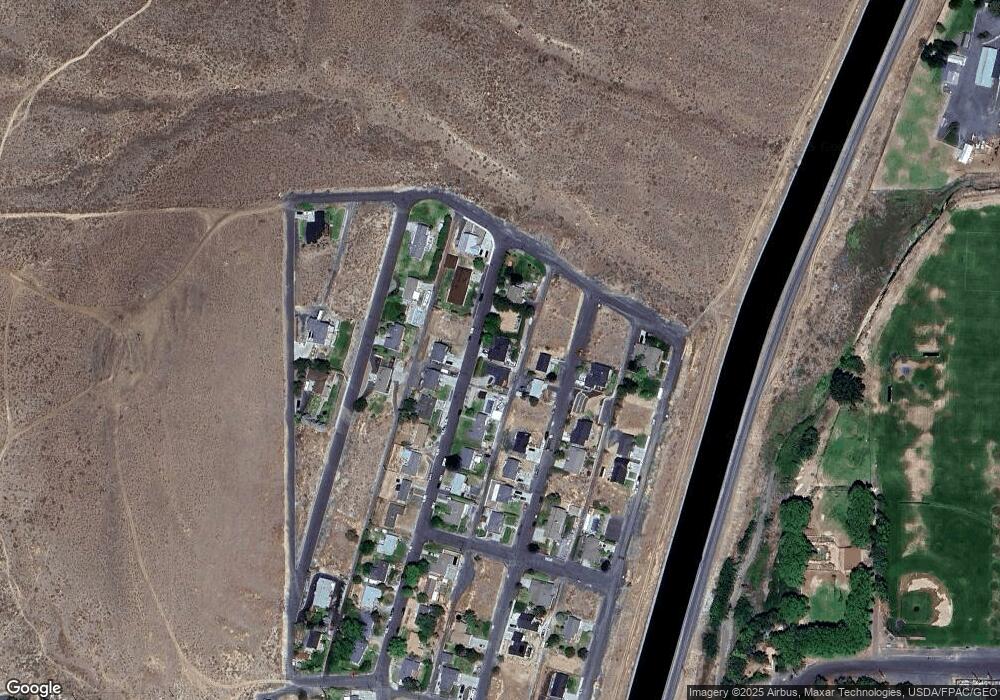
450 Patrick Rd Ephrata, WA 98823
Estimated Value: $408,162 - $496,000
4
Beds
3
Baths
1,459
Sq Ft
$308/Sq Ft
Est. Value
About This Home
This home is located at 450 Patrick Rd, Ephrata, WA 98823 and is currently estimated at $450,041, approximately $308 per square foot. 450 Patrick Rd is a home located in Grant County with nearby schools including Ephrata High School, New Life Christian School, and St. Rose of Lima Catholic School.
Ownership History
Date
Name
Owned For
Owner Type
Purchase Details
Closed on
May 16, 2006
Sold by
Tormozov Stanislav Y and Tormozov Nadia Y
Bought by
Green Ryan L and Green Amanda L
Current Estimated Value
Home Financials for this Owner
Home Financials are based on the most recent Mortgage that was taken out on this home.
Original Mortgage
$239,242
Outstanding Balance
$137,881
Interest Rate
6.41%
Mortgage Type
VA
Estimated Equity
$312,160
Purchase Details
Closed on
Jul 27, 2005
Sold by
Grace Daniel A and Grace Cheri A
Bought by
Tormazov Stanislav Y and Tormazov Nadia
Home Financials for this Owner
Home Financials are based on the most recent Mortgage that was taken out on this home.
Original Mortgage
$163,200
Interest Rate
5.56%
Mortgage Type
Fannie Mae Freddie Mac
Create a Home Valuation Report for This Property
The Home Valuation Report is an in-depth analysis detailing your home's value as well as a comparison with similar homes in the area
Purchase History
| Date | Buyer | Sale Price | Title Company |
|---|---|---|---|
| Green Ryan L | $231,600 | Security Title Guara | |
| Tormazov Stanislav Y | $10,500 | Chicago Title Ins Co | |
| Grace Daniel A | $21,000 | Chicago Title Ins Co |
Source: Public Records
Mortgage History
| Date | Status | Borrower | Loan Amount |
|---|---|---|---|
| Open | Green Ryan L | $239,242 | |
| Previous Owner | Grace Daniel A | $163,200 | |
| Previous Owner | Tormazov Stanislav Y | $30,600 |
Source: Public Records
Tax History
| Year | Tax Paid | Tax Assessment Tax Assessment Total Assessment is a certain percentage of the fair market value that is determined by local assessors to be the total taxable value of land and additions on the property. | Land | Improvement |
|---|---|---|---|---|
| 2025 | $4,161 | $398,114 | -- | -- |
| 2024 | $4,283 | $380,580 | $29,900 | $350,680 |
| 2023 | $4,666 | $324,245 | $29,900 | $294,345 |
| 2022 | $4,031 | $324,245 | $29,900 | $294,345 |
| 2021 | $3,373 | $324,245 | $29,900 | $294,345 |
| 2020 | $3,637 | $258,250 | $29,900 | $228,350 |
| 2019 | $2,602 | $245,560 | $29,900 | $215,660 |
| 2018 | $3,169 | $219,125 | $25,000 | $194,125 |
| 2017 | $3,432 | $253,380 | $25,000 | $228,380 |
| 2016 | $3,614 | $247,390 | $25,000 | $222,390 |
| 2013 | -- | $244,715 | $25,000 | $219,715 |
Source: Public Records
Map
Nearby Homes
- 321 Maringo Rd
- 324 Mocliff Rd
- 401 Statter Rd
- 471 Statter Rd
- 351 Mocliff Rd
- 386 Mocliff Rd
- 530 Jadehurst Dr
- 532 Jadehurst Dr
- 435 Maringo Rd
- 247 D St NW
- 5045 Road 6th Ave NW
- 40505 Basin St SW Unit 1-3
- 735 Basin St NW
- 36 F St SW
- 204 E St SW
- 410 3rd Ave NE
- 223 E St NE
- 231 E St NE
- 0 Alder St SW
- 807 7th Ave NE
