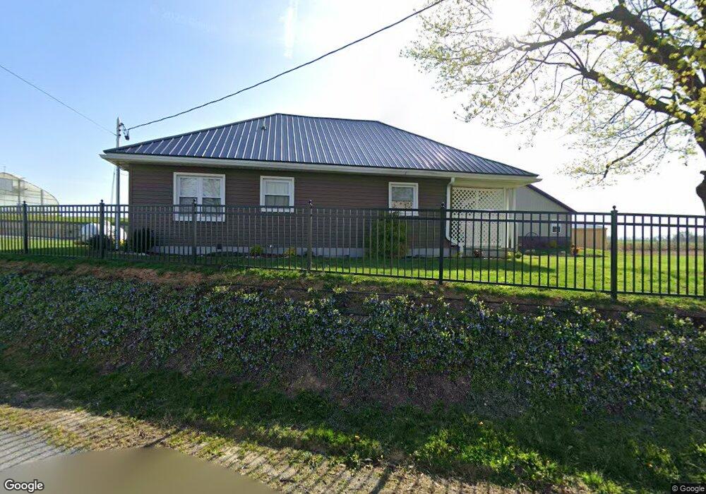
450 Quarry Rd New Holland, PA 17557
Estimated Value: $494,000 - $683,321
2
Beds
1
Bath
1,359
Sq Ft
$412/Sq Ft
Est. Value
About This Home
This home is located at 450 Quarry Rd, New Holland, PA 17557 and is currently estimated at $559,774, approximately $411 per square foot. 450 Quarry Rd is a home located in Lancaster County with nearby schools including Garden Spot Middle School, Garden Spot Senior High School, and Martindale Parochial School.
Ownership History
Date
Name
Owned For
Owner Type
Purchase Details
Closed on
Sep 26, 2019
Sold by
Hoover Carl H and Hoover Esther S
Bought by
Hoover Carl H and Hoover Esther S
Current Estimated Value
Purchase Details
Closed on
Jun 19, 2019
Sold by
Hoover Edwin N and Hoover Almeda B
Bought by
Hoover Carl H and Hoover Esther S
Home Financials for this Owner
Home Financials are based on the most recent Mortgage that was taken out on this home.
Original Mortgage
$160,000
Interest Rate
4.1%
Mortgage Type
Future Advance Clause Open End Mortgage
Purchase Details
Closed on
Nov 18, 2015
Sold by
Dale Jeremy W
Bought by
Hoover Edwin N
Purchase Details
Closed on
Sep 14, 2006
Sold by
Good Robert L and Good John E
Bought by
Dale Jeremy W
Home Financials for this Owner
Home Financials are based on the most recent Mortgage that was taken out on this home.
Original Mortgage
$100,000
Interest Rate
6.71%
Mortgage Type
Unknown
Create a Home Valuation Report for This Property
The Home Valuation Report is an in-depth analysis detailing your home's value as well as a comparison with similar homes in the area
Home Values in the Area
Average Home Value in this Area
Purchase History
| Date | Buyer | Sale Price | Title Company |
|---|---|---|---|
| Hoover Carl H | -- | None Available | |
| Hoover Carl H | -- | None Available | |
| Hoover Edwin N | $113,300 | None Available | |
| Dale Jeremy W | $125,000 | None Available |
Source: Public Records
Mortgage History
| Date | Status | Borrower | Loan Amount |
|---|---|---|---|
| Closed | Hoover Carl H | $160,000 | |
| Previous Owner | Dale Jeremy W | $100,000 |
Source: Public Records
Tax History Compared to Growth
Tax History
| Year | Tax Paid | Tax Assessment Tax Assessment Total Assessment is a certain percentage of the fair market value that is determined by local assessors to be the total taxable value of land and additions on the property. | Land | Improvement |
|---|---|---|---|---|
| 2025 | $2,197 | $339,100 | $230,400 | $108,700 |
| 2024 | $2,197 | $339,100 | $230,400 | $108,700 |
| 2023 | $2,166 | $339,100 | $230,400 | $108,700 |
| 2022 | $2,142 | $339,100 | $230,400 | $108,700 |
| 2021 | $2,108 | $339,100 | $230,400 | $108,700 |
| 2020 | $2,108 | $339,100 | $230,400 | $108,700 |
Source: Public Records
Map
Nearby Homes
- 205 E Main St
- 200 E Main St
- 232 New St
- 575 Red Run Rd
- 412 Linden St
- 61 Gentle Dr
- 420 Linden St
- 1258 Main St
- 210 Musser Rd
- 133 Millstone Dr
- 111 Oatfield Dr
- 20 N Kinzer Ave
- 529 Ranck Rd Unit 1
- 529 Ranck Rd Unit 2
- 529 Ranck Rd Unit 3
- 529 Ranck Rd Unit 4
- 529 Ranck Rd Unit 5
- 529 Ranck Rd Unit 9
- 529 Ranck Rd Unit 6
- 529 Ranck Rd Unit 8