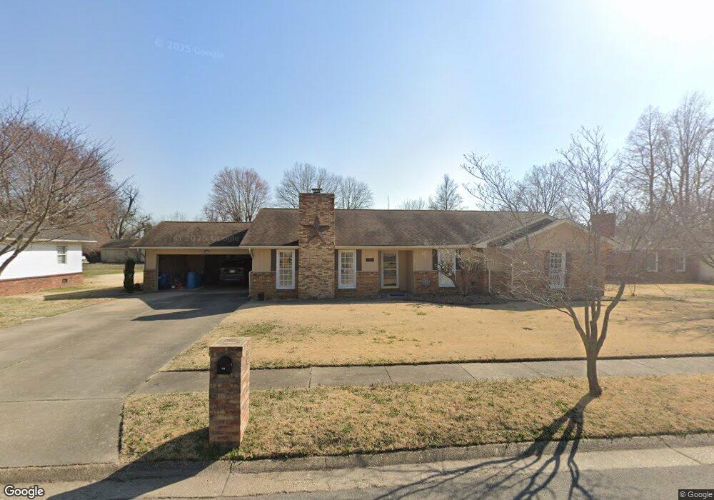
450 Saint Peter Dr New Madrid, MO 63869
New Madrid AreaEstimated Value: $190,000 - $322,000
About This Home
This home is located at 450 Saint Peter Dr, New Madrid, MO 63869 and is currently estimated at $229,717, approximately $109 per square foot. 450 Saint Peter Dr is a home with nearby schools including Central High School and Immaculate Conception School.
Ownership History
We collect this data history from publicly available records. To have your information removed, we recommend requesting removal directly through your county’s website.
Purchase Details
Home Financials for this Owner
Home Financials are based on the most recent Mortgage that was taken out on this home.Home Values in the Area
Average Home Value in this Area
Purchase History
We collect this data history from publicly available records. To have your information removed, we recommend requesting removal directly through your county’s website.
| Date | Buyer | Sale Price | Title Company |
|---|---|---|---|
| -- | Semo Title |
Mortgage History
We collect this data history from publicly available records. To have your information removed, we recommend requesting removal directly through your county’s website.
| Date | Status | Borrower | Loan Amount |
|---|---|---|---|
| Open | $100,000 |
Tax History
We collect this data history from publicly available records. To have your information removed, we recommend requesting removal directly through your county’s website.
| Year | Tax Paid | Tax Assessment Tax Assessment Total Assessment is a certain percentage of the fair market value that is determined by local assessors to be the total taxable value of land and additions on the property. | Land | Improvement |
|---|---|---|---|---|
| 2025 | $1,280 | $24,800 | $1,700 | $23,100 |
| 2024 | $1,192 | $23,000 | $1,700 | $21,300 |
| 2023 | $1,195 | $23,000 | $0 | $0 |
| 2022 | $1,117 | $21,600 | $1,700 | $19,900 |
| 2021 | $1,115 | $21,600 | $0 | $0 |
| 2020 | $1,061 | $21,600 | $0 | $0 |
| 2019 | $1,061 | $20,400 | $1,600 | $18,800 |
| 2018 | $1,025 | $19,720 | $0 | $0 |
| 2017 | $1,015 | $19,720 | $0 | $0 |
| 2016 | -- | $19,720 | $0 | $0 |
| 2015 | -- | $19,720 | $0 | $0 |
| 2014 | -- | $19,720 | $0 | $0 |
Map
- 950 2nd St
- 944 Brush Prairie Rd
- 806 Dawson Rd
- 808 Dawson Rd
- 195 Saint Thomas Ln
- 130 Saint Mark Ln
- 101 Saint Matthew Ln
- 1309 Saint Francis Ln
- 1001 Davis St
- 141 Saint Catherine Ln
- 151 Saint Virginia Ln
- 1325 Mill St
- 000 County Road 732
- 114 E Phillips Ave
- 430 N 3rd St
- 163 Cotton Belt Dr
- 601 State Hwy W
- 0 S Lyon Ave
- State Highway 971
- Island *
- 490 Saint Peter Dr
- 495 Saint Paul Dr
- 495 Saint Peter Dr
- 485 Saint Paul Dr
- 485 Saint Peter Dr
- 501 Saint Paul Dr
- 501 Saint Peter Dr
- 475 Saint Paul Dr
- 430 Saint Peter Dr
- 465 Saint Peter Dr
- 490 Saint Paul Dr
- 530 Saint Peter Dr
- 490 Saint Lawrence Dr
- 455 Saint Paul Dr
- 525 Saint Peter Dr
- 470 Saint Lawrence Dr
- 510 Saint Paul Dr
- 500 Saint Lawrence Dr
- 420 Saint Peter Dr
- 435 Saint Paul Dr
Ask me questions while you tour the home.