450 Starhigh Rd Lawrenceville, PA 16929
Estimated Value: $684,000 - $956,000
3
Beds
3
Baths
4,052
Sq Ft
$209/Sq Ft
Est. Value
About This Home
This home is located at 450 Starhigh Rd, Lawrenceville, PA 16929 and is currently estimated at $848,387, approximately $209 per square foot. 450 Starhigh Rd is a home located in Tioga County with nearby schools including Clark Wood Elementary School and Williamson Senior High School.
Ownership History
Date
Name
Owned For
Owner Type
Purchase Details
Closed on
May 2, 2022
Sold by
Weaver Living Trust
Bought by
Smith Justin D and Smith Sara
Current Estimated Value
Home Financials for this Owner
Home Financials are based on the most recent Mortgage that was taken out on this home.
Original Mortgage
$551,000
Outstanding Balance
$489,260
Interest Rate
4.4%
Mortgage Type
New Conventional
Estimated Equity
$359,127
Create a Home Valuation Report for This Property
The Home Valuation Report is an in-depth analysis detailing your home's value as well as a comparison with similar homes in the area
Home Values in the Area
Average Home Value in this Area
Purchase History
| Date | Buyer | Sale Price | Title Company |
|---|---|---|---|
| Smith Justin D | $740,000 | None Listed On Document |
Source: Public Records
Mortgage History
| Date | Status | Borrower | Loan Amount |
|---|---|---|---|
| Open | Smith Justin D | $551,000 | |
| Closed | Smith Justin D | $160,000 |
Source: Public Records
Tax History Compared to Growth
Tax History
| Year | Tax Paid | Tax Assessment Tax Assessment Total Assessment is a certain percentage of the fair market value that is determined by local assessors to be the total taxable value of land and additions on the property. | Land | Improvement |
|---|---|---|---|---|
| 2025 | $10,198 | $635,860 | $223,100 | $412,760 |
| 2024 | $16,273 | $635,860 | $223,100 | $412,760 |
| 2023 | $10,517 | $334,440 | $63,160 | $271,280 |
| 2022 | $11,124 | $362,250 | $90,970 | $271,280 |
| 2021 | $10,943 | $362,250 | $90,970 | $271,280 |
| 2020 | $10,943 | $362,250 | $90,970 | $271,280 |
| 2019 | $10,723 | $362,250 | $90,970 | $271,280 |
| 2018 | $10,553 | $362,250 | $90,970 | $271,280 |
| 2017 | -- | $362,250 | $90,970 | $271,280 |
| 2016 | $10,008 | $439,180 | $167,900 | $271,280 |
| 2015 | -- | $362,250 | $90,970 | $271,280 |
| 2014 | -- | $362,250 | $90,970 | $271,280 |
Source: Public Records
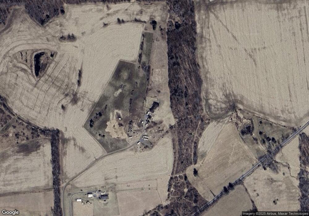
Map
Nearby Homes
- 297 Bully Ln
- 187 Elkhorn Rd
- 4290 Cummings Creek Rd
- 10 Pease Hill Rd
- 1125 Farmington Hill Rd
- 0 Gee Hollow Rd
- 0 Gee Hollow Road Lot Unit WP001
- 404 E Main St
- 409 E Main St
- 106 E Main St
- 202 Proctor Ave
- 0 Coates Ave
- 108 First St
- 305 Oak Ave
- 215 Second St
- 222 Second St
- 1683 Bliss Rd
- 103 Oak Ave
- 101 Close Ave
- 0 Birch Hill Rd
- 444 Starhigh Rd
- 977 Bottom Hill Rd
- 1089 Bottom Hill Rd
- 451 Starhigh Rd
- 0 Bottom Hill Rd
- 976 Bottom Hill Rd
- 801 Bottom Hill Rd
- 297 Starhigh Rd
- 0 Starhigh Rd
- 1868 Thornbottom Rd
- 43 Brimmer Rd
- 2045 Thornbottom Rd
- 53 Brimmer Rd
- 2031 Thornbottom Rd
- 1961 Thornbottom Rd
- 310 Finch Ln
- 191 Bully Ln
- Lot A Rd
- 17 Starhigh Rd
- 601 Bottom Hill Rd