450 Tab Creek Rd Buchanan, GA 30113
Estimated Value: $320,000 - $1,007,731
2
Beds
2
Baths
1,680
Sq Ft
$395/Sq Ft
Est. Value
About This Home
This home is located at 450 Tab Creek Rd, Buchanan, GA 30113 and is currently estimated at $663,866, approximately $395 per square foot. 450 Tab Creek Rd is a home located in Haralson County with nearby schools including Haralson County High School.
Ownership History
Date
Name
Owned For
Owner Type
Purchase Details
Closed on
Jul 22, 2020
Sold by
Mcever Rebecca
Bought by
Kennedy A
Current Estimated Value
Purchase Details
Closed on
Feb 28, 2020
Sold by
Mcever Dennis F
Bought by
Mcever Rebecca
Purchase Details
Closed on
Nov 7, 1985
Sold by
Holcombe Metz J Estate By Key Peggy Jan
Bought by
Mcever Dennis F and Kennedy Junior A
Purchase Details
Closed on
Jan 2, 1975
Sold by
Holcombe Balfour D Mrs
Bought by
Holcombe Metz J
Create a Home Valuation Report for This Property
The Home Valuation Report is an in-depth analysis detailing your home's value as well as a comparison with similar homes in the area
Home Values in the Area
Average Home Value in this Area
Purchase History
| Date | Buyer | Sale Price | Title Company |
|---|---|---|---|
| Kennedy A | -- | -- | |
| Mcever Rebecca | -- | -- | |
| Mcever Rebecca | -- | -- | |
| Mcever Dennis F | $64,000 | -- | |
| Holcombe Metz J | -- | -- |
Source: Public Records
Tax History Compared to Growth
Tax History
| Year | Tax Paid | Tax Assessment Tax Assessment Total Assessment is a certain percentage of the fair market value that is determined by local assessors to be the total taxable value of land and additions on the property. | Land | Improvement |
|---|---|---|---|---|
| 2024 | $4,625 | $274,263 | $120,797 | $153,466 |
| 2023 | $4,349 | $272,632 | $114,343 | $158,289 |
| 2022 | $3,925 | $195,669 | $72,575 | $123,094 |
| 2021 | $4,258 | $254,322 | $127,437 | $126,885 |
| 2020 | $4,424 | $256,849 | $127,437 | $129,412 |
| 2019 | $4,410 | $251,412 | $127,437 | $123,975 |
| 2018 | $4,431 | $230,172 | $106,197 | $123,975 |
| 2017 | $4,106 | $207,226 | $106,197 | $101,029 |
| 2016 | $3,523 | $175,595 | $84,891 | $90,704 |
| 2015 | $3,371 | $174,132 | $84,783 | $89,349 |
| 2014 | $3,328 | $175,408 | $84,783 | $90,625 |
Source: Public Records
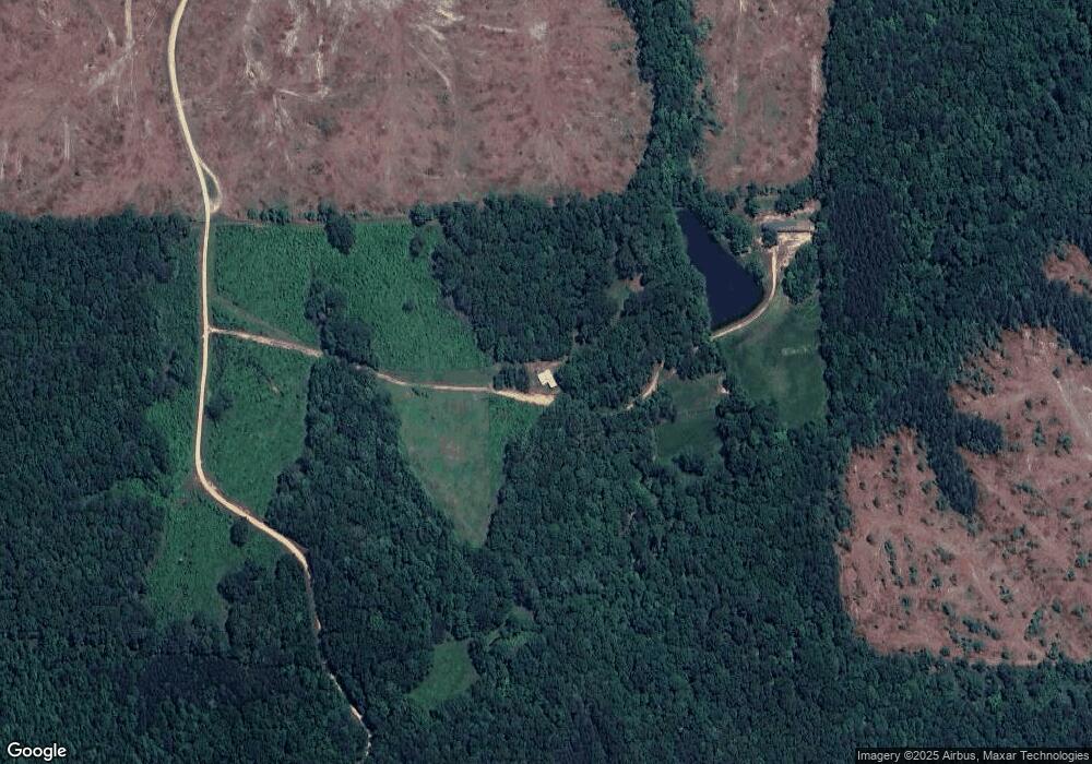
Map
Nearby Homes
- 0 Roy Dean Rd Unit 10564383
- 0 Roy Dean Rd Unit 24150079
- 046.08 Roy Dean Rd
- 280 Corinth-Five Points Rd
- 262 Corinth-Five Points Rd
- 0000 Corinth-Five Points Rd
- 62 Joe Rowell Rd
- 818 Corinth Five Points Rd
- 249 Eastwood Path
- 71 Friendship Church Rd
- 1225 Coppermine Rd
- 00 Coppermine Rd
- 327 Jeffers Rd
- 3200 Rockmart Rd
- 2750 Browning Rd
- 0 Hutcheson Road Off
- 33 Tolbert Rd
- 901 Tallapoosa East Church Rd
- 0 Ga Highway 120 - 2 Acres