450 Tallulah Trail Warner Robins, GA 31088
Estimated Value: $111,000 - $148,406
2
Beds
2
Baths
1,050
Sq Ft
$116/Sq Ft
Est. Value
About This Home
This home is located at 450 Tallulah Trail, Warner Robins, GA 31088 and is currently estimated at $122,102, approximately $116 per square foot. 450 Tallulah Trail is a home located in Houston County with nearby schools including Russell Elementary School, Huntington Middle School, and Warner Robins High School.
Ownership History
Date
Name
Owned For
Owner Type
Purchase Details
Closed on
Dec 28, 2010
Sold by
Jones Denny Ocallaghan
Bought by
Doj Properties Llc
Current Estimated Value
Purchase Details
Closed on
Sep 29, 2005
Sold by
Bass Dorothy P
Bought by
Jones Denny O'Callaghan
Purchase Details
Closed on
Aug 26, 1999
Sold by
Bass Earl P
Bought by
Bass Dorothy P
Purchase Details
Closed on
Jul 28, 1999
Sold by
Dillon Elaine M
Bought by
Bass Earl P
Purchase Details
Closed on
Feb 3, 1997
Sold by
Dillon Michael E and Dillon Elaine M
Bought by
Dillon Elaine M
Purchase Details
Closed on
Feb 20, 1987
Sold by
Harbour Towne Condo Co
Bought by
Dillon Michael E and Dillon Elaine M
Create a Home Valuation Report for This Property
The Home Valuation Report is an in-depth analysis detailing your home's value as well as a comparison with similar homes in the area
Home Values in the Area
Average Home Value in this Area
Purchase History
| Date | Buyer | Sale Price | Title Company |
|---|---|---|---|
| Doj Properties Llc | -- | None Available | |
| Jones Denny O'Callaghan | $48,200 | -- | |
| Bass Dorothy P | -- | -- | |
| Bass Earl P | $39,000 | -- | |
| Dillon Elaine M | -- | -- | |
| Dillon Michael E | -- | -- |
Source: Public Records
Tax History Compared to Growth
Tax History
| Year | Tax Paid | Tax Assessment Tax Assessment Total Assessment is a certain percentage of the fair market value that is determined by local assessors to be the total taxable value of land and additions on the property. | Land | Improvement |
|---|---|---|---|---|
| 2024 | $1,105 | $33,760 | $2,400 | $31,360 |
| 2023 | $926 | $28,080 | $2,400 | $25,680 |
| 2022 | $549 | $23,880 | $2,400 | $21,480 |
| 2021 | $390 | $16,880 | $2,400 | $14,480 |
| 2020 | $379 | $16,320 | $2,400 | $13,920 |
| 2019 | $379 | $16,320 | $2,400 | $13,920 |
| 2018 | $379 | $16,320 | $2,400 | $13,920 |
| 2017 | $380 | $16,320 | $2,400 | $13,920 |
| 2016 | $380 | $16,320 | $2,400 | $13,920 |
| 2015 | -- | $16,320 | $2,400 | $13,920 |
| 2014 | $186 | $16,320 | $2,400 | $13,920 |
| 2013 | $186 | $18,640 | $2,400 | $16,240 |
Source: Public Records
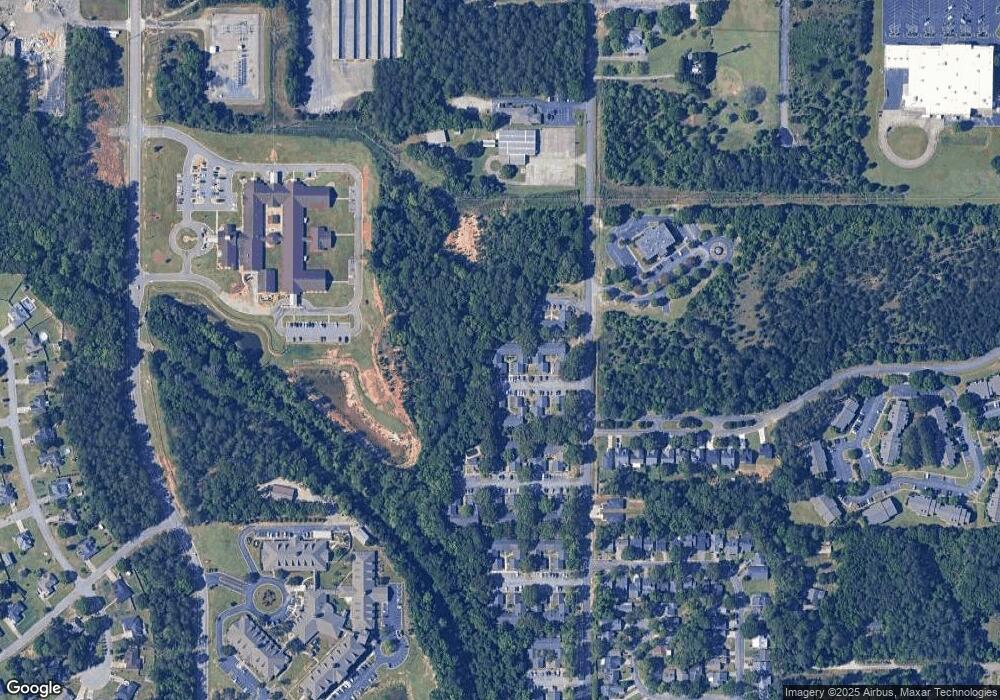
Map
Nearby Homes
- 236 Tallulah Trail
- 230 Tallulah Trail
- 254 Southland Station Dr
- 122 Tallulah Trail
- 102 Tallulah Trail
- 116 Lake Pointe Dr
- 105 Ridge Pointe Ct
- 116 Woodfield Dr
- 104 Crossing Place
- 303 Leisure Lake Dr
- 305 Bonnie Dr
- 124 Stonehedge Dr
- 141 Stoneridge Dr
- 140 Stoneridge Dr
- 202 Kimberly Rd
- 101 Leisure Lake Ct
- 104 Breeze Point Trail
- 452 Tallulah Trail
- 446 Tallulah Trail
- 454 Tallulah Trail
- 444 Tallulah Trail
- 442 Tallulah Trail
- 438 Tallulah Trail
- 440 Tallulah Trail Unit 7
- 440 Tallulah Trail
- 508 Tallulah Trail
- 434 Tallulah Trail
- 426 Tallulah Trail
- 414 Tallulah Trail
- 432 Tallulah Trail
- 502 Tallulah Trail
- 430 Tallulah Trail Unit 2
- 430 Tallulah Trail
- 424 Tallulah Trail
- 416 Tallulah Trail
- 412 Tallulah Trail
- 500 Tallulah Trail