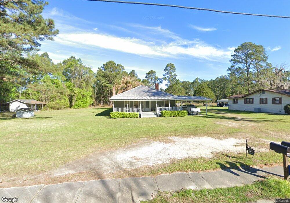
450 U S 84 Stockton, GA 31649
Estimated Value: $113,000 - $161,000
2
Beds
1
Bath
1,846
Sq Ft
$77/Sq Ft
Est. Value
About This Home
This home is located at 450 U S 84, Stockton, GA 31649 and is currently estimated at $141,570, approximately $76 per square foot. 450 U S 84 is a home located in Lanier County with nearby schools including Lanier County Elementary School, Lanier County Middle School, and Lanier County High School.
Ownership History
Date
Name
Owned For
Owner Type
Purchase Details
Closed on
Jan 24, 2023
Sold by
Bowling John F
Bought by
Howell Leroy Maxwell
Current Estimated Value
Home Financials for this Owner
Home Financials are based on the most recent Mortgage that was taken out on this home.
Original Mortgage
$57,500
Outstanding Balance
$52,914
Interest Rate
6.33%
Mortgage Type
Mortgage Modification
Estimated Equity
$88,656
Purchase Details
Closed on
May 30, 2018
Sold by
Bowling John F
Bought by
Bowling Travis Lee
Create a Home Valuation Report for This Property
The Home Valuation Report is an in-depth analysis detailing your home's value as well as a comparison with similar homes in the area
Purchase History
| Date | Buyer | Sale Price | Title Company |
|---|---|---|---|
| Howell Leroy Maxwell | $28,000 | -- | |
| Bowling Travis Lee | -- | -- |
Source: Public Records
Mortgage History
| Date | Status | Borrower | Loan Amount |
|---|---|---|---|
| Open | Howell Leroy Maxwell | $57,500 |
Source: Public Records
Tax History
| Year | Tax Paid | Tax Assessment Tax Assessment Total Assessment is a certain percentage of the fair market value that is determined by local assessors to be the total taxable value of land and additions on the property. | Land | Improvement |
|---|---|---|---|---|
| 2025 | $1,364 | $52,360 | $6,200 | $46,160 |
| 2024 | $1,449 | $53,456 | $6,400 | $47,056 |
| 2023 | $1,019 | $39,192 | $12,200 | $26,992 |
| 2022 | $1,244 | $39,192 | $12,200 | $26,992 |
| 2021 | $1,271 | $39,192 | $12,200 | $26,992 |
| 2020 | $1,281 | $39,192 | $12,200 | $26,992 |
| 2019 | $1,281 | $39,192 | $12,200 | $26,992 |
| 2018 | $1,320 | $40,392 | $13,400 | $26,992 |
| 2017 | $1,321 | $40,392 | $13,400 | $26,992 |
| 2016 | $1,326 | $40,392 | $13,400 | $26,992 |
| 2015 | -- | $40,392 | $13,400 | $26,992 |
| 2014 | -- | $40,392 | $13,400 | $26,992 |
| 2013 | -- | $40,392 | $13,400 | $26,992 |
Source: Public Records
Map
Nearby Homes
- LOT 84 Ryegrass Rd
- TBA US Hwy 129
- 106 Quail Run
- LT 85 B River Trail
- 47 River Trail
- 6377 Lake Alapaha Blvd
- LT 95G River Trail
- 6441 Lake Alapaha Blvd
- 6429 Lake Alapaha Blvd
- 6422 Lake Alapaha Blvd
- 6423 Lake Alapaha Blvd
- 6345 Lake Alapaha Blvd
- 6416 Lake Alapaha Blvd
- Lot #6 Natures Way
- Lot #8 Natures Way
- Lot 7 Natures Way
- 5804 Live Oak Dr
- 5983 Lake Shore Dr
- 5994 Lake Shore Dr
- 6114 Lake Shore Dr
- 448 W Highway 84
- 449 W Highway 84
- 443 W Highway 84
- 440 W Highway 84
- 473 E Highway 84
- 1160 N Lakeshore Dr
- 446 W Highway 84
- 54 Beauford Ln
- 420 W Highway 84
- 421 W Highway 84
- 28 Beauford Ln
- 414 W Highway 84
- 1563 S Highway 129
- TBA Us Hwy 129 (3 Acres)
- Tract 2 S Highway 129
- 398 W Highway 84
- 3947 Us Highway 129 N
- 384 W Highway 84
- 17 Withers Rd
- 41 Pine Cir
Your Personal Tour Guide
Ask me questions while you tour the home.