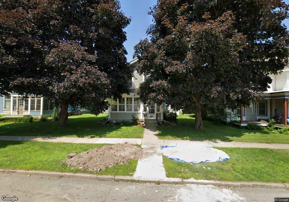
450 W 7th St Red Wing, MN 55066
Estimated Value: $308,132 - $333,000
5
Beds
2
Baths
2,313
Sq Ft
$138/Sq Ft
Est. Value
About This Home
This home is located at 450 W 7th St, Red Wing, MN 55066 and is currently estimated at $318,783, approximately $137 per square foot. 450 W 7th St is a home located in Goodhue County with nearby schools including Sunnyside Elementary School, Burnside Elementary School, and Twin Bluff Middle School.
Ownership History
Date
Name
Owned For
Owner Type
Purchase Details
Closed on
Mar 22, 2019
Sold by
Johnson Randall W and Johnson Penny L
Bought by
Buck Nicole M
Current Estimated Value
Purchase Details
Closed on
Aug 16, 2017
Sold by
Miller Michae and Miller A
Bought by
Johnson Randall W and Johnson Penny L
Purchase Details
Closed on
Jul 14, 2006
Sold by
Jorgensen Elaine M
Bought by
Miller Michael Allen and Boehlke Christine Lynette
Create a Home Valuation Report for This Property
The Home Valuation Report is an in-depth analysis detailing your home's value as well as a comparison with similar homes in the area
Home Values in the Area
Average Home Value in this Area
Purchase History
| Date | Buyer | Sale Price | Title Company |
|---|---|---|---|
| Buck Nicole M | $255,000 | -- | |
| Johnson Randall W | $230,000 | None Available | |
| Miller Michael Allen | $217,000 | -- |
Source: Public Records
Tax History
| Year | Tax Paid | Tax Assessment Tax Assessment Total Assessment is a certain percentage of the fair market value that is determined by local assessors to be the total taxable value of land and additions on the property. | Land | Improvement |
|---|---|---|---|---|
| 2025 | $3,718 | $297,300 | $32,500 | $264,800 |
| 2024 | $3,718 | $292,100 | $32,500 | $259,600 |
| 2023 | $1,854 | $275,600 | $32,500 | $243,100 |
| 2022 | $3,242 | $273,800 | $32,500 | $241,300 |
| 2021 | $2,998 | $230,700 | $32,500 | $198,200 |
| 2020 | $2,928 | $217,700 | $32,500 | $185,200 |
| 2019 | $2,924 | $200,700 | $32,500 | $168,200 |
| 2018 | $2,306 | $202,600 | $31,200 | $171,400 |
| 2017 | $2,270 | $175,300 | $31,200 | $144,100 |
| 2016 | $2,080 | $174,600 | $31,200 | $143,400 |
| 2015 | $1,940 | $168,800 | $31,200 | $137,600 |
| 2014 | -- | $158,500 | $31,200 | $127,300 |
Source: Public Records
Map
Nearby Homes
- 402 W 7th St
- 463 8th St
- 320 W 7th St
- 520 10th St
- 831 Central Ave
- 617 W 3rd St
- 222 Bush St Unit 402
- 222 Bush St Unit 302
- 222 Bush St Unit 404
- 222 Bush St Unit 303
- 222 Bush St Unit 301
- 222 Bush St Unit 304
- 222 Bush St Unit 401
- 815 W 4th St
- 418 Franklin St
- 225 E 5th St
- 910 W 4th St
- 1004 College Ave
- 462 13th St
- 264 E 5th St
Your Personal Tour Guide
Ask me questions while you tour the home.