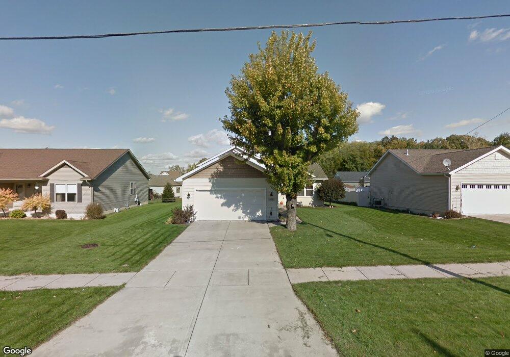
450 W Goldsboro St Crown Point, IN 46307
Estimated Value: $282,000 - $348,000
3
Beds
2
Baths
1,928
Sq Ft
$165/Sq Ft
Est. Value
About This Home
This home is located at 450 W Goldsboro St, Crown Point, IN 46307 and is currently estimated at $318,777, approximately $165 per square foot. 450 W Goldsboro St is a home located in Lake County with nearby schools including Timothy Ball Elementary School, Robert Taft Middle School, and Crown Point High School.
Ownership History
Date
Name
Owned For
Owner Type
Purchase Details
Closed on
Jun 21, 2005
Sold by
American Heritage Construction Corp
Bought by
Modglin Denise
Current Estimated Value
Home Financials for this Owner
Home Financials are based on the most recent Mortgage that was taken out on this home.
Original Mortgage
$118,500
Outstanding Balance
$62,302
Interest Rate
5.87%
Mortgage Type
Fannie Mae Freddie Mac
Estimated Equity
$256,475
Create a Home Valuation Report for This Property
The Home Valuation Report is an in-depth analysis detailing your home's value as well as a comparison with similar homes in the area
Home Values in the Area
Average Home Value in this Area
Purchase History
| Date | Buyer | Sale Price | Title Company |
|---|---|---|---|
| Modglin Denise | -- | Ticor Title Insurance |
Source: Public Records
Mortgage History
| Date | Status | Borrower | Loan Amount |
|---|---|---|---|
| Open | Modglin Denise | $118,500 |
Source: Public Records
Tax History Compared to Growth
Tax History
| Year | Tax Paid | Tax Assessment Tax Assessment Total Assessment is a certain percentage of the fair market value that is determined by local assessors to be the total taxable value of land and additions on the property. | Land | Improvement |
|---|---|---|---|---|
| 2024 | $6,132 | $235,000 | $49,900 | $185,100 |
| 2023 | $2,443 | $223,100 | $49,900 | $173,200 |
| 2022 | $2,433 | $220,000 | $49,900 | $170,100 |
| 2021 | $2,301 | $208,400 | $38,500 | $169,900 |
| 2020 | $2,209 | $200,300 | $38,500 | $161,800 |
| 2019 | $2,188 | $194,500 | $38,500 | $156,000 |
| 2018 | $2,345 | $188,500 | $38,500 | $150,000 |
| 2017 | $2,451 | $193,100 | $38,500 | $154,600 |
| 2016 | $2,431 | $189,400 | $38,500 | $150,900 |
| 2014 | $2,256 | $189,300 | $38,600 | $150,700 |
| 2013 | $2,264 | $188,100 | $38,500 | $149,600 |
Source: Public Records
Map
Nearby Homes
- 621 Pratt St
- 301 Hoffman St
- 511 N West St
- 306 Holton Ridge
- 221 N West St
- 312 Summit Park Ct S
- 808 N West St
- 512 W Joliet St
- 767 Kenmare Pkwy
- 771 Kenmare Pkwy
- 0 W Joliet St
- 114 S Chase Dr
- 222 Maple St
- 206 Birch St
- 1 Walnut Pkwy
- 138 N Grant St
- 1206 Sycamore St
- 3725 W 105th Ave
- 7830 W 106th Ln
- 7770 W 106th Ln
- 450 W Goldsborough St
- 420 W Goldsborough St
- 420 W Goldsborough St
- 500 W Goldsboro St
- 500 W Goldsborough St
- 515 W Monitor St
- 416 W Goldsboro St
- 416 W Goldsborough St
- 525 W Monitor St
- 510 W Goldsborough St
- 510 W Goldsboro St
- 409 Ruschli St
- 410 W Goldsboro St
- 410 W Goldsborough St
- 490 Ruschli St
- 535 W Monitor St
- 505 W Monitor St
- 511 W Goldsborough St
- 511 W Goldsborough St
- 404 W Goldsboro St