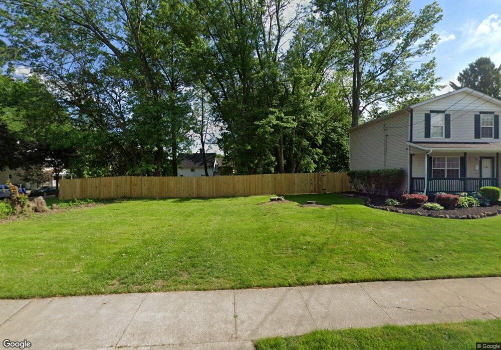
450 W Thornton St Akron, OH 44307
Sherbondy Hill Neighborhood
--
Bed
--
Bath
--
Sq Ft
3,703
Sq Ft Lot
About This Home
This home is located at 450 W Thornton St, Akron, OH 44307. 450 W Thornton St is a home located in Summit County with nearby schools including St. Bernard-St. Mary Elementary School.
Ownership History
Date
Name
Owned For
Owner Type
Purchase Details
Closed on
Nov 6, 2017
Sold by
The City Of Akron
Bought by
Elston Byron T
Purchase Details
Closed on
Feb 28, 2017
Sold by
Isom Aaron and Scalise Kristen M
Bought by
City Of Akron
Purchase Details
Closed on
Oct 26, 1999
Sold by
Greentree Financial Servicing Corp
Bought by
Isom Aaron
Home Financials for this Owner
Home Financials are based on the most recent Mortgage that was taken out on this home.
Original Mortgage
$14,400
Interest Rate
7.87%
Purchase Details
Closed on
Apr 26, 1999
Sold by
Boddie Will W and Boddie William W
Bought by
Green Tree Financial Servicing Corp
Purchase Details
Closed on
Dec 1, 1997
Sold by
Houglan Patricia A
Bought by
Boddie William
Create a Home Valuation Report for This Property
The Home Valuation Report is an in-depth analysis detailing your home's value as well as a comparison with similar homes in the area
Home Values in the Area
Average Home Value in this Area
Purchase History
| Date | Buyer | Sale Price | Title Company |
|---|---|---|---|
| Elston Byron T | -- | None Available | |
| City Of Akron | -- | None Available | |
| Isom Aaron | $15,900 | Beacon Title Agency Inc | |
| Green Tree Financial Servicing Corp | -- | -- | |
| Boddie William | $18,000 | -- |
Source: Public Records
Mortgage History
| Date | Status | Borrower | Loan Amount |
|---|---|---|---|
| Previous Owner | Isom Aaron | $14,400 |
Source: Public Records
Tax History Compared to Growth
Tax History
| Year | Tax Paid | Tax Assessment Tax Assessment Total Assessment is a certain percentage of the fair market value that is determined by local assessors to be the total taxable value of land and additions on the property. | Land | Improvement |
|---|---|---|---|---|
| 2021 | -- | $0 | $0 | $0 |
| 2020 | $0 | $0 | $0 | $0 |
| 2019 | $118 | $0 | $0 | $0 |
| 2018 | $266 | $2,260 | $2,260 | $0 |
| 2017 | $236 | $2,260 | $2,260 | $0 |
| 2016 | $236 | $2,260 | $2,260 | $0 |
| 2015 | $236 | $2,260 | $2,260 | $0 |
| 2014 | $443 | $2,260 | $2,260 | $0 |
| 2013 | $231 | $2,260 | $2,260 | $0 |
Source: Public Records
Map
Nearby Homes
- 1063 Raymond St
- 949 Raymond St
- 1001 Celina Ave
- 364 Campbell St
- 834 Kenyon St
- 1132 Bristol Terrace
- 963 Penn Ave
- 1174 La Croix Ave
- 817 Raymond St
- 677 Vernon Odom Blvd
- 810 Amherst St
- 721 Vernon Odom Blvd
- 737 Vernon Odom Blvd
- 849 Amherst St
- 151 Russell Ave
- 738 Longview Ave
- 794 Ruth Ave
- 699 Fultz St
- 832 Yale St
- 776 Krause Ct
- 1054 Norka St
- 456 W Thornton St
- 1056 Norka St
- 438 W Thornton St
- 447 W Thornton St
- 1060 Norka St
- 460 W Thornton St
- 1049 Norka St
- 445 W Thornton St
- 434 W Thornton St
- 455 W Thornton St
- 443 W Thornton St
- 1064 Norka St
- 441 W Thornton St
- 1057 Norka St
- 430 W Thornton St
- 1059 Schumacher Ave
- 1068 Norka St
- 1061 Schumacher Ave
- 1065 Norka St