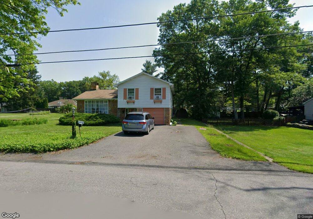
450 White Birch St East Stroudsburg, PA 18301
Estimated Value: $297,000 - $311,000
3
Beds
2
Baths
1,278
Sq Ft
$238/Sq Ft
Est. Value
About This Home
This home is located at 450 White Birch St, East Stroudsburg, PA 18301 and is currently estimated at $304,391, approximately $238 per square foot. 450 White Birch St is a home located in Monroe County with nearby schools including Stroudsburg Junior High School, Stroudsburg High School, and Summit School Of The Poconos.
Ownership History
Date
Name
Owned For
Owner Type
Purchase Details
Closed on
Nov 4, 2024
Sold by
Metzgar Marie T and Meyer Mary E
Bought by
Quesada Victor and Rogers Andria
Current Estimated Value
Home Financials for this Owner
Home Financials are based on the most recent Mortgage that was taken out on this home.
Original Mortgage
$285,000
Outstanding Balance
$282,147
Interest Rate
6.09%
Mortgage Type
New Conventional
Estimated Equity
$22,244
Purchase Details
Closed on
Jan 16, 1959
Bought by
Metzgar Robert L and Metzgar Marie T
Create a Home Valuation Report for This Property
The Home Valuation Report is an in-depth analysis detailing your home's value as well as a comparison with similar homes in the area
Home Values in the Area
Average Home Value in this Area
Purchase History
| Date | Buyer | Sale Price | Title Company |
|---|---|---|---|
| Quesada Victor | $300,000 | None Listed On Document | |
| Quesada Victor | $300,000 | None Listed On Document | |
| Metzgar Robert L | $800 | -- |
Source: Public Records
Mortgage History
| Date | Status | Borrower | Loan Amount |
|---|---|---|---|
| Open | Quesada Victor | $285,000 | |
| Closed | Quesada Victor | $285,000 |
Source: Public Records
Tax History Compared to Growth
Tax History
| Year | Tax Paid | Tax Assessment Tax Assessment Total Assessment is a certain percentage of the fair market value that is determined by local assessors to be the total taxable value of land and additions on the property. | Land | Improvement |
|---|---|---|---|---|
| 2025 | $1,116 | $135,430 | $22,920 | $112,510 |
| 2024 | $913 | $135,430 | $22,920 | $112,510 |
| 2023 | $4,521 | $135,430 | $22,920 | $112,510 |
| 2022 | $4,616 | $135,430 | $22,920 | $112,510 |
| 2021 | $4,474 | $135,430 | $22,920 | $112,510 |
| 2020 | $4,032 | $135,430 | $22,920 | $112,510 |
| 2019 | $4,506 | $23,900 | $5,250 | $18,650 |
| 2018 | $4,807 | $23,900 | $5,250 | $18,650 |
| 2017 | $4,807 | $23,900 | $5,250 | $18,650 |
| 2016 | $905 | $23,900 | $5,250 | $18,650 |
| 2015 | -- | $23,900 | $5,250 | $18,650 |
| 2014 | -- | $23,900 | $5,250 | $18,650 |
Source: Public Records
Map
Nearby Homes
- 720 Stokes Mill Rd
- 0 Seneca Way
- 772 Mohawk Trail
- 179 King St
- 137 Berwick Heights Rd
- 1191 Appenzeller Ave
- 118 Burgoon Rd
- 1184 Appenzeller Ave
- 3 Oakland Ave
- 1 Oakland Ave
- 0 Monroe-Heights Rd
- 144 W Broad St
- 198 Grove St
- 0 Eagle Drive (Bush) Ct
- 202 N Courtland St Unit 1 & 2
- 202 N Courtland St
- 197 Meyers St
- 727 Milford Rd
- 182 State St
- 73 E Broad St
- 450 White Birch St
- 446 White Birch St
- 0 White Birch St
- 6443 White Birch St
- 449 White Birch St
- 6450 White Birch St
- 435 Cottontail Ln
- 445 White Birch St
- 421 Cottontail Ln
- 6420 White Birch St
- 449 Cottontail Ln
- 420 White Birch St
- 15 Cottontail Ln
- 7442 Cottontail Ln
- 53 Cottontail Ln
- 6425 White Birch St
- 413 Cottontail Ln
- 443 White Birch St
- 431 White Birch St
- 456 White Birch St