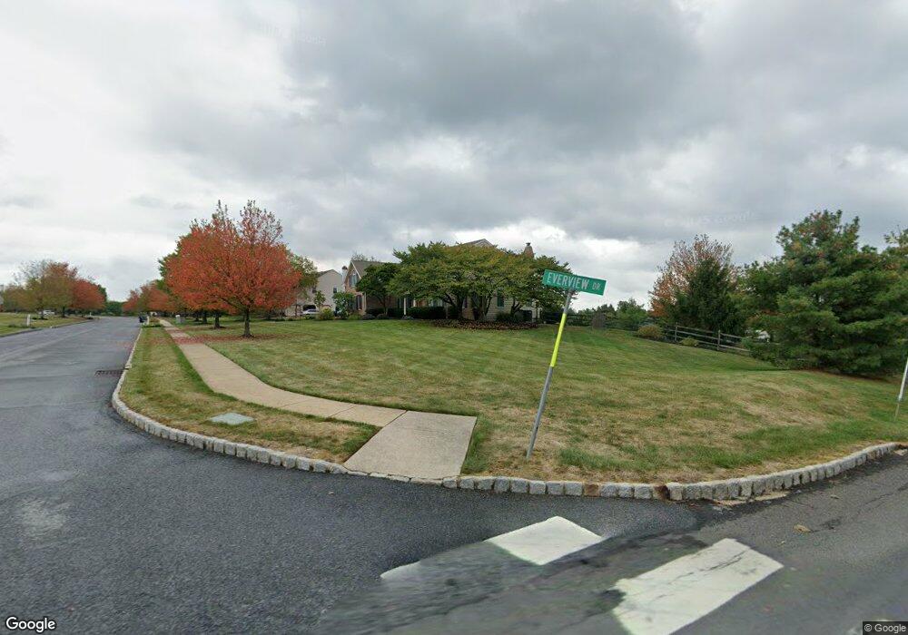
4500 Everview Dr Doylestown, PA 18902
Plumstead NeighborhoodEstimated Value: $1,084,000 - $1,250,000
4
Beds
4
Baths
3,905
Sq Ft
$296/Sq Ft
Est. Value
About This Home
This home is located at 4500 Everview Dr, Doylestown, PA 18902 and is currently estimated at $1,157,091, approximately $296 per square foot. 4500 Everview Dr is a home located in Bucks County with nearby schools including Gayman Elementary School, Tohickon Middle School, and Central Bucks High School - East.
Ownership History
Date
Name
Owned For
Owner Type
Purchase Details
Closed on
Nov 3, 1995
Sold by
Heritage Country Ridge Lp
Bought by
Hynson Scott Andrew and Hynson Lisa Mcgoldrick
Current Estimated Value
Home Financials for this Owner
Home Financials are based on the most recent Mortgage that was taken out on this home.
Original Mortgage
$247,000
Outstanding Balance
$3,462
Interest Rate
7.62%
Estimated Equity
$1,153,629
Create a Home Valuation Report for This Property
The Home Valuation Report is an in-depth analysis detailing your home's value as well as a comparison with similar homes in the area
Home Values in the Area
Average Home Value in this Area
Purchase History
| Date | Buyer | Sale Price | Title Company |
|---|---|---|---|
| Hynson Scott Andrew | $359,900 | First American Title Ins Co |
Source: Public Records
Mortgage History
| Date | Status | Borrower | Loan Amount |
|---|---|---|---|
| Open | Hynson Scott Andrew | $247,000 |
Source: Public Records
Tax History
| Year | Tax Paid | Tax Assessment Tax Assessment Total Assessment is a certain percentage of the fair market value that is determined by local assessors to be the total taxable value of land and additions on the property. | Land | Improvement |
|---|---|---|---|---|
| 2025 | $12,413 | $71,440 | $5,800 | $65,640 |
| 2024 | $12,413 | $71,440 | $5,800 | $65,640 |
| 2023 | $12,018 | $71,440 | $5,800 | $65,640 |
| 2022 | $11,884 | $71,440 | $5,800 | $65,640 |
| 2021 | $11,751 | $71,440 | $5,800 | $65,640 |
| 2020 | $11,751 | $71,440 | $5,800 | $65,640 |
| 2019 | $11,680 | $71,440 | $5,800 | $65,640 |
| 2018 | $11,680 | $71,440 | $5,800 | $65,640 |
| 2017 | $11,519 | $71,440 | $5,800 | $65,640 |
| 2016 | $11,519 | $71,440 | $5,800 | $65,640 |
| 2015 | -- | $71,440 | $5,800 | $65,640 |
| 2014 | -- | $71,440 | $5,800 | $65,640 |
Source: Public Records
Map
Nearby Homes
- 4745 Nottingham Way
- 4215 Ferguson Dr
- 4306 Kleinot Dr
- 4298 Kleinot Dr
- 4246 Kleinot Dr
- 4330 Kleinot Dr
- 4464 Kleinot Dr
- 4317 Kleinot Dr
- 4783 Landisville Rd
- 30 John Dyer Way
- 4990 Point Pleasant Pike
- 4179 Miladies Ln
- 3970 Salome Rd
- 3910 Cephas Child Rd Unit 6
- 4533 Deep Creek Way
- LOT 1 Curly Hill Rd
- LOT 2 Curly Hill Rd
- 5182 Point Pleasant Pike
- 6680 Point Pleasant Pike
- 3960 S Mallard Ln
- 4735 Burnt House Hill Rd
- 4592 Summerhill Dr
- 4503 Everview Dr
- 4796 Burnt House Hill Rd
- 4590 Summerhill Dr
- 4525 Everview Dr
- 4780 Burnt House Hill Rd
- 4550 Everview Dr
- 4588 Summerhill Dr
- 4591 Summerhill Dr
- 4586 Summerhill Dr
- 4565 Everview Dr
- 4752 Plumcrest Ln
- 4589 Summerhill Dr
- 4587 Summerhill Dr
- 4584 Summerhill Dr
- 4685 Burnt House Hill Rd
- 4695 Burnt House Hill Rd
- 4585 Summerhill Dr
- 4582 Summerhill Dr
Your Personal Tour Guide
Ask me questions while you tour the home.