Estimated Value: $273,000 - $317,000
2
Beds
4
Baths
1,528
Sq Ft
$189/Sq Ft
Est. Value
About This Home
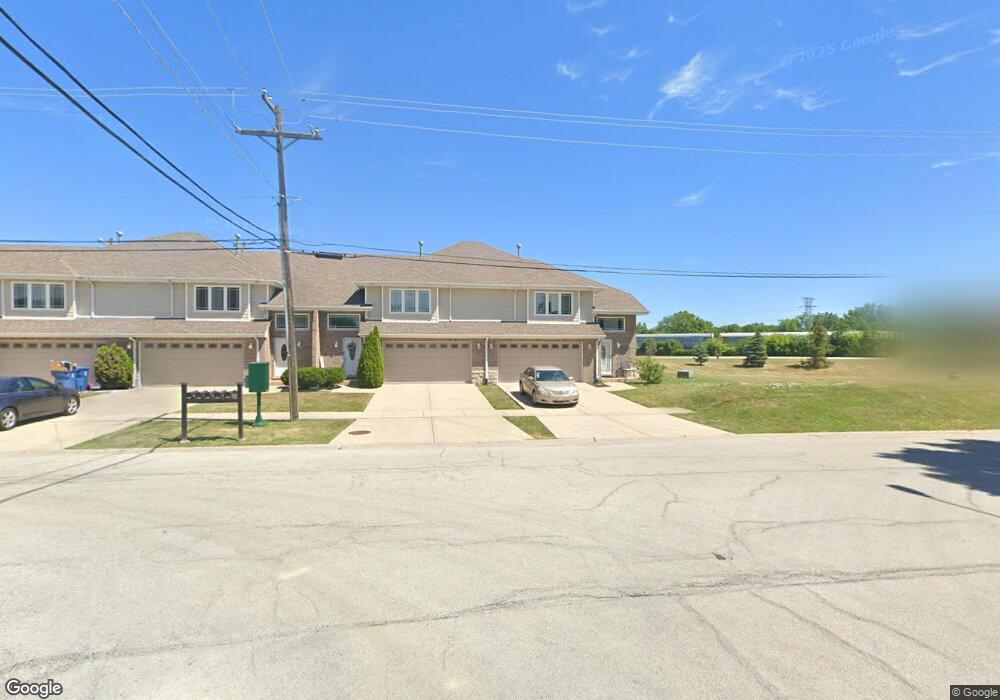
This home is located at 4500 W 122nd St, Alsip, IL 60803 and is currently estimated at $289,273, approximately $189 per square foot. 4500 W 122nd St is a home located in Cook County with nearby schools including Lane Elementary School, Prairie Jr High School, and A B Shepard High School.
Ownership History
Date
Name
Owned For
Owner Type
Purchase Details
Closed on
Nov 15, 2010
Sold by
Mb Financial Bank Na
Bought by
Roper Yvette Dean
Current Estimated Value
Home Financials for this Owner
Home Financials are based on the most recent Mortgage that was taken out on this home.
Original Mortgage
$152,841
Outstanding Balance
$97,451
Interest Rate
3.62%
Mortgage Type
FHA
Estimated Equity
$191,822
Purchase Details
Closed on
Aug 22, 2007
Sold by
Mbca Inc
Bought by
Schnell Alicia
Home Financials for this Owner
Home Financials are based on the most recent Mortgage that was taken out on this home.
Original Mortgage
$248,310
Interest Rate
6.71%
Mortgage Type
Purchase Money Mortgage
Create a Home Valuation Report for This Property
The Home Valuation Report is an in-depth analysis detailing your home's value as well as a comparison with similar homes in the area
Home Values in the Area
Average Home Value in this Area
Purchase History
| Date | Buyer | Sale Price | Title Company |
|---|---|---|---|
| Roper Yvette Dean | $155,000 | Cti | |
| Schnell Alicia | $276,000 | Cti |
Source: Public Records
Mortgage History
| Date | Status | Borrower | Loan Amount |
|---|---|---|---|
| Open | Roper Yvette Dean | $152,841 | |
| Previous Owner | Schnell Alicia | $248,310 |
Source: Public Records
Tax History Compared to Growth
Tax History
| Year | Tax Paid | Tax Assessment Tax Assessment Total Assessment is a certain percentage of the fair market value that is determined by local assessors to be the total taxable value of land and additions on the property. | Land | Improvement |
|---|---|---|---|---|
| 2024 | $6,522 | $23,000 | $733 | $22,267 |
| 2023 | $6,641 | $23,000 | $733 | $22,267 |
| 2022 | $6,641 | $19,956 | $633 | $19,323 |
| 2021 | $6,352 | $19,955 | $633 | $19,322 |
| 2020 | $6,364 | $19,955 | $633 | $19,322 |
| 2019 | $6,615 | $20,317 | $566 | $19,751 |
| 2018 | $6,366 | $20,317 | $566 | $19,751 |
| 2017 | $6,435 | $20,317 | $566 | $19,751 |
| 2016 | $5,112 | $15,684 | $466 | $15,218 |
| 2015 | $6,002 | $18,228 | $466 | $17,762 |
| 2014 | $5,814 | $18,228 | $466 | $17,762 |
| 2013 | $4,416 | $15,490 | $466 | $15,024 |
Source: Public Records
Map
Nearby Homes
- 12026 S Kildare Ave Unit 16
- 4804 W 118th St
- 4808 W 118th St
- 4735 W 122nd St
- 12147 S Cicero Ave
- 12417 S Orchard St
- 12024 S Van Beveren Dr
- 4511 W Howdy Ln
- 11906 S Cicero Ave
- 4833 W 123rd Place
- 12507 S Tripp Ave
- 4207 W Jobev Ln
- 4309 W Park Lane Dr Unit 2B
- 12549 S Tripp Ave
- 11824 S Karlov Ave
- 4336 W Emerald Way St
- 4343 W Emerald Way St
- 4326 W Emerald Way St
- 5008 W 122nd St Unit 1A
- 11801 S Karlov Ave Unit 303
- 4504 W 122nd St Unit 2
- 4504 W 122nd St
- 4508 W 122nd St
- 4508 W 122nd St Unit 3
- 4516 W 122nd St Unit 5
- 4512 W 122nd St Unit 4
- 4512 W 122nd St
- 12200 S 45th Ave
- 12202 S 45th Ave
- 12204 S 45th Ave
- 12204 S 45th Ave
- 12207 S 45th Ave
- 12211 S 45th Ave
- 4416 W Mulberry Dr
- 14868 W Moorings Ln
- 4412 W Mulberry Dr
- 12214 S 44th Place
- 4400 W 122nd St
- 12215 S 45th Ave
- 4408 W Mulberry Dr