4501 Buckingham Cir Decatur, GA 30035
Southwest DeKalb NeighborhoodEstimated Value: $325,000 - $389,000
5
Beds
4
Baths
2,910
Sq Ft
$121/Sq Ft
Est. Value
About This Home
This home is located at 4501 Buckingham Cir, Decatur, GA 30035 and is currently estimated at $351,824, approximately $120 per square foot. 4501 Buckingham Cir is a home located in DeKalb County with nearby schools including Canby Lane Elementary School, Mary McLeod Bethune Middle School, and Towers High School.
Ownership History
Date
Name
Owned For
Owner Type
Purchase Details
Closed on
Jan 7, 2011
Sold by
All Or Nothing Invs Llc & +
Bought by
Bridges John H
Current Estimated Value
Home Financials for this Owner
Home Financials are based on the most recent Mortgage that was taken out on this home.
Original Mortgage
$72,522
Outstanding Balance
$50,933
Interest Rate
5.5%
Mortgage Type
FHA
Estimated Equity
$300,891
Purchase Details
Closed on
Apr 23, 2010
Sold by
Deutsche Bk Trust 2007-1
Bought by
All Or Nothing Investments Llc
Purchase Details
Closed on
Mar 3, 2009
Sold by
Westmoreland Lanier
Bought by
Deutsche Bk Natl Trust Co 2007
Purchase Details
Closed on
Dec 13, 2001
Sold by
Lassiter John Q Lassiter Est
Bought by
Lassiter Origa M
Create a Home Valuation Report for This Property
The Home Valuation Report is an in-depth analysis detailing your home's value as well as a comparison with similar homes in the area
Home Values in the Area
Average Home Value in this Area
Purchase History
| Date | Buyer | Sale Price | Title Company |
|---|---|---|---|
| Bridges John H | $73,500 | -- | |
| All Or Nothing Investments Llc | $47,000 | -- | |
| Deutsche Bk Natl Trust Co 2007 | $153,175 | -- | |
| Lassiter Origa M | -- | -- |
Source: Public Records
Mortgage History
| Date | Status | Borrower | Loan Amount |
|---|---|---|---|
| Open | Bridges John H | $72,522 |
Source: Public Records
Tax History Compared to Growth
Tax History
| Year | Tax Paid | Tax Assessment Tax Assessment Total Assessment is a certain percentage of the fair market value that is determined by local assessors to be the total taxable value of land and additions on the property. | Land | Improvement |
|---|---|---|---|---|
| 2025 | $5,730 | $120,360 | $12,000 | $108,360 |
| 2024 | $5,894 | $124,120 | $12,000 | $112,120 |
| 2023 | $5,894 | $116,480 | $12,000 | $104,480 |
| 2022 | $4,938 | $104,280 | $6,080 | $98,200 |
| 2021 | $3,453 | $70,440 | $6,080 | $64,360 |
| 2020 | $3,391 | $69,040 | $6,080 | $62,960 |
| 2019 | $3,488 | $71,240 | $6,080 | $65,160 |
| 2018 | $2,481 | $63,560 | $6,080 | $57,480 |
| 2017 | $2,564 | $49,960 | $6,080 | $43,880 |
| 2016 | $2,438 | $46,200 | $6,080 | $40,120 |
| 2014 | $2,261 | $38,960 | $6,080 | $32,880 |
Source: Public Records
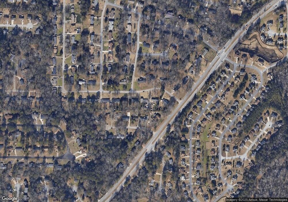
Map
Nearby Homes
- 2428 Marsh Rabbit Bend
- 2360 S Hairston Rd
- 4373 Buckingham Cir
- 4579 Tudor Castle Dr
- 4379 Cross Ln
- 4527 Dorset Dr
- 4371 Aldergate Dr
- 2432 Stratford Ct
- 2393 Winshire Dr
- 4421 John Wesley Dr
- 2087 John Wesley Ct
- 2401 Winshire Dr
- 4326 Aldergate Dr
- 4469 Wellington Terrace Unit 1
- 2468 Leslie Brook Dr
- 2065 Resting Creek Dr
- 5159 Covington Hwy
- 5169 Covington Hwy
- 4827 Snap Creek Ln
- 5181 Covington Hwy
- 4511 Buckingham Cir
- 4508 Riverwood Forest Ct
- 4500 Riverwood Forest Ct
- 4481 Buckingham Cir
- 2299 S Hairston Rd
- 4502 Buckingham Cir Unit 2
- 4521 Buckingham Cir Unit 1
- 4492 Riverwood Forest Ct
- 4510 Buckingham Cir
- 4471 Buckingham Cir
- 4482 Buckingham Cir
- 4486 Riverwood Forest Ct
- 4514 Buckingham Cir
- 2273 S Hairston Rd
- 4511 Riverwood Forest Ct
- 4480 Riverwood Forest Ct
- 2214 Dover Castle Way Unit 4
- 4503 Riverwood Forest Ct
- 2217 Dover Castle Way Unit 4
- 4461 Buckingham Cir Unit 2