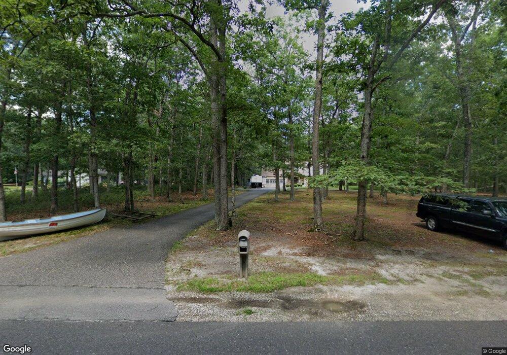
4501 Drosera St Mays Landing, NJ 08330
Estimated Value: $379,000 - $480,000
--
Bed
--
Bath
2,368
Sq Ft
$188/Sq Ft
Est. Value
About This Home
This home is located at 4501 Drosera St, Mays Landing, NJ 08330 and is currently estimated at $444,922, approximately $187 per square foot. 4501 Drosera St is a home located in Atlantic County with nearby schools including George L. Hess Educational Complex, Joseph Shaner School, and William Davies Middle School.
Ownership History
Date
Name
Owned For
Owner Type
Purchase Details
Closed on
Jan 28, 2005
Sold by
Marcum Frank
Bought by
Phillips Robert and Phillips Tabit
Current Estimated Value
Home Financials for this Owner
Home Financials are based on the most recent Mortgage that was taken out on this home.
Original Mortgage
$207,900
Outstanding Balance
$105,811
Interest Rate
5.77%
Mortgage Type
Purchase Money Mortgage
Estimated Equity
$339,111
Purchase Details
Closed on
Oct 26, 2001
Sold by
Lindsay Maryann T and Lindsay Howard W
Bought by
Marcum Frank
Home Financials for this Owner
Home Financials are based on the most recent Mortgage that was taken out on this home.
Original Mortgage
$148,000
Interest Rate
6.82%
Mortgage Type
Purchase Money Mortgage
Create a Home Valuation Report for This Property
The Home Valuation Report is an in-depth analysis detailing your home's value as well as a comparison with similar homes in the area
Home Values in the Area
Average Home Value in this Area
Purchase History
| Date | Buyer | Sale Price | Title Company |
|---|---|---|---|
| Phillips Robert | $259,900 | -- | |
| Phillips Robert | $259,900 | -- | |
| Marcum Frank | $185,000 | -- |
Source: Public Records
Mortgage History
| Date | Status | Borrower | Loan Amount |
|---|---|---|---|
| Open | Phillips Robert | $207,900 | |
| Closed | Phillips Robert | $207,900 | |
| Previous Owner | Marcum Frank | $148,000 |
Source: Public Records
Tax History Compared to Growth
Tax History
| Year | Tax Paid | Tax Assessment Tax Assessment Total Assessment is a certain percentage of the fair market value that is determined by local assessors to be the total taxable value of land and additions on the property. | Land | Improvement |
|---|---|---|---|---|
| 2025 | $8,801 | $256,500 | $41,300 | $215,200 |
| 2024 | $8,801 | $256,500 | $41,300 | $215,200 |
| 2023 | $8,275 | $256,500 | $41,300 | $215,200 |
| 2022 | $8,275 | $256,500 | $41,300 | $215,200 |
| 2021 | $8,257 | $256,500 | $41,300 | $215,200 |
| 2020 | $8,257 | $256,500 | $41,300 | $215,200 |
| 2019 | $8,277 | $256,500 | $41,300 | $215,200 |
| 2018 | $7,987 | $256,500 | $41,300 | $215,200 |
| 2017 | $7,862 | $256,500 | $41,300 | $215,200 |
| 2016 | $7,641 | $256,500 | $41,300 | $215,200 |
| 2015 | $7,382 | $256,500 | $41,300 | $215,200 |
| 2014 | $7,132 | $271,500 | $46,900 | $224,600 |
Source: Public Records
Map
Nearby Homes
- 0 Drosera Ave
- 535 Country Club Dr
- 701 W Pine St
- 00 Aloe St
- 304 S Edwards Ave
- 507 Robin Ln
- 345 S Cologne Ave
- 909 W White Horse Pike
- 919-923 -923 W White Horse Pike
- 919-923 W White Horse Pike
- 2614 Cologne Ave
- 2425 Lahn Ln
- 2580 Wrangleboro Rd
- 280 W Turner Ave Unit T280
- 294 W White Horse Pike
- 519 S English Creek Rd
- 724 W Duerer St
- 270 W Todd Ave
- 331 S Vienna Ave
- 327 S Vienna Ave
- 4515 Drosera Ave
- 4520 Drosera Ave
- 4529 Drosera Ave
- 4540 Drosera Ave
- 672 Country Club Dr
- 674 Country Club Dr
- 670 Country Club Dr
- 00 Drosera
- 668 Country Club Dr
- 676 Country Club Dr
- 666 Country Club Dr
- 4560 Drosera Ave
- 678 Country Club Dr
- 664 Country Club Dr
- 680 Country Club Dr
- 680 Country Club Dr
- 662 Country Club Dr
- 662 Country Club Dr
- 682 Country Club Dr
- 660 Country Club Dr