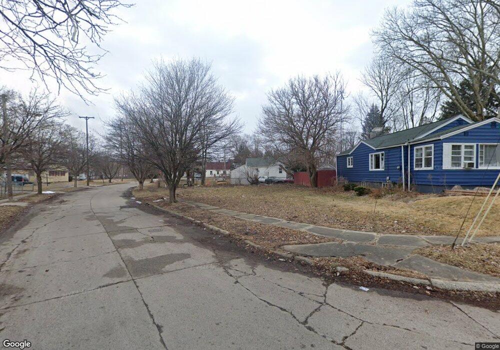
4501 Keats St Flint, MI 48507
Circle Drive NeighborhoodEstimated Value: $51,275 - $207,000
4
Beds
1
Bath
948
Sq Ft
$119/Sq Ft
Est. Value
About This Home
This home is located at 4501 Keats St, Flint, MI 48507 and is currently estimated at $112,569, approximately $118 per square foot. 4501 Keats St is a home located in Genesee County with nearby schools including Freeman Elementary School, Flint Southwestern Classical Academy, and International Academy of Flint (K-12).
Ownership History
Date
Name
Owned For
Owner Type
Purchase Details
Closed on
Jun 17, 2021
Sold by
Genesee County Land Bank Authority
Bought by
Daniels Andrea
Current Estimated Value
Purchase Details
Closed on
Dec 17, 2015
Sold by
Genesee County
Bought by
Genesee County Land Bank
Purchase Details
Closed on
Aug 12, 2011
Sold by
Smith Scott
Bought by
Scott A Smith & Kelly A Smith Revocable
Purchase Details
Closed on
Oct 12, 2010
Sold by
Genesee County Treasurer
Bought by
Smith Scott
Purchase Details
Closed on
Jul 9, 2001
Sold by
Shoops George and Shoops Tonya
Bought by
Lester Krista Miri
Create a Home Valuation Report for This Property
The Home Valuation Report is an in-depth analysis detailing your home's value as well as a comparison with similar homes in the area
Home Values in the Area
Average Home Value in this Area
Purchase History
| Date | Buyer | Sale Price | Title Company |
|---|---|---|---|
| Daniels Andrea | -- | None Available | |
| Genesee County Land Bank | -- | None Available | |
| Scott A Smith & Kelly A Smith Revocable | -- | None Available | |
| Smith Scott | $2,800 | None Available | |
| Lester Krista Miri | $20,000 | Guaranty Title Company |
Source: Public Records
Tax History Compared to Growth
Tax History
| Year | Tax Paid | Tax Assessment Tax Assessment Total Assessment is a certain percentage of the fair market value that is determined by local assessors to be the total taxable value of land and additions on the property. | Land | Improvement |
|---|---|---|---|---|
| 2025 | $227 | $3,800 | $0 | $0 |
| 2024 | $211 | $3,500 | $0 | $0 |
| 2023 | $215 | $2,200 | $0 | $0 |
| 2022 | $0 | $2,200 | $0 | $0 |
| 2021 | $0 | $0 | $0 | $0 |
| 2020 | $0 | $0 | $0 | $0 |
| 2019 | $221 | $0 | $0 | $0 |
| 2018 | $221 | $0 | $0 | $0 |
| 2017 | $221 | $0 | $0 | $0 |
| 2016 | $221 | $0 | $0 | $0 |
| 2015 | -- | $0 | $0 | $0 |
| 2014 | -- | $0 | $0 | $0 |
| 2012 | -- | $8,000 | $0 | $0 |
Source: Public Records
Map
Nearby Homes
- 4205 Red Arrow Rd
- 4127 Custer Ave
- 326 Burroughs Ave
- 454 E Atherton Rd
- 4010 Milton Dr
- 621 Burroughs Ave
- 630 Buckingham Ave
- 810 Macdonald Ave
- 1453 Carman St
- 3614 Comanche Ave
- 1393 Carman St
- 3512 Barcey Ct
- 0 Allen St Unit 50168596
- 4310 Cheyenne Ave
- 4424 Cheyenne Ave
- 3902 Cuthbertson St
- 1324 Allen St
- 1325 Norton St
- 115 E Livingston Dr
- 3505 Comanche Ave