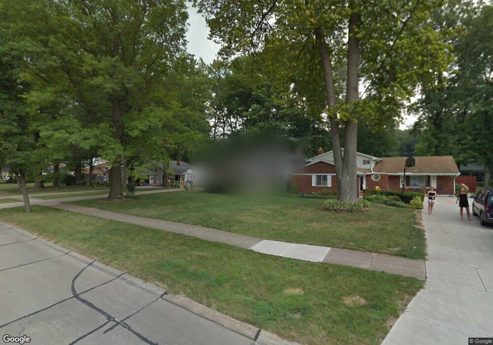
4501 Michael Ave North Olmsted, OH 44070
Estimated Value: $327,000 - $364,000
3
Beds
3
Baths
2,400
Sq Ft
$144/Sq Ft
Est. Value
About This Home
This home is located at 4501 Michael Ave, North Olmsted, OH 44070 and is currently estimated at $344,675, approximately $143 per square foot. 4501 Michael Ave is a home located in Cuyahoga County with nearby schools including Maple Intermediate Elementary School, Pine Intermediate School, and North Olmsted Middle School.
Ownership History
Date
Name
Owned For
Owner Type
Purchase Details
Closed on
Aug 10, 2006
Sold by
Petricevic Mark and Petricevic Judith
Bought by
Baylon Kevin M and Baylon Rosemarie
Current Estimated Value
Home Financials for this Owner
Home Financials are based on the most recent Mortgage that was taken out on this home.
Original Mortgage
$19,300
Interest Rate
6.44%
Mortgage Type
Stand Alone Second
Purchase Details
Closed on
Jun 30, 1989
Sold by
Kennedy Allen J
Bought by
Petricevic Mark
Purchase Details
Closed on
Mar 27, 1985
Sold by
Kennedy Allen J and Kennedy Dolores A
Bought by
Kennedy Allen J
Purchase Details
Closed on
Jan 1, 1975
Bought by
Kennedy Allen J and Kennedy Dolores A
Create a Home Valuation Report for This Property
The Home Valuation Report is an in-depth analysis detailing your home's value as well as a comparison with similar homes in the area
Home Values in the Area
Average Home Value in this Area
Purchase History
| Date | Buyer | Sale Price | Title Company |
|---|---|---|---|
| Baylon Kevin M | $193,000 | Chicago Title Insurance C | |
| Petricevic Mark | $123,300 | -- | |
| Kennedy Allen J | -- | -- | |
| Kennedy Allen J | -- | -- |
Source: Public Records
Mortgage History
| Date | Status | Borrower | Loan Amount |
|---|---|---|---|
| Closed | Baylon Kevin M | $19,300 | |
| Open | Baylon Kevin M | $154,400 |
Source: Public Records
Tax History Compared to Growth
Tax History
| Year | Tax Paid | Tax Assessment Tax Assessment Total Assessment is a certain percentage of the fair market value that is determined by local assessors to be the total taxable value of land and additions on the property. | Land | Improvement |
|---|---|---|---|---|
| 2024 | $7,297 | $106,470 | $17,815 | $88,655 |
| 2023 | $6,758 | $82,750 | $16,490 | $66,260 |
| 2022 | $6,723 | $82,740 | $16,490 | $66,260 |
| 2021 | $6,084 | $82,740 | $16,490 | $66,260 |
| 2020 | $5,585 | $67,270 | $13,410 | $53,870 |
| 2019 | $5,435 | $192,200 | $38,300 | $153,900 |
| 2018 | $5,512 | $67,270 | $13,410 | $53,870 |
| 2017 | $5,264 | $59,150 | $10,990 | $48,160 |
| 2016 | $5,218 | $59,150 | $10,990 | $48,160 |
| 2015 | $7,533 | $59,150 | $10,990 | $48,160 |
| 2014 | $7,533 | $58,000 | $10,780 | $47,220 |
Source: Public Records
Map
Nearby Homes
- 4590 Brendan Ln
- 4505 Oak Cir
- 4666 Brendan Cir
- 4849 Grace Rd Unit 121
- 22895 Mastick Rd
- 22934 Mastick Rd Unit 102
- 0 Mastick Rd Unit 5112571
- 22534 Bard Ave
- 4187 Columbia Rd Unit 126
- 22247 Mastick Rd
- 22503 Sandy Ln
- 24326 Mastick Rd
- 0 V L Clareshire Dr
- 22506 Sharon Ln
- 23993 Fairlawn Dr
- 24300 Mastick Rd
- 4514 Orchard Rd
- 3463 Clague Rd
- 5951 Rockport Ln
- 5308 Columbia Rd
- 4513 Michael Ave
- 4489 Michael Ave
- 4525 Michael Ave
- 4477 Michael Ave
- 4534 Brendan Ln
- 4506 Brendan Ln
- 4465 Michael Ave
- 4537 Michael Ave
- 4548 Brendan Ln
- 4492 Brendan Ln
- 4502 Michael Ave
- 4562 Brendan Ln
- 4490 Michael Ave
- 4514 Michael Ave
- 4478 Brendan Ln
- 4453 Michael Ave
- 4549 Michael Ave
- 4478 Michael Ave
- 4526 Michael Ave
- 4576 Brendan Ln