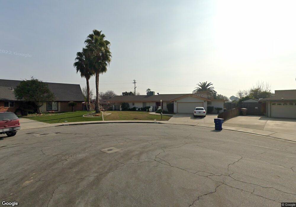
4501 Perris Way Bakersfield, CA 93309
Park Stockdale NeighborhoodEstimated Value: $341,000 - $406,000
4
Beds
2
Baths
1,994
Sq Ft
$190/Sq Ft
Est. Value
About This Home
This home is located at 4501 Perris Way, Bakersfield, CA 93309 and is currently estimated at $378,644, approximately $189 per square foot. 4501 Perris Way is a home located in Kern County with nearby schools including Caroline Harris Elementary School, Curran Middle School, and Bakersfield High School.
Ownership History
Date
Name
Owned For
Owner Type
Purchase Details
Closed on
Sep 1, 2009
Sold by
Us Bank National Association
Bought by
Grissom Roger and Grissom Mercedes
Current Estimated Value
Home Financials for this Owner
Home Financials are based on the most recent Mortgage that was taken out on this home.
Original Mortgage
$102,600
Outstanding Balance
$66,724
Interest Rate
5.08%
Mortgage Type
New Conventional
Estimated Equity
$311,920
Purchase Details
Closed on
Sep 26, 2008
Sold by
Cox Gary
Bought by
U S Bank Na
Purchase Details
Closed on
Jun 16, 2006
Sold by
Cox Carrie L
Bought by
Cox Gary
Home Financials for this Owner
Home Financials are based on the most recent Mortgage that was taken out on this home.
Original Mortgage
$310,500
Interest Rate
7.82%
Mortgage Type
Purchase Money Mortgage
Purchase Details
Closed on
Aug 12, 2003
Sold by
Cox Carrie L
Bought by
Cox Gary and Cox Carrie L
Home Financials for this Owner
Home Financials are based on the most recent Mortgage that was taken out on this home.
Original Mortgage
$138,750
Interest Rate
5.87%
Mortgage Type
Purchase Money Mortgage
Purchase Details
Closed on
Feb 20, 1998
Sold by
Cox Gary
Bought by
Cox Carrie L
Home Financials for this Owner
Home Financials are based on the most recent Mortgage that was taken out on this home.
Original Mortgage
$111,299
Interest Rate
6.9%
Mortgage Type
FHA
Purchase Details
Closed on
Feb 6, 1998
Sold by
Willis Timothy A
Bought by
Cox Carrie L
Home Financials for this Owner
Home Financials are based on the most recent Mortgage that was taken out on this home.
Original Mortgage
$111,299
Interest Rate
6.9%
Mortgage Type
FHA
Purchase Details
Closed on
Jul 3, 1995
Sold by
Willis Deborah C
Bought by
Willis Timothy A
Purchase Details
Closed on
Jan 19, 1994
Sold by
Munis Robert L and Munis Velma J
Bought by
Willis Timothy A and Willis Deborah C
Home Financials for this Owner
Home Financials are based on the most recent Mortgage that was taken out on this home.
Original Mortgage
$135,146
Interest Rate
6.98%
Mortgage Type
FHA
Create a Home Valuation Report for This Property
The Home Valuation Report is an in-depth analysis detailing your home's value as well as a comparison with similar homes in the area
Home Values in the Area
Average Home Value in this Area
Purchase History
| Date | Buyer | Sale Price | Title Company |
|---|---|---|---|
| Grissom Roger | $133,000 | Lsi Title Company Ca | |
| U S Bank Na | $150,438 | Accommodation | |
| Cox Gary | -- | Ticor Title Company Of Ca | |
| Cox Gary | -- | Stewart Title | |
| Cox Carrie L | -- | Fidelity National Title Co | |
| Cox Carrie L | $112,000 | Fidelity National Title Co | |
| Willis Timothy A | -- | -- | |
| Willis Timothy A | $136,000 | Commonwealth Land Title Ins |
Source: Public Records
Mortgage History
| Date | Status | Borrower | Loan Amount |
|---|---|---|---|
| Open | Grissom Roger | $102,600 | |
| Previous Owner | Cox Gary | $310,500 | |
| Previous Owner | Cox Gary | $138,750 | |
| Previous Owner | Cox Carrie L | $111,299 | |
| Previous Owner | Willis Timothy A | $135,146 |
Source: Public Records
Tax History
| Year | Tax Paid | Tax Assessment Tax Assessment Total Assessment is a certain percentage of the fair market value that is determined by local assessors to be the total taxable value of land and additions on the property. | Land | Improvement |
|---|---|---|---|---|
| 2025 | $2,605 | $171,663 | $45,171 | $126,492 |
| 2024 | $2,547 | $168,298 | $44,286 | $124,012 |
| 2023 | $2,547 | $164,999 | $43,418 | $121,581 |
| 2022 | $2,483 | $161,765 | $42,567 | $119,198 |
| 2021 | $2,373 | $158,594 | $41,733 | $116,861 |
| 2020 | $2,335 | $156,969 | $41,306 | $115,663 |
| 2019 | $2,288 | $156,969 | $41,306 | $115,663 |
| 2018 | $2,234 | $150,876 | $39,703 | $111,173 |
| 2017 | $2,220 | $147,919 | $38,925 | $108,994 |
| 2016 | $2,039 | $145,019 | $38,162 | $106,857 |
| 2015 | $2,025 | $142,841 | $37,589 | $105,252 |
| 2014 | $1,959 | $140,044 | $36,853 | $103,191 |
Source: Public Records
Map
Nearby Homes
- 5101 Dunsmuir Rd Unit 13
- 207 N Stine Rd
- 9 Dunlap St
- 5400 Dunsmuir Rd Unit 23
- 3800 Stockdale Hwy Unit 2
- 4425 Charter Oaks Ave
- 4600 Randy Ave
- 360 Garnsey Ave
- 402 Westwood St
- 305 Jones St
- 905 Charter Oaks Ct
- 4714 Frazier Ave
- 4412 Joanne Ave
- 4201 Charter Oaks Ave
- 513 Prosser Ave
- 4212 Charter Oaks Ave
- 619 Palo Verde St
- 340 Western Dr
- 5500 Lennox Ave Unit 36
- 4629 Fishering Dr
- 4509 Perris Way
- 4604 Stanton Way
- 153 N McDonald Way
- 149 N McDonald Way
- 4600 Stanton Way
- 4513 Perris Way
- 161 N McDonald Way
- 4504 Perris Way
- 4608 Stanton Way
- 4508 Perris Way
- 145 N McDonald Way
- 165 N McDonald Way
- 4601 Perris Way
- 4512 Perris Way
- 141 N McDonald Way
- 144 N McDonald Way
- 4601 Stanton Way
- 4610 Stanton Way
- 148 N McDonald Way
- 148 McDonald Way
Your Personal Tour Guide
Ask me questions while you tour the home.