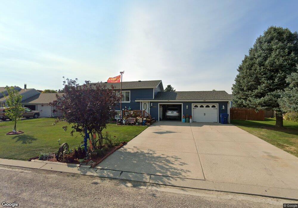
4502 Birch Ave Scottsbluff, NE 69361
Estimated Value: $224,000 - $283,000
2
Beds
2
Baths
912
Sq Ft
$268/Sq Ft
Est. Value
About This Home
This home is located at 4502 Birch Ave, Scottsbluff, NE 69361 and is currently estimated at $244,195, approximately $267 per square foot. 4502 Birch Ave is a home located in Scotts Bluff County with nearby schools including Lincoln Heights Elementary School, Bluffs Middle School, and Scottsbluff Senior High School.
Ownership History
Date
Name
Owned For
Owner Type
Purchase Details
Closed on
Apr 21, 2005
Sold by
Ahlers Ronald C and Ahlers Anita
Bought by
Garcia Ralph M and Garcia Donna J
Current Estimated Value
Home Financials for this Owner
Home Financials are based on the most recent Mortgage that was taken out on this home.
Original Mortgage
$50,000
Outstanding Balance
$25,648
Interest Rate
5.89%
Mortgage Type
New Conventional
Estimated Equity
$218,547
Create a Home Valuation Report for This Property
The Home Valuation Report is an in-depth analysis detailing your home's value as well as a comparison with similar homes in the area
Home Values in the Area
Average Home Value in this Area
Purchase History
| Date | Buyer | Sale Price | Title Company |
|---|---|---|---|
| Garcia Ralph M | $118,000 | -- |
Source: Public Records
Mortgage History
| Date | Status | Borrower | Loan Amount |
|---|---|---|---|
| Open | Garcia Ralph M | $50,000 |
Source: Public Records
Tax History Compared to Growth
Tax History
| Year | Tax Paid | Tax Assessment Tax Assessment Total Assessment is a certain percentage of the fair market value that is determined by local assessors to be the total taxable value of land and additions on the property. | Land | Improvement |
|---|---|---|---|---|
| 2025 | $2,485 | $233,020 | $20,500 | $212,520 |
| 2024 | $2,540 | $233,020 | $20,500 | $212,520 |
| 2023 | $3,420 | $184,935 | $16,268 | $168,667 |
| 2022 | $3,420 | $184,935 | $16,268 | $168,667 |
| 2021 | $3,383 | $180,022 | $16,268 | $163,754 |
| 2020 | $3,150 | $166,501 | $16,268 | $150,233 |
| 2019 | $3,137 | $166,033 | $15,800 | $150,233 |
| 2018 | $2,898 | $152,375 | $15,800 | $136,575 |
| 2017 | $2,909 | $152,375 | $15,800 | $136,575 |
| 2016 | $2,912 | $152,375 | $15,800 | $136,575 |
| 2015 | $2,889 | $152,375 | $15,800 | $136,575 |
| 2014 | $2,684 | $152,375 | $15,800 | $136,575 |
| 2012 | -- | $148,397 | $15,800 | $132,597 |
Source: Public Records
Map
Nearby Homes
- 4318 Shady Ln
- 2517 Country Ln
- 4301 Shady Ln
- 2817 W 42nd St
- 2317 Kingsgate Rd
- 1126 Peacock Dr
- 597 Sagebrush Dr
- TBD W 36th St
- 0 W 36th St Unit 20254154
- 501 W 38th St
- 1010 W 29th St
- 1011 W 27th St
- 10 Stoney Creek Dr
- 409 Sandra Ct
- 3021 Avenue E
- 2809 Avenue D
- 3415 Ross Ave
- Lot 1 31st St
- Lot 2 31st St
- TBD U S Highway 26
- 4412 Birch Ave
- 4510 Birch Ave
- 4509 Birch Ave
- 4501 Birch Ave
- 4409 Birch Ave
- 4518 Birch Ave
- 4402 Birch Ave
- 4501 Cottonwood Ave
- 4401 Birch Ave
- 4517 Birch Ave
- 4411 Cottonwood Ave
- 4517 Cottonwood Ave
- 4502 Apple Ave
- 4410 Apple Ave
- 4401 Cottonwood Ave
- 4502 Cottonwood Ave
- 4412 Cottonwood Ave
- 4510 Cottonwood Ave
- 4518 Apple Ave
- 4509 Cottonwood Ave