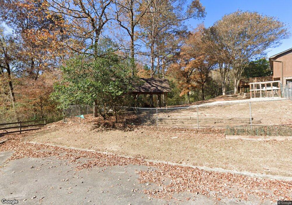
4502 Brookforest Ln Birmingham, AL 35210
Estimated Value: $608,000 - $936,000
--
Bed
--
Bath
--
Sq Ft
1.4
Acres
About This Home
This home is located at 4502 Brookforest Ln, Birmingham, AL 35210 and is currently estimated at $772,000. 4502 Brookforest Ln is a home located in Jefferson County with nearby schools including Grantswood Community Elementary School, Shades Valley High School, and Highlands School.
Ownership History
Date
Name
Owned For
Owner Type
Purchase Details
Closed on
Aug 3, 2005
Sold by
Lewis Debra Taylor
Bought by
Raulston Jonathan and Raulston Cynthia
Current Estimated Value
Home Financials for this Owner
Home Financials are based on the most recent Mortgage that was taken out on this home.
Original Mortgage
$440,000
Outstanding Balance
$231,337
Interest Rate
5.48%
Mortgage Type
Fannie Mae Freddie Mac
Estimated Equity
$540,663
Purchase Details
Closed on
Sep 11, 2001
Sold by
Lewis Stuart R
Bought by
Entracom Corp
Create a Home Valuation Report for This Property
The Home Valuation Report is an in-depth analysis detailing your home's value as well as a comparison with similar homes in the area
Home Values in the Area
Average Home Value in this Area
Purchase History
| Date | Buyer | Sale Price | Title Company |
|---|---|---|---|
| Raulston Jonathan | $565,000 | None Available | |
| Entracom Corp | -- | Alabama Title Co Inc |
Source: Public Records
Mortgage History
| Date | Status | Borrower | Loan Amount |
|---|---|---|---|
| Open | Raulston Jonathan | $440,000 |
Source: Public Records
Tax History Compared to Growth
Tax History
| Year | Tax Paid | Tax Assessment Tax Assessment Total Assessment is a certain percentage of the fair market value that is determined by local assessors to be the total taxable value of land and additions on the property. | Land | Improvement |
|---|---|---|---|---|
| 2024 | $133 | $2,660 | $2,660 | -- |
| 2022 | $133 | $5,320 | $5,320 | $0 |
| 2021 | $133 | $5,320 | $5,320 | $0 |
| 2020 | $133 | $5,320 | $5,320 | $0 |
| 2019 | $133 | $2,660 | $0 | $0 |
| 2018 | $133 | $2,660 | $0 | $0 |
| 2017 | $133 | $2,660 | $0 | $0 |
| 2016 | $133 | $2,660 | $0 | $0 |
| 2015 | $133 | $2,660 | $0 | $0 |
| 2014 | $151 | $2,660 | $0 | $0 |
| 2013 | $151 | $2,660 | $0 | $0 |
Source: Public Records
Map
Nearby Homes
- 5531 Overton Rd
- 5620 Alexandria Dr Unit 1
- 123 Trillium Dr
- 5720 Overton Rd
- 4251 Cedar St Unit 1
- 7105 Valderrama Cir
- 5161 Clubridge Dr E
- 7410 Kings Mountain Ct Unit 102
- 7385 Ridgecrest Court Rd
- 3520 Ridgeview Dr
- The Richardson Plan at Clubridge at Liberty Park - Club Ridge at Liberty Park
- The Kayden Plan at Clubridge at Liberty Park - Club Ridge at Liberty Park
- The Jefferson Plan at Clubridge at Liberty Park - Club Ridge at Liberty Park
- 3765 Villa Dr
- 3833 Moss Creek Cir
- 5125 Club Ridge Dr W
- 455 Ravine Rd
- 7512 Kings Mountain Ridge
- 708 Wimbledon Ct
- 4362 Kings Mountain Ridge
- 4116 Brookmont Dr
- 4112 Brookmont Dr
- 5457 Overton Rd
- 4108 Brookmont Dr
- 5461 Overton Rd
- 5465 Overton Rd
- 5453 Overton Rd
- 5464 Overton Rd
- 4104 Brookmont Dr
- 4113 Brookmont Dr
- 4120 Brookmont Dr
- 5469 Overton Rd
- 5441 Overton Rd
- 4109 Brookmont Dr
- 4105 Brookmont Dr
- 4124 Brookmont Dr
- 238 Pine Knoll Dr
- 4101 Brookmont Dr
- 4121 Brookmont Dr
- 4125 Brookmont Dr