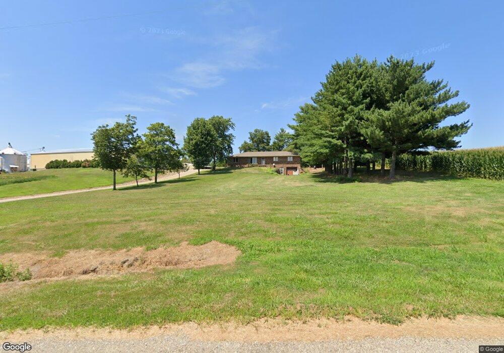
4502 Lang Rd New Harmony, IN 47631
Estimated Value: $224,000 - $651,835
3
Beds
1
Bath
1,344
Sq Ft
$315/Sq Ft
Est. Value
About This Home
This home is located at 4502 Lang Rd, New Harmony, IN 47631 and is currently estimated at $423,612, approximately $315 per square foot. 4502 Lang Rd is a home located in Posey County with nearby schools including North Posey Junior High School and North Posey Senior High School.
Ownership History
Date
Name
Owned For
Owner Type
Purchase Details
Closed on
Aug 9, 2013
Sold by
Krohn Sharon L and Schweikhard Gary D
Bought by
Axton Chad A
Current Estimated Value
Home Financials for this Owner
Home Financials are based on the most recent Mortgage that was taken out on this home.
Original Mortgage
$81,250
Outstanding Balance
$53,082
Interest Rate
4.53%
Mortgage Type
Purchase Money Mortgage
Estimated Equity
$370,530
Purchase Details
Closed on
Apr 18, 2011
Sold by
Axton Jimmie L and Axton Kathy D
Bought by
Axton Alvin A and Axton Gail D
Create a Home Valuation Report for This Property
The Home Valuation Report is an in-depth analysis detailing your home's value as well as a comparison with similar homes in the area
Home Values in the Area
Average Home Value in this Area
Purchase History
| Date | Buyer | Sale Price | Title Company |
|---|---|---|---|
| Axton Chad A | -- | None Available | |
| Axton Alvin A | -- | None Available |
Source: Public Records
Mortgage History
| Date | Status | Borrower | Loan Amount |
|---|---|---|---|
| Open | Axton Chad A | $81,250 |
Source: Public Records
Tax History Compared to Growth
Tax History
| Year | Tax Paid | Tax Assessment Tax Assessment Total Assessment is a certain percentage of the fair market value that is determined by local assessors to be the total taxable value of land and additions on the property. | Land | Improvement |
|---|---|---|---|---|
| 2024 | $6,139 | $461,600 | $216,300 | $245,300 |
| 2023 | $5,478 | $428,100 | $178,900 | $249,200 |
| 2022 | $5,457 | $383,300 | $145,500 | $237,800 |
| 2021 | $4,531 | $321,500 | $122,400 | $199,100 |
| 2020 | $4,749 | $323,400 | $121,300 | $202,100 |
| 2019 | $4,789 | $340,500 | $144,000 | $196,500 |
| 2018 | $4,587 | $345,800 | $149,700 | $196,100 |
| 2017 | $4,489 | $350,200 | $169,800 | $180,400 |
| 2016 | $4,405 | $359,600 | $179,000 | $180,600 |
| 2014 | $4,299 | $364,200 | $187,700 | $176,500 |
| 2013 | $4,299 | $327,600 | $160,100 | $167,500 |
Source: Public Records
Map
Nearby Homes
- 4703 Romaine Rd
- 4621 Meadow Ln
- 7346 Main St
- 5100 Haines Rd
- 5151 Valeah Dr
- 6401 High School Rd
- 2000 Stierley Rd N
- 8651 Old Blairsville Rd
- 2211 Stierley Rd N
- 9207 Shore Line Dr
- 9301 Damm Rd
- 2812 Oliver Springfield Rd
- 9830 Winery Rd
- 97 Kraft Ln
- 7 W Oak St
- 21 N Walker St
- 2829 Springfield Rd
- 136 N Sharp St Unit 30 E 3rd included
- 6800 Frontage Rd
- 1202 Freeman Ln