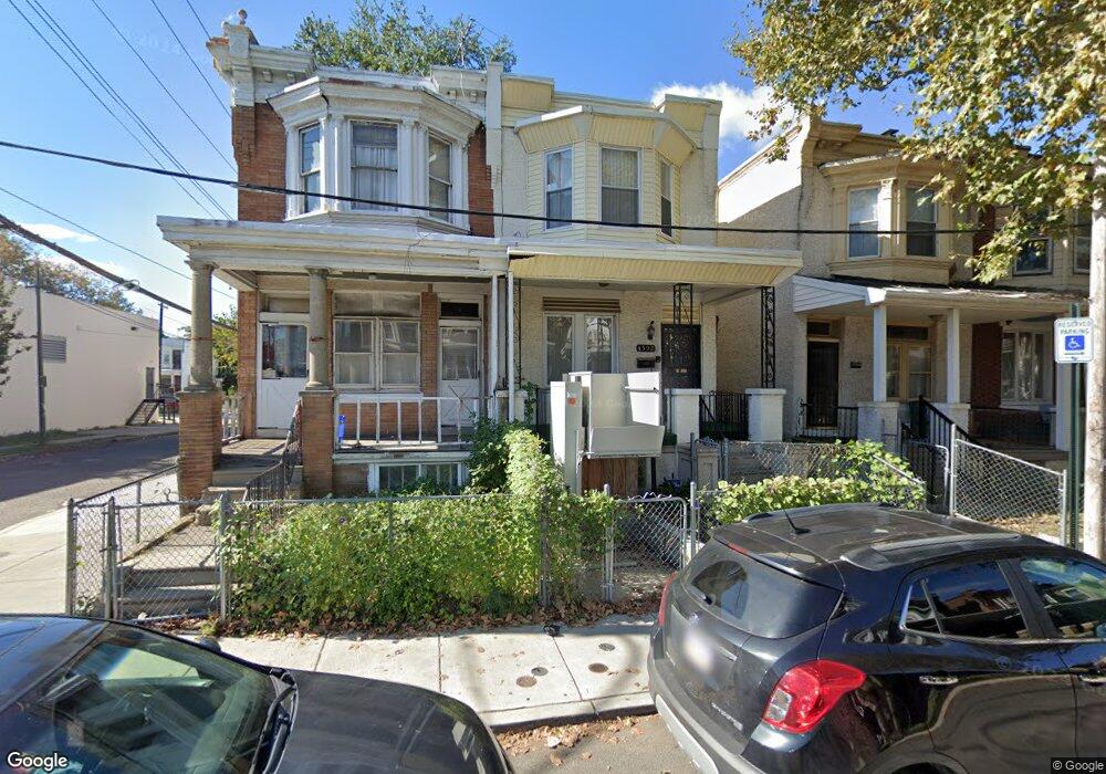
4502 N Carlisle St Philadelphia, PA 19140
Logan NeighborhoodEstimated Value: $113,000 - $253,000
--
Bed
--
Bath
1,440
Sq Ft
$111/Sq Ft
Est. Value
About This Home
This home is located at 4502 N Carlisle St, Philadelphia, PA 19140 and is currently estimated at $159,979, approximately $111 per square foot. 4502 N Carlisle St is a home located in Philadelphia County with nearby schools including Edward T. Steel School, Mastery Prep Elementary Charter School, and Mastery Schools Gratz (Prep) Middle.
Ownership History
Date
Name
Owned For
Owner Type
Purchase Details
Closed on
May 23, 2024
Sold by
Jefferson Carol Maxine
Bought by
L-N-M Management Llc
Current Estimated Value
Home Financials for this Owner
Home Financials are based on the most recent Mortgage that was taken out on this home.
Original Mortgage
$156,310
Interest Rate
6.88%
Mortgage Type
Construction
Purchase Details
Closed on
Aug 8, 1972
Bought by
Delano Delano L and Delano Carol M
Create a Home Valuation Report for This Property
The Home Valuation Report is an in-depth analysis detailing your home's value as well as a comparison with similar homes in the area
Home Values in the Area
Average Home Value in this Area
Purchase History
| Date | Buyer | Sale Price | Title Company |
|---|---|---|---|
| L-N-M Management Llc | $110,000 | None Listed On Document | |
| Delano Delano L | -- | -- |
Source: Public Records
Mortgage History
| Date | Status | Borrower | Loan Amount |
|---|---|---|---|
| Closed | L-N-M Management Llc | $156,310 |
Source: Public Records
Tax History Compared to Growth
Tax History
| Year | Tax Paid | Tax Assessment Tax Assessment Total Assessment is a certain percentage of the fair market value that is determined by local assessors to be the total taxable value of land and additions on the property. | Land | Improvement |
|---|---|---|---|---|
| 2025 | $1,198 | $128,100 | $25,620 | $102,480 |
| 2024 | $1,198 | $128,100 | $25,620 | $102,480 |
| 2023 | $1,198 | $85,600 | $17,120 | $68,480 |
| 2022 | $1,069 | $85,600 | $17,120 | $68,480 |
| 2021 | $1,069 | $0 | $0 | $0 |
| 2020 | $697 | $0 | $0 | $0 |
| 2019 | $697 | $0 | $0 | $0 |
| 2018 | $767 | $0 | $0 | $0 |
| 2017 | $1,117 | $0 | $0 | $0 |
| 2016 | $697 | $0 | $0 | $0 |
| 2015 | $667 | $0 | $0 | $0 |
| 2014 | -- | $79,800 | $7,995 | $71,805 |
| 2012 | -- | $7,360 | $1,418 | $5,942 |
Source: Public Records
Map
Nearby Homes
- 1511 W Wingohocking St
- 1512 W Wingohocking St
- 4549 N Mole St
- 4544 N Broad St
- 4554 N Mole St
- 1714 20 Blavis St
- 1433 W Cayuga St
- 4419 N Broad St
- 4532 N 16th St
- 1325 W Roosevelt Blvd
- 4526 Old York Rd
- 1315 W Roosevelt Blvd
- 4517 Old York Rd
- 4525 Old York Rd
- 4533 N 17th St
- 4326 N 15th St
- 4548 N 17th St
- 4507 N Colorado St
- 1431 W Bristol St
- 4516 N Colorado St
- 4500 N Carlisle St
- 4504 N Carlisle St
- 4506 N Carlisle St
- 4508 N Carlisle St
- 4510 N Carlisle St
- 4503 N 15th St
- 4505 N 15th St
- 4507 N 15th St
- 4512 N Carlisle St
- 4511 N 15th St
- 4509 N 15th St
- 4514 N Carlisle St
- 4515 N 15th St
- 4503 N Carlisle St
- 4505 N Carlisle St
- 4501 N Carlisle St
- 4507 N Carlisle St
- 4517 N 15th St
- 4516 N Carlisle St
- 4509 N Carlisle St