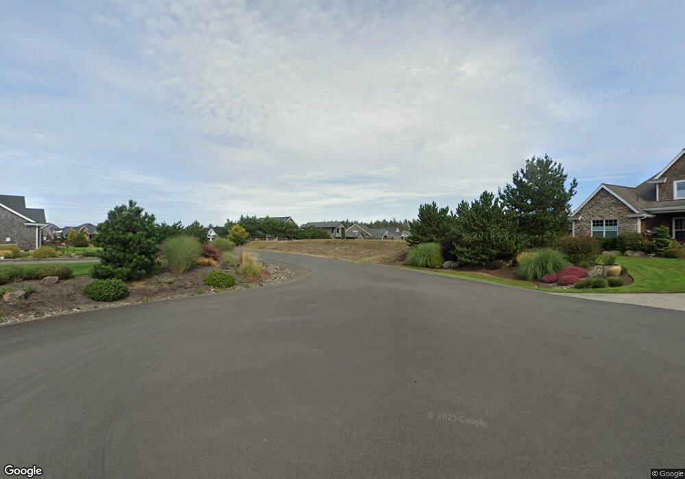
4502 Sheridan Ct Seaside, OR 97138
Estimated Value: $1,314,000 - $1,540,000
3
Beds
4
Baths
3,471
Sq Ft
$399/Sq Ft
Est. Value
About This Home
This home is located at 4502 Sheridan Ct, Seaside, OR 97138 and is currently estimated at $1,386,602, approximately $399 per square foot. 4502 Sheridan Ct is a home located in Clatsop County with nearby schools including Seaside High School.
Ownership History
Date
Name
Owned For
Owner Type
Purchase Details
Closed on
Jun 14, 2012
Sold by
Columbia Community Bank
Bought by
Makinster Lee H and Makinster Cindy M
Current Estimated Value
Purchase Details
Closed on
Sep 21, 2011
Sold by
Maltman Brian M
Bought by
Columbia Community Bank
Purchase Details
Closed on
May 9, 2008
Sold by
Reserve At Gearhart Llc
Bought by
Maltman Brian M and Maltman Jamie R
Home Financials for this Owner
Home Financials are based on the most recent Mortgage that was taken out on this home.
Original Mortgage
$816,000
Interest Rate
5.88%
Mortgage Type
Construction
Create a Home Valuation Report for This Property
The Home Valuation Report is an in-depth analysis detailing your home's value as well as a comparison with similar homes in the area
Home Values in the Area
Average Home Value in this Area
Purchase History
| Date | Buyer | Sale Price | Title Company |
|---|---|---|---|
| Makinster Lee H | $550,000 | Ticor Title Ins Co | |
| Columbia Community Bank | -- | None Available | |
| Maltman Brian M | $374,827 | Ticor Title Insurance Co |
Source: Public Records
Mortgage History
| Date | Status | Borrower | Loan Amount |
|---|---|---|---|
| Previous Owner | Maltman Brian M | $816,000 |
Source: Public Records
Tax History Compared to Growth
Tax History
| Year | Tax Paid | Tax Assessment Tax Assessment Total Assessment is a certain percentage of the fair market value that is determined by local assessors to be the total taxable value of land and additions on the property. | Land | Improvement |
|---|---|---|---|---|
| 2025 | $6,710 | $614,296 | -- | -- |
| 2024 | $6,821 | $596,405 | -- | -- |
| 2023 | $6,630 | $579,035 | $0 | $0 |
| 2022 | $6,431 | $562,171 | $0 | $0 |
| 2021 | $6,565 | $545,798 | $0 | $0 |
| 2020 | $6,333 | $529,902 | $0 | $0 |
| 2019 | $6,170 | $514,469 | $0 | $0 |
| 2018 | $5,947 | $499,486 | $0 | $0 |
| 2017 | $5,789 | $484,939 | $0 | $0 |
| 2016 | $5,001 | $470,815 | $229,042 | $241,773 |
| 2015 | $4,836 | $457,103 | $222,371 | $234,732 |
| 2014 | $4,597 | $443,791 | $0 | $0 |
| 2013 | -- | $430,866 | $0 | $0 |
Source: Public Records
Map
Nearby Homes
- 1939 Gearhart Green Dr Unit 601
- 1939 Club House Condo Dr
- 4586 Drummond Ct
- 2499 Pine Ridge Dr
- 645 Meadow Ln
- 1398 N Ocean Ave
- 1400 N Ocean Ave
- 5298 Sheridan Dr
- 2998 Pine Ct
- 5270 High Ridge Rd
- 1146 N Marion Ave Unit 1-606
- 101 13th St Unit 209
- 856 Neacoxie Blvd
- 856 Neacoxie Blvd Unit 311
- 88708 Surfsands Rd
- 1054 Picture Place
- 1065 Picture Place
- 1396 N Ocean Ave
- 88787 Blue Heron Rd
- 88902 Pinehurst Rd
- 939 Club House Condo
- 939 Club House Condo Unit 939
- 2077 Gearhart Green Dr Unit 924
- 2077 Gearhart Greens Dr Unit 924
- 2077 Gearhart Green Dr Unit 925
- 2077 Gearhart Greens Dr Unit 938
- 2077 Gearhart Green Dr Unit 925
- 901 Club House Condo
- 4532 Sheridan Ct
- 4532 Sheridan Dr
- 922 Club House Condo
- 4501 Sheridan Ct
- 4501 Sheridan Ct
- 4501 Sheridan Ct
- 923 Club House Condo
- 4505 High Ridge Rd
- 4510 High Ridge Rd
- 4564 Sheridan Ct
- 4525 Sheridan Ct
- 2017 Gearhart Green Dr Unit 804