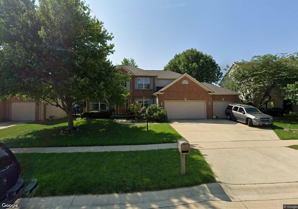
4503 Stonebridge Dr Champaign, IL 61822
Estimated Value: $436,000 - $558,000
Studio
--
Bath
--
Sq Ft
9,670
Sq Ft
About This Home
This home is located at 4503 Stonebridge Dr, Champaign, IL 61822 and is currently estimated at $502,609. 4503 Stonebridge Dr is a home located in Champaign County with nearby schools including Centennial High School, Countryside School, and Swann Special Care Center-Elem/Secondary School.
Ownership History
Date
Name
Owned For
Owner Type
Purchase Details
Closed on
Nov 15, 2004
Sold by
Neitzel Lesie T
Bought by
Lowry Dwayne P and Lowry Tammy L
Current Estimated Value
Home Financials for this Owner
Home Financials are based on the most recent Mortgage that was taken out on this home.
Original Mortgage
$217,000
Outstanding Balance
$109,227
Interest Rate
5.91%
Mortgage Type
Purchase Money Mortgage
Estimated Equity
$393,382
Create a Home Valuation Report for This Property
The Home Valuation Report is an in-depth analysis detailing your home's value as well as a comparison with similar homes in the area
Purchase History
| Date | Buyer | Sale Price | Title Company |
|---|---|---|---|
| Lowry Dwayne P | $335,500 | -- |
Source: Public Records
Mortgage History
| Date | Status | Borrower | Loan Amount |
|---|---|---|---|
| Open | Lowry Dwayne P | $217,000 |
Source: Public Records
Tax History
| Year | Tax Paid | Tax Assessment Tax Assessment Total Assessment is a certain percentage of the fair market value that is determined by local assessors to be the total taxable value of land and additions on the property. | Land | Improvement |
|---|---|---|---|---|
| 2024 | $12,267 | $152,100 | $23,710 | $128,390 |
| 2023 | $12,267 | $140,440 | $21,890 | $118,550 |
| 2022 | $11,656 | $131,010 | $20,420 | $110,590 |
| 2021 | $11,379 | $128,690 | $20,060 | $108,630 |
| 2020 | $11,273 | $127,410 | $19,860 | $107,550 |
| 2019 | $10,937 | $125,280 | $19,530 | $105,750 |
| 2018 | $10,919 | $125,280 | $19,530 | $105,750 |
| 2017 | $10,932 | $125,280 | $19,530 | $105,750 |
| 2016 | $9,897 | $123,820 | $19,530 | $104,290 |
| 2015 | $10,015 | $123,820 | $19,530 | $104,290 |
| 2014 | $9,571 | $118,040 | $19,530 | $98,510 |
| 2013 | $8,871 | $110,770 | $19,530 | $91,240 |
Source: Public Records
Map
Nearby Homes
- 4309 Stonebridge Ct
- 4406 Crossgate Dr
- 2109 Emerald Dr
- 4511 Copper Ridge Rd
- 2317 Joseph St
- 5005 Stonebridge Dr
- 2107 Max Run Dr
- 4700 Chestnut Grove Dr
- 4809 W Windsor Rd Unit B07
- 4809 W Windsor Rd Unit B06
- 4809 W Windsor Rd Unit B15
- 4809 W Windsor Rd Unit C23
- 4809 W Windsor Rd Unit D05
- 4809 W Windsor Rd Unit C12
- 4809 W Windsor Rd Unit B24
- 4809 W Windsor Rd Unit A15
- 4809 W Windsor Rd Unit F28
- 4809 W Windsor Rd Unit C02
- 4002 Lakepoint Rd
- 4203 Curtis Meadow Dr
- 4505 Stonebridge Dr
- 4501 Stonebridge Dr
- 4415 Stonebridge Dr
- 4506 Graves Ct
- 4507 Stonebridge Dr
- 2206 Mullikin Dr
- 4504 Stonebridge Dr
- 4502 Stonebridge Dr
- 2204 Mullikin Dr
- 4506 Stonebridge Dr
- 4413 Stonebridge Dr
- 2208 Mullikin Dr
- 4508 Graves Ct
- 4501 Graves Ct
- 4509 Stonebridge Dr
- 2107 Charwick Dr
- 4411 Stonebridge Dr
- 4512 Graves Ct
- 4412 Stonebridge Dr
- 4503 Graves Ct
Your Personal Tour Guide
Ask me questions while you tour the home.