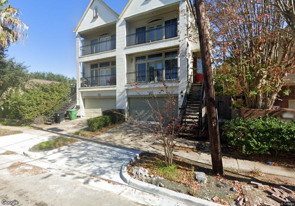
4503 Woodhead St Unit B Houston, TX 77098
Montrose NeighborhoodEstimated Value: $504,674 - $970,000
3
Beds
3
Baths
2,373
Sq Ft
$266/Sq Ft
Est. Value
About This Home
This home is located at 4503 Woodhead St Unit B, Houston, TX 77098 and is currently estimated at $631,919, approximately $266 per square foot. 4503 Woodhead St Unit B is a home located in Harris County with nearby schools including Poe Elementary School, Lanier Middle School, and Lamar High School.
Ownership History
Date
Name
Owned For
Owner Type
Purchase Details
Closed on
Oct 21, 2019
Sold by
Truong Ben and Truong Thi P
Bought by
Woodtail Llc
Current Estimated Value
Home Financials for this Owner
Home Financials are based on the most recent Mortgage that was taken out on this home.
Original Mortgage
$150,000
Outstanding Balance
$100,002
Interest Rate
3.5%
Mortgage Type
Future Advance Clause Open End Mortgage
Estimated Equity
$531,917
Purchase Details
Closed on
Aug 8, 2014
Sold by
Mykyte Dustin D
Bought by
Truong Ben and Truong Phuong Thi
Purchase Details
Closed on
Jul 6, 2007
Sold by
Wolter Malcom and Wolter Tish
Bought by
Mykyte Dustin D
Create a Home Valuation Report for This Property
The Home Valuation Report is an in-depth analysis detailing your home's value as well as a comparison with similar homes in the area
Home Values in the Area
Average Home Value in this Area
Purchase History
| Date | Buyer | Sale Price | Title Company |
|---|---|---|---|
| Woodtail Llc | -- | First American Title | |
| Truong Ben | -- | First American Title | |
| Mykyte Dustin D | -- | None Available |
Source: Public Records
Mortgage History
| Date | Status | Borrower | Loan Amount |
|---|---|---|---|
| Open | Woodtail Llc | $150,000 |
Source: Public Records
Tax History Compared to Growth
Tax History
| Year | Tax Paid | Tax Assessment Tax Assessment Total Assessment is a certain percentage of the fair market value that is determined by local assessors to be the total taxable value of land and additions on the property. | Land | Improvement |
|---|---|---|---|---|
| 2025 | $9,792 | $496,277 | $130,410 | $365,867 |
| 2024 | $9,792 | $467,986 | $130,410 | $337,576 |
| 2023 | $9,792 | $512,609 | $130,410 | $382,199 |
| 2022 | $9,830 | $446,453 | $130,410 | $316,043 |
| 2021 | $9,626 | $413,020 | $115,920 | $297,100 |
| 2020 | $10,424 | $430,475 | $115,920 | $314,555 |
| 2019 | $10,507 | $415,225 | $115,920 | $299,305 |
| 2018 | $10,575 | $417,917 | $115,920 | $301,997 |
| 2017 | $11,090 | $417,917 | $115,920 | $301,997 |
| 2016 | $10,273 | $387,142 | $115,920 | $271,222 |
| 2015 | $9,434 | $390,000 | $115,920 | $274,080 |
| 2014 | $9,434 | $367,000 | $101,430 | $265,570 |
Source: Public Records
Map
Nearby Homes
- 1655 Castle Ct
- 1658 Norfolk St
- 1656 Norfolk St
- 1652 Norfolk St
- 1637 Castle Ct
- 1741 Banks St
- 1635 Castle Ct
- 1802 Portsmouth St
- 1656 Banks St
- 1819 Banks St
- 1826 Portsmouth St
- 4509 Hazard St
- 1849 Portsmouth St
- 1624 Vassar St
- 1619 Norfolk St
- 1723 Milford St
- 1614 Norfolk St Unit C
- 1721 Colquitt St
- 1648 Richmond Ave
- 1925 Lexington St
- 4503 Woodhead St
- 4503 Woodhead St Unit A
- 4503A Woodhead St
- 4507 Woodhead St
- 4511 Woodhead St
- 1745 Norfolk St
- 1751 Norfolk St
- 1743 Norfolk St
- 1750 Lexington St
- 1750 Lexington St Unit 2
- 1750 Lexington St Unit UPSTAIR
- 1801 Norfolk St
- 1741 Norfolk St
- 1740B Lexington St
- 1740 Lexington St
- 1740 Lexington St Unit B
- 1807 Norfolk St
- 1808 Lexington St
- 1735 Norfolk St
- 1733 Norfolk St