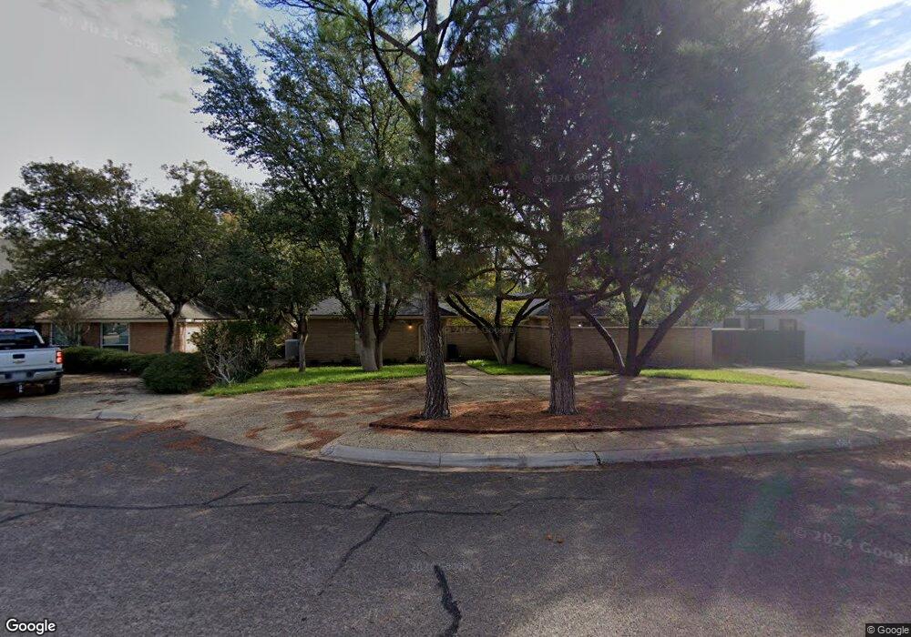
4504 Lennox Dr Midland, TX 79707
Skyline Terrace NeighborhoodEstimated Value: $387,000 - $411,000
3
Beds
3
Baths
2,307
Sq Ft
$173/Sq Ft
Est. Value
About This Home
This home is located at 4504 Lennox Dr, Midland, TX 79707 and is currently estimated at $398,297, approximately $172 per square foot. 4504 Lennox Dr is a home located in Midland County with nearby schools including Parker Elementary School, Alamo Junior High School, and Robert H. Goddard Junior High School.
Ownership History
Date
Name
Owned For
Owner Type
Purchase Details
Closed on
May 1, 2020
Sold by
Moore James B and Moore Brenda
Bought by
Moore Robert Michael and Moore Mattie Eulena
Current Estimated Value
Home Financials for this Owner
Home Financials are based on the most recent Mortgage that was taken out on this home.
Original Mortgage
$244,000
Outstanding Balance
$216,963
Interest Rate
3.6%
Mortgage Type
New Conventional
Estimated Equity
$181,334
Purchase Details
Closed on
Aug 22, 2014
Sold by
Trantham Richard and Trantham Debra
Bought by
Moore James B
Home Financials for this Owner
Home Financials are based on the most recent Mortgage that was taken out on this home.
Original Mortgage
$289,750
Interest Rate
4.19%
Mortgage Type
New Conventional
Purchase Details
Closed on
Sep 24, 2012
Sold by
Rich Cody and Rich Jessica
Bought by
Trantham Richard and Trantham Debra
Home Financials for this Owner
Home Financials are based on the most recent Mortgage that was taken out on this home.
Original Mortgage
$215,900
Interest Rate
3.66%
Mortgage Type
New Conventional
Purchase Details
Closed on
Nov 23, 2009
Sold by
Trantham Richard L and Trantham Debra K
Bought by
Rich Cody and Rich Jessica
Home Financials for this Owner
Home Financials are based on the most recent Mortgage that was taken out on this home.
Original Mortgage
$167,887
Interest Rate
4.93%
Mortgage Type
FHA
Purchase Details
Closed on
Nov 17, 2005
Sold by
Chambers John C and Chambers Sue M
Bought by
Trantham Richard L and Trantham Debra K
Home Financials for this Owner
Home Financials are based on the most recent Mortgage that was taken out on this home.
Original Mortgage
$132,000
Interest Rate
5.92%
Mortgage Type
New Conventional
Purchase Details
Closed on
May 31, 1997
Bought by
Moore James B
Purchase Details
Closed on
Mar 1, 1989
Bought by
Moore James B
Purchase Details
Closed on
Sep 1, 1983
Bought by
Moore James B
Create a Home Valuation Report for This Property
The Home Valuation Report is an in-depth analysis detailing your home's value as well as a comparison with similar homes in the area
Home Values in the Area
Average Home Value in this Area
Purchase History
| Date | Buyer | Sale Price | Title Company |
|---|---|---|---|
| Moore Robert Michael | -- | West Texas Abstract & Ttl Co | |
| Moore James B | -- | West Texas Abstract & Title | |
| Trantham Richard | -- | West Texas Abstract & Title | |
| Rich Cody | -- | None Available | |
| Trantham Richard L | -- | None Available | |
| Moore James B | -- | -- | |
| Moore James B | -- | -- | |
| Moore James B | -- | -- |
Source: Public Records
Mortgage History
| Date | Status | Borrower | Loan Amount |
|---|---|---|---|
| Open | Moore Robert Michael | $244,000 | |
| Previous Owner | Moore James B | $289,750 | |
| Previous Owner | Trantham Richard | $215,900 | |
| Previous Owner | Rich Cody | $167,887 | |
| Previous Owner | Trantham Richard L | $132,000 |
Source: Public Records
Tax History Compared to Growth
Tax History
| Year | Tax Paid | Tax Assessment Tax Assessment Total Assessment is a certain percentage of the fair market value that is determined by local assessors to be the total taxable value of land and additions on the property. | Land | Improvement |
|---|---|---|---|---|
| 2025 | $4,315 | $360,810 | $21,770 | $339,040 |
| 2024 | $4,322 | $364,377 | $21,770 | $342,607 |
| 2023 | $4,026 | $348,375 | $21,770 | $326,605 |
| 2022 | $5,443 | $348,375 | $21,770 | $326,605 |
| 2021 | $6,577 | $377,520 | $21,770 | $355,750 |
| 2020 | $6,259 | $366,830 | $21,770 | $345,060 |
| 2019 | $6,945 | $366,830 | $21,770 | $345,060 |
| 2018 | $6,802 | $349,820 | $21,770 | $328,050 |
| 2017 | $6,607 | $339,820 | $21,770 | $318,050 |
| 2016 | $6,091 | $312,690 | $21,770 | $290,920 |
| 2015 | -- | $310,310 | $21,770 | $288,540 |
| 2014 | -- | $301,980 | $0 | $0 |
Source: Public Records
Map
Nearby Homes
- 4502 Parkhurst Dr
- 4512 Norwood St
- 4000 W Loop 250 N
- 4505 Westminister Dr
- 3907 Westminister Dr
- 4500 Westminister Dr
- 4002 Crestwood Ave
- 4700 Boulder Dr Unit 710
- 4700 Boulder Dr Unit 611
- 4700 Boulder Dr Unit 103
- 4700 Boulder Dr Unit 303
- 4700 Boulder Dr Unit 1112
- 4700 Boulder Dr Unit 1504
- 4700 Boulder Dr Unit 1605
- 4700 Boulder Dr
- 4700 Boulder Dr Unit 1303
- 4700 Boulder Dr Unit 1601
- 4700 Boulder Dr Unit 902
- 4700 Boulder Dr Unit 1008
- 4003 Compton Dr
- 4502 Lennox Dr
- 4506 Lennox Dr
- 4505 Stillmeadow Dr
- 4503 Stillmeadow Dr
- 4507 Stillmeadow Dr
- 4500 Lennox Dr
- 4505 Lennox Dr
- 4507 Lennox Dr
- 4503 Lennox Dr
- 4501 Stillmeadow Dr
- 4501 Lennox Dr
- 4504 Stillmeadow Dr
- 4406 Lennox Dr
- 4504 Parkhurst Dr
- 4502 Stillmeadow Dr
- 4506 Stillmeadow Dr
- 4405 Stillmeadow Dr
- 4500 Stillmeadow Dr
- 4500 Parkhurst Dr
- 4405 Lennox Dr