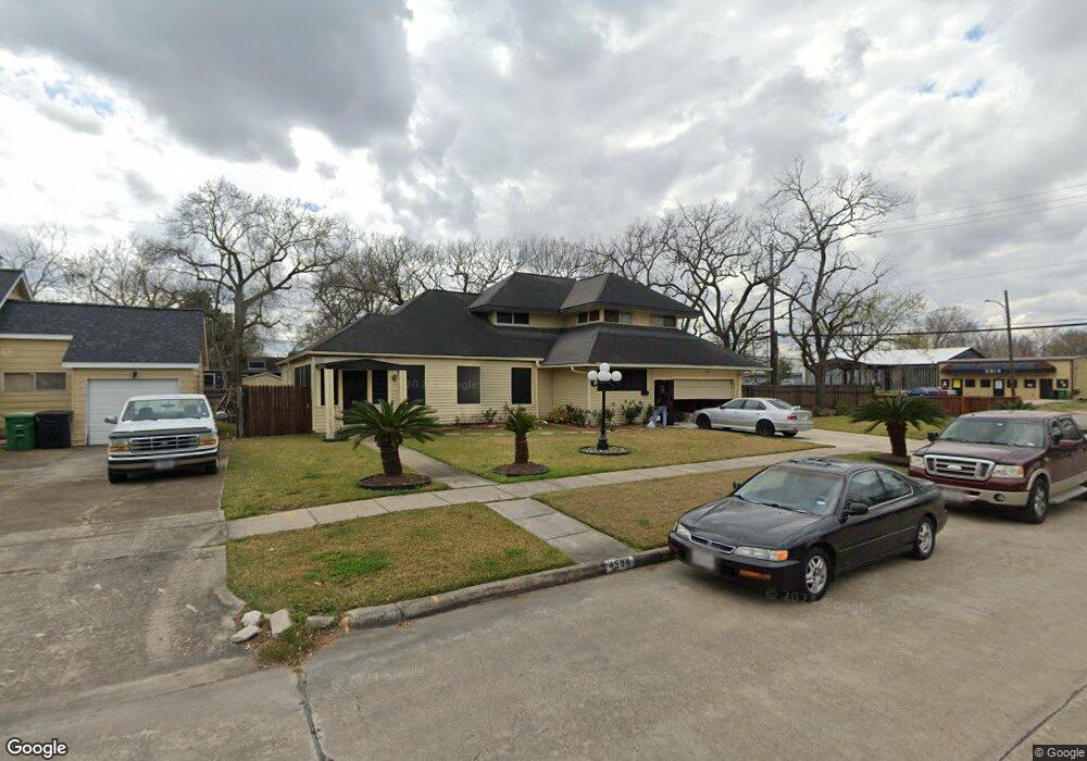
4504 Normandy Way Houston, TX 77021
OST-South Union NeighborhoodEstimated Value: $370,000 - $479,000
4
Beds
2
Baths
3,156
Sq Ft
$134/Sq Ft
Est. Value
About This Home
This home is located at 4504 Normandy Way, Houston, TX 77021 and is currently estimated at $424,117, approximately $134 per square foot. 4504 Normandy Way is a home located in Harris County with nearby schools including Peck Elementary School, Cullen Middle School, and Yates High School.
Ownership History
Date
Name
Owned For
Owner Type
Purchase Details
Closed on
Jun 6, 2022
Sold by
Ellis Heath
Bought by
Crump Sheri
Current Estimated Value
Home Financials for this Owner
Home Financials are based on the most recent Mortgage that was taken out on this home.
Original Mortgage
$240,000
Outstanding Balance
$228,000
Interest Rate
5.09%
Mortgage Type
New Conventional
Estimated Equity
$196,117
Purchase Details
Closed on
Oct 5, 2005
Sold by
Heath Lisa
Bought by
Heath Ellis
Create a Home Valuation Report for This Property
The Home Valuation Report is an in-depth analysis detailing your home's value as well as a comparison with similar homes in the area
Home Values in the Area
Average Home Value in this Area
Purchase History
| Date | Buyer | Sale Price | Title Company |
|---|---|---|---|
| Crump Sheri | -- | None Listed On Document | |
| Heath Ellis | -- | -- |
Source: Public Records
Mortgage History
| Date | Status | Borrower | Loan Amount |
|---|---|---|---|
| Open | Crump Sheri | $240,000 |
Source: Public Records
Tax History Compared to Growth
Tax History
| Year | Tax Paid | Tax Assessment Tax Assessment Total Assessment is a certain percentage of the fair market value that is determined by local assessors to be the total taxable value of land and additions on the property. | Land | Improvement |
|---|---|---|---|---|
| 2025 | $3,894 | $296,189 | $160,846 | $135,343 |
| 2024 | $3,894 | $284,041 | $160,846 | $123,195 |
| 2023 | $3,894 | $263,369 | $146,653 | $116,716 |
| 2022 | $6,301 | $286,184 | $132,461 | $153,723 |
| 2021 | $4,090 | $175,491 | $80,423 | $95,068 |
| 2020 | $3,411 | $140,856 | $52,038 | $88,818 |
| 2019 | $3,474 | $137,288 | $52,038 | $85,250 |
| 2018 | $2,838 | $112,162 | $42,577 | $69,585 |
| 2017 | $2,836 | $112,162 | $42,577 | $69,585 |
| 2016 | $2,836 | $112,162 | $42,577 | $69,585 |
| 2015 | $2,270 | $112,162 | $42,577 | $69,585 |
| 2014 | $2,270 | $88,301 | $23,654 | $64,647 |
Source: Public Records
Map
Nearby Homes
- 5811 Eastwood St
- 4522 Dixie Dr
- 4504 Kingsbury St
- 3917, 3919 Griggs Rd
- 4523 Keystone St
- 6019 England St
- 4014 England Ct E
- 4603 Keystone St
- 4522 Dewberry St
- 4509 Perry St
- 4604 Keystone St
- 6135 Sidney St
- 0 London St
- 0 New York St
- 7131 Cullen Blvd
- 5738 Cullen Blvd
- 5920 Conley St
- 4516 Perry St
- 4209 Short St
- 6305 Eastwood St
- 4506 Normandy Way
- 6003 Cullen Blvd
- 4503 Dixie Dr
- 4508 Normandy Way
- 4505 Dixie Dr
- 4503 Normandy Way
- 4501 Normandy Way
- 5916 Cullen Bl
- 5910 Cullen Bl
- 4505 Normandy Way
- 4429 Dixie Dr
- 4510 Normandy Way
- 4507 Dixie Dr
- 4507 Normandy Way
- 4509 Normandy Way
- 5906 Cullen Blvd
- 4502 Willowbrook Blvd
- 4502 Dixie Dr
- 4504 Dixie Dr
- 4511 Dixie Dr