4505 Boquist Rd N Tillamook, OR 97141
Estimated Value: $233,000 - $588,000
2
Beds
1
Bath
1,000
Sq Ft
$410/Sq Ft
Est. Value
About This Home
This home is located at 4505 Boquist Rd N, Tillamook, OR 97141 and is currently estimated at $410,500, approximately $410 per square foot. 4505 Boquist Rd N is a home located in Tillamook County with nearby schools including Tillamook High School.
Ownership History
Date
Name
Owned For
Owner Type
Purchase Details
Closed on
Jun 20, 2025
Sold by
Boquist Thomas
Bought by
Tillamook Rv Park Llc
Current Estimated Value
Purchase Details
Closed on
Dec 6, 2022
Sold by
Boquist Clarence
Bought by
Boquist Thomas
Purchase Details
Closed on
May 6, 2013
Sold by
Boquist Thomas and Boquist Khara
Bought by
Boquist Thomas
Create a Home Valuation Report for This Property
The Home Valuation Report is an in-depth analysis detailing your home's value as well as a comparison with similar homes in the area
Home Values in the Area
Average Home Value in this Area
Purchase History
| Date | Buyer | Sale Price | Title Company |
|---|---|---|---|
| Tillamook Rv Park Llc | $235,000 | Ticor Title | |
| Boquist Thomas | -- | Ticor Title | |
| Boquist Thomas | $100,000 | -- | |
| Boquist Thomas | -- | None Available | |
| Boquist Thomas | -- | None Available |
Source: Public Records
Tax History Compared to Growth
Tax History
| Year | Tax Paid | Tax Assessment Tax Assessment Total Assessment is a certain percentage of the fair market value that is determined by local assessors to be the total taxable value of land and additions on the property. | Land | Improvement |
|---|---|---|---|---|
| 2024 | $947 | $92,191 | $28,631 | $63,560 |
| 2023 | $941 | $89,507 | $27,797 | $61,710 |
| 2022 | $908 | $86,904 | $26,984 | $59,920 |
| 2021 | $881 | $84,381 | $26,201 | $58,180 |
| 2020 | $858 | $81,927 | $25,437 | $56,490 |
| 2019 | $836 | $79,543 | $24,693 | $54,850 |
| 2018 | $815 | $77,228 | $23,978 | $53,250 |
| 2017 | $796 | $74,982 | $23,282 | $51,700 |
| 2016 | $765 | $72,804 | $22,604 | $50,200 |
| 2015 | $756 | $71,197 | $22,457 | $48,740 |
| 2014 | $745 | $69,131 | $21,801 | $47,330 |
| 2013 | -- | $67,123 | $21,163 | $45,960 |
Source: Public Records
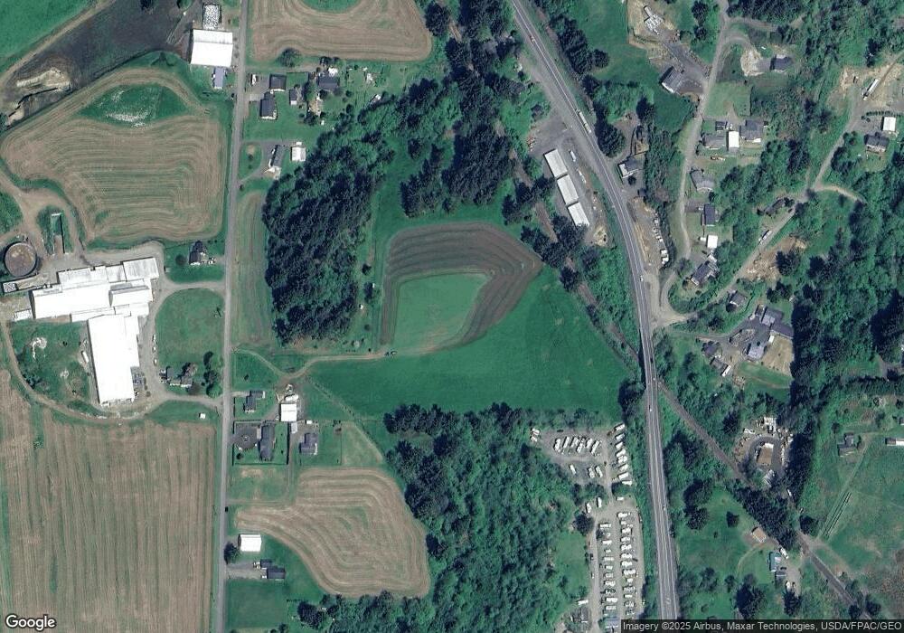
Map
Nearby Homes
- 0 Ellen Ave
- 0 Makinster Rd Unit 1902 24205450
- 0 Tl2402 Alderbrook Rd
- 0 Tl2400 Alderbrook Rd
- 1902 Makinster Rd
- TL#2400 Alderbrook Rd
- TL#2402 Alderbrook Rd
- 4000 Idaville Rd
- 6550 Curl Rd
- 7925 Doughty Rd
- 7965 19th St
- 6835 Spruce St
- 3355 Hubert Rd
- 6825 Williams Ave
- 0 Willowbrook Dr Unit 2900 22130754
- 7980 16th St
- 0 Clam St Unit 1 20493473
- 0 Clam St Unit 4 20207605
- 0 Clam St Unit 2 20453521
- 0 Clam St Unit 14 20110733
- 4445 Boquist Rd N
- 4550 Boquist Rd N
- 4375 Boquist Rd N
- 4385 Boquist Rd N
- 4385 Boquist Rd N
- 4700 Boquist Rd N
- 4305 Boquist Rd N
- 4775 Boquist Rd N
- 1590 Suppress Rd N
- 1670 Suppress Rd N
- 4855 Boquist Rd N
- 4175 Boquist Rd N
- 4895 Boquist Rd N
- 4720 N Highway 101
- 4140 Boquist Rd N
- 4720 Hwy 101 N
- 4760 Highway 101 N
- 4780 Highway 101 N
- 4800 Highway 101 N
- 4820 U S 101