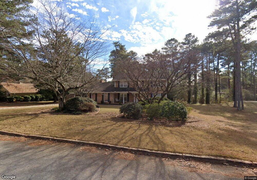
4505 Rowland Ct Stone Mountain, GA 30083
Stone Mountain NeighborhoodEstimated Value: $292,000 - $382,000
4
Beds
3
Baths
2,428
Sq Ft
$134/Sq Ft
Est. Value
About This Home
This home is located at 4505 Rowland Ct, Stone Mountain, GA 30083 and is currently estimated at $324,525, approximately $133 per square foot. 4505 Rowland Ct is a home located in DeKalb County with nearby schools including Allgood Elementary School, Freedom Middle School, and Clarkston High School.
Ownership History
Date
Name
Owned For
Owner Type
Purchase Details
Closed on
Dec 22, 1994
Sold by
Dao Chinh V Luong Hanh
Bought by
Sobayo Rebecca
Current Estimated Value
Home Financials for this Owner
Home Financials are based on the most recent Mortgage that was taken out on this home.
Original Mortgage
$101,600
Interest Rate
9.17%
Purchase Details
Closed on
Jun 2, 1993
Sold by
Houang Tia Than
Bought by
Nong Quyen Tu
Home Financials for this Owner
Home Financials are based on the most recent Mortgage that was taken out on this home.
Original Mortgage
$93,750
Interest Rate
7.45%
Create a Home Valuation Report for This Property
The Home Valuation Report is an in-depth analysis detailing your home's value as well as a comparison with similar homes in the area
Home Values in the Area
Average Home Value in this Area
Purchase History
| Date | Buyer | Sale Price | Title Company |
|---|---|---|---|
| Sobayo Rebecca | $127,000 | -- | |
| Nong Quyen Tu | $65,000 | -- |
Source: Public Records
Mortgage History
| Date | Status | Borrower | Loan Amount |
|---|---|---|---|
| Closed | Sobayo Rebecca | $101,600 | |
| Previous Owner | Nong Quyen Tu | $93,750 |
Source: Public Records
Tax History Compared to Growth
Tax History
| Year | Tax Paid | Tax Assessment Tax Assessment Total Assessment is a certain percentage of the fair market value that is determined by local assessors to be the total taxable value of land and additions on the property. | Land | Improvement |
|---|---|---|---|---|
| 2024 | $575 | $111,080 | $16,000 | $95,080 |
| 2023 | $575 | $109,240 | $16,000 | $93,240 |
| 2022 | $2,457 | $98,560 | $5,720 | $92,840 |
| 2021 | $1,915 | $75,080 | $5,720 | $69,360 |
| 2020 | $1,674 | $64,440 | $5,720 | $58,720 |
| 2019 | $1,899 | $74,360 | $5,720 | $68,640 |
| 2018 | $1,426 | $68,480 | $5,720 | $62,760 |
| 2017 | $1,534 | $57,720 | $5,720 | $52,000 |
| 2016 | $1,337 | $49,680 | $5,720 | $43,960 |
| 2014 | $648 | $19,920 | $5,680 | $14,240 |
Source: Public Records
Map
Nearby Homes
- 4570 Craghill Cir
- 708 Delanie Way
- 573 Allgood Rd
- 4595 Garden Hills Dr
- 4616 Garden Hills Dr Unit 1
- 486 Prince of Wales
- 488 Barclay Ct
- 4592 Ruby Rd
- 539 Prince of Wales
- 4634 Garden Hills Dr
- 457 Prince of Wales
- 597 Woodcrest Manor Dr
- 436 Prince of Wales
- 419 Prince of Wales
- 4651 Garden Hills Dr
- 4603 Ruby Rd
- 4657 Garden Hills Dr
- 4610 Rockbridge Rd
- 4489 Rowland Ct
- 4517 Rowland Ct
- 595 Rowland Rd
- 4496 Heavitree Ct
- 605 Rowland Rd
- 4506 Rowland Ct
- 4488 Heavitree Ct
- 4498 Rowland Ct
- 4518 Rowland Ct
- 4481 Rowland Ct
- 4490 Rowland Ct
- 4480 Heavitree Ct Unit 875
- 4480 Heavitree Ct
- 0 Rowland Ct Unit 8246172
- 0 Rowland Ct Unit 7208274
- 563 Rowland Rd
- 586 Rowland Rd
- 4482 Rowland Ct
- 570 Rowland Rd
- 4472 Heavitree Ct Unit 10