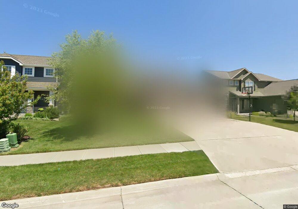
4506 Brook Cir Papillion, NE 68133
Estimated Value: $446,215 - $489,000
4
Beds
3
Baths
2,591
Sq Ft
$181/Sq Ft
Est. Value
About This Home
This home is located at 4506 Brook Cir, Papillion, NE 68133 and is currently estimated at $468,304, approximately $180 per square foot. 4506 Brook Cir is a home with nearby schools including Anderson Grove Elementary School, Papillion Middle School, and Papillion La Vista South High School.
Ownership History
Date
Name
Owned For
Owner Type
Purchase Details
Closed on
Jan 29, 2016
Sold by
Charleston Homes Llc
Bought by
Brott Andrew W and Brott Cassy L
Current Estimated Value
Home Financials for this Owner
Home Financials are based on the most recent Mortgage that was taken out on this home.
Original Mortgage
$259,244
Outstanding Balance
$206,933
Interest Rate
3.99%
Estimated Equity
$261,371
Create a Home Valuation Report for This Property
The Home Valuation Report is an in-depth analysis detailing your home's value as well as a comparison with similar homes in the area
Home Values in the Area
Average Home Value in this Area
Purchase History
| Date | Buyer | Sale Price | Title Company |
|---|---|---|---|
| Brott Andrew W | $305,000 | First American Title Insura |
Source: Public Records
Mortgage History
| Date | Status | Borrower | Loan Amount |
|---|---|---|---|
| Open | Brott Andrew W | $259,244 |
Source: Public Records
Tax History Compared to Growth
Tax History
| Year | Tax Paid | Tax Assessment Tax Assessment Total Assessment is a certain percentage of the fair market value that is determined by local assessors to be the total taxable value of land and additions on the property. | Land | Improvement |
|---|---|---|---|---|
| 2025 | $6,840 | $388,754 | $63,000 | $325,754 |
| 2024 | $7,800 | $376,685 | $59,000 | $317,685 |
| 2023 | $7,800 | $353,805 | $52,000 | $301,805 |
| 2022 | $7,929 | $322,161 | $49,000 | $273,161 |
| 2021 | $7,942 | $315,666 | $49,000 | $266,666 |
| 2020 | $7,993 | $316,691 | $49,000 | $267,691 |
| 2019 | $8,055 | $309,448 | $46,000 | $263,448 |
| 2018 | $7,892 | $298,828 | $46,000 | $252,828 |
| 2017 | $8,158 | $300,354 | $46,000 | $254,354 |
| 2016 | $4,998 | $183,744 | $45,000 | $138,744 |
| 2015 | $249 | $9,160 | $9,160 | $0 |
Source: Public Records
Map
Nearby Homes
- 11308 S 47th St
- 11406 S 43rd St
- 4320 Longview St
- 4217 Longview St
- 4917 Shannon Dr
- 4918 Fountain Dr
- 4305 Barksdale Dr
- 5008 Westlake Cir
- 4407 Amos Gates Dr
- 5004 Westlake Cir
- 5114 Timberridge Dr
- 4614 Windcrest Dr
- 4714 Coffey St
- 4724 Coffey St
- 10700 Old 36th St Unit 10706
- 11727 Quail Dr
- 11809 Quail Dr
- 11903 S 49th St
- 5903 Longview St
- 4510 Barksdale Dr
- 4502 Brook Cir
- 4510 Brook Cir
- 4514 Brook Cir
- 4474 Brook Dr
- 4503 Brook Cir
- 4507 Brook Cir
- 4511 Brook Cir
- 4515 Brook Cir
- 4466 Brook Dr
- 4469 Brook Dr
- 4465 Brook Dr
- 4605 Brook Cir
- 4462 Brook Dr
- 4504 Victoria Ave
- 4502 Victoria Ave
- 4458 Brook Dr
- 4506 Victoria Ave
- 4506 Victoria Ave
- 4457 Brook Dr
- 4418 Victoria Ave