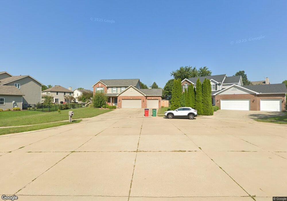
4506 Graves Ct Champaign, IL 61822
Estimated Value: $461,000 - $488,000
Studio
--
Bath
--
Sq Ft
0.35
Acres Lot
About This Home
This home is located at 4506 Graves Ct, Champaign, IL 61822 and is currently estimated at $480,064. 4506 Graves Ct is a home located in Champaign County with nearby schools including Centennial High School, Countryside School, and Swann Special Care Center-Elem/Secondary School.
Ownership History
Date
Name
Owned For
Owner Type
Purchase Details
Closed on
Jul 1, 2013
Sold by
Johnson Sherman R and Johnson Tamara S
Bought by
Vura Weis Joshua A and Hurton Weis Annette R
Current Estimated Value
Home Financials for this Owner
Home Financials are based on the most recent Mortgage that was taken out on this home.
Original Mortgage
$249,520
Outstanding Balance
$176,575
Interest Rate
3.83%
Mortgage Type
New Conventional
Estimated Equity
$303,489
Create a Home Valuation Report for This Property
The Home Valuation Report is an in-depth analysis detailing your home's value as well as a comparison with similar homes in the area
Purchase History
We collect this data history from publicly available records. To have your information removed, we recommend requesting removal directly through your county’s website.
| Date | Buyer | Sale Price | Title Company |
|---|---|---|---|
| Vura Weis Joshua A | $312,000 | Lakeshore Title Agency |
Source: Public Records
Mortgage History
We collect this data history from publicly available records. To have your information removed, we recommend requesting removal directly through your county’s website.
| Date | Status | Borrower | Loan Amount |
|---|---|---|---|
| Open | Vura Weis Joshua A | $249,520 |
Source: Public Records
Tax History
| Year | Tax Paid | Tax Assessment Tax Assessment Total Assessment is a certain percentage of the fair market value that is determined by local assessors to be the total taxable value of land and additions on the property. | Land | Improvement |
|---|---|---|---|---|
| 2025 | $10,971 | $144,680 | $28,830 | $115,850 |
| 2024 | $10,278 | $128,490 | $25,600 | $102,890 |
| 2023 | $10,278 | $118,640 | $23,640 | $95,000 |
| 2022 | $9,760 | $110,670 | $22,050 | $88,620 |
| 2021 | $9,526 | $108,710 | $21,660 | $87,050 |
| 2020 | $9,437 | $107,640 | $21,450 | $86,190 |
| 2019 | $9,154 | $105,840 | $21,090 | $84,750 |
| 2018 | $9,140 | $105,840 | $21,090 | $84,750 |
| 2017 | $9,150 | $105,840 | $21,090 | $84,750 |
| 2016 | $8,283 | $104,610 | $21,090 | $83,520 |
| 2015 | $8,381 | $104,610 | $21,090 | $83,520 |
| 2014 | $8,007 | $99,730 | $21,090 | $78,640 |
| 2013 | $7,937 | $99,730 | $21,090 | $78,640 |
Source: Public Records
Map
Nearby Homes
- 2208 Mullikin Dr
- 4401 Ironwood Ln
- 4705 Stonebridge Dr
- 4309 Stonebridge Ct
- 2010 Strand Dr
- 2109 Emerald Dr
- 4406 Crossgate Dr
- 2315 Milan Ct Unit 2315M
- 4402 Crossgate Dr
- 4413 Southford Trace Dr
- 4309 Crossgate Dr
- 1818 Benodot St
- 1821 Benodot St
- 1809 Mullikin Dr
- 2032 Bentbrook Dr
- 4412 Brittany Trail Dr
- 4111 Farhills Dr
- 1805 Mullikin Dr
- 4106 Farhills Dr
- 1808 Vale St
- 2206 Mullikin Dr
- 4512 Graves Ct
- 4508 Graves Ct
- 2204 Mullikin Dr
- 2205 Mullikin Dr
- 4602 Remington Way
- 4505 Stonebridge Dr
- 4503 Stonebridge Dr
- 4507 Stonebridge Dr
- 2203 Mullikin Dr
- 4509 Stonebridge Dr
- 2214 Mullikin Dr
- 4501 Stonebridge Dr
- 4511 Graves Ct
- 4509 Graves Ct
- 4604 Remington Way
- 4507 Graves Ct
- 2213 Mullikin Dr
- 4505 Graves Ct
- 4601 Stonebridge Dr
Your Personal Tour Guide
Ask me questions while you tour the home.