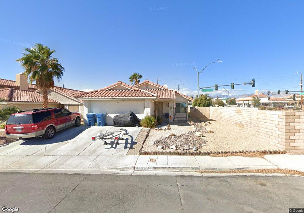
4507 Allenford Dr Las Vegas, NV 89147
Estimated Value: $375,000 - $392,000
3
Beds
2
Baths
1,212
Sq Ft
$316/Sq Ft
Est. Value
About This Home
This home is located at 4507 Allenford Dr, Las Vegas, NV 89147 and is currently estimated at $383,486, approximately $316 per square foot. 4507 Allenford Dr is a home located in Clark County with nearby schools including Frank Kim Elementary School, Clifford J Lawrence Junior High School, and Durango High School.
Ownership History
Date
Name
Owned For
Owner Type
Purchase Details
Closed on
Oct 29, 2007
Sold by
Burlage Charles F
Bought by
Skibicki Michael M
Current Estimated Value
Home Financials for this Owner
Home Financials are based on the most recent Mortgage that was taken out on this home.
Original Mortgage
$207,000
Outstanding Balance
$169,236
Interest Rate
6.29%
Mortgage Type
Unknown
Estimated Equity
$214,250
Purchase Details
Closed on
Jun 5, 2007
Sold by
Burlage Charles F
Bought by
Burlage Charles F and Charles Burlage Trust
Purchase Details
Closed on
Aug 19, 1999
Sold by
Gondy Rao T and Gondy Anita
Bought by
Burlage Charles F
Home Financials for this Owner
Home Financials are based on the most recent Mortgage that was taken out on this home.
Original Mortgage
$99,750
Interest Rate
7.56%
Create a Home Valuation Report for This Property
The Home Valuation Report is an in-depth analysis detailing your home's value as well as a comparison with similar homes in the area
Home Values in the Area
Average Home Value in this Area
Purchase History
| Date | Buyer | Sale Price | Title Company |
|---|---|---|---|
| Skibicki Michael M | $207,000 | First Amer Title Co Of Nv | |
| Burlage Charles F | -- | None Available | |
| Burlage Charles F | $105,000 | Nevada Title Company |
Source: Public Records
Mortgage History
| Date | Status | Borrower | Loan Amount |
|---|---|---|---|
| Open | Skibicki Michael M | $207,000 | |
| Previous Owner | Burlage Charles F | $99,750 |
Source: Public Records
Tax History Compared to Growth
Tax History
| Year | Tax Paid | Tax Assessment Tax Assessment Total Assessment is a certain percentage of the fair market value that is determined by local assessors to be the total taxable value of land and additions on the property. | Land | Improvement |
|---|---|---|---|---|
| 2025 | $1,545 | $69,841 | $30,800 | $39,041 |
| 2024 | $1,500 | $69,841 | $30,800 | $39,041 |
| 2023 | $1,500 | $65,845 | $28,350 | $37,495 |
| 2022 | $1,597 | $58,656 | $24,150 | $34,506 |
| 2021 | $1,479 | $54,725 | $21,700 | $33,025 |
| 2020 | $1,370 | $53,290 | $20,300 | $32,990 |
| 2019 | $1,284 | $50,869 | $18,200 | $32,669 |
| 2018 | $1,225 | $46,718 | $15,050 | $31,668 |
| 2017 | $1,367 | $46,610 | $14,350 | $32,260 |
| 2016 | $1,148 | $44,177 | $11,550 | $32,627 |
| 2015 | $1,145 | $40,767 | $8,400 | $32,367 |
| 2014 | $1,109 | $36,693 | $7,700 | $28,993 |
Source: Public Records
Map
Nearby Homes
- 7822 Whitlocks Mill Ave
- 4595 Grindle Point St
- 4580 Allenford Dr
- 7869 Barntucket Ave
- 7777 Barbican Ct
- 7932 Barntucket Ave
- 7924 Bridgefield Ln
- 4484 Warbonnet Way
- 4658 Cosley Dr
- 7547 Kalmalii Ave
- 4725 Cosley Dr
- 4308 Apex Dr
- 7971 Lisa Dawn Ave
- 7963 Laurena Ave
- 7729 Rathburn Ave
- 4567 Avery Rock St
- 7742 Selby Ct
- 4404 Elk Point Cir Unit 6
- 4502 New Dupell Way
- 8065 Cimarron Meadows Way
- 4511 Allenford Dr
- 4519 Allenford Dr
- 4495 Anatone Dr
- 4525 Allenford Dr
- 7766 Isley Ave
- 4489 Anatone Dr
- 7758 Isley Ave
- 4496 Anatone Dr
- 4537 Allenford Dr
- 7765 Isley Ave
- 4483 Anatone Dr
- 7750 Isley Ave
- 7750 Isley Ave Unit HOUSE
- 4490 Anatone Dr
- 4508 Grindle Point St
- 4516 Grindle Point St
- 7757 Isley Ave
- 4524 Grindle Point St Unit Lot 19 BRT
- 4524 Grindle Point St
- 4543 Allenford Dr