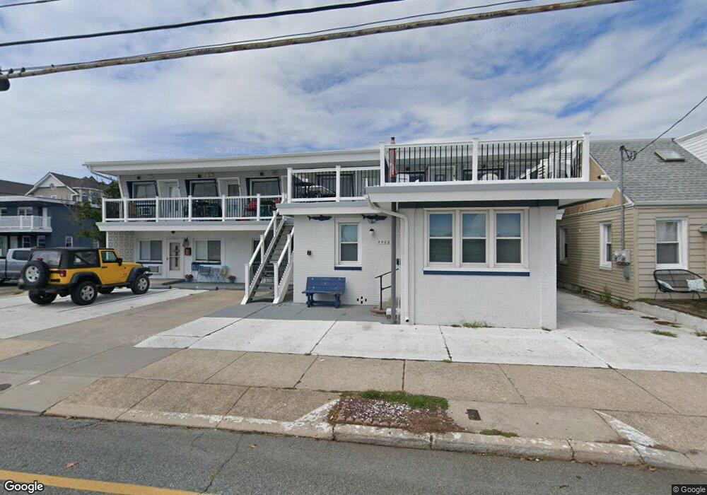
4508 Atlantic Ave Unit 1 Wildwood, NJ 08260
The Wildwoods NeighborhoodEstimated Value: $173,000 - $248,000
--
Bed
--
Bath
370
Sq Ft
$573/Sq Ft
Est. Value
About This Home
This home is located at 4508 Atlantic Ave Unit 1, Wildwood, NJ 08260 and is currently estimated at $212,075, approximately $573 per square foot. 4508 Atlantic Ave Unit 1 is a home located in Cape May County with nearby schools including Glenwood Avenue Elementary School, Wildwood Middle School, and Wildwood High School.
Ownership History
Date
Name
Owned For
Owner Type
Purchase Details
Closed on
May 21, 2010
Sold by
Laury Sea Side Llc
Bought by
Sprinkle James E
Current Estimated Value
Home Financials for this Owner
Home Financials are based on the most recent Mortgage that was taken out on this home.
Original Mortgage
$92,635
Outstanding Balance
$62,332
Interest Rate
5.13%
Mortgage Type
New Conventional
Estimated Equity
$149,743
Create a Home Valuation Report for This Property
The Home Valuation Report is an in-depth analysis detailing your home's value as well as a comparison with similar homes in the area
Home Values in the Area
Average Home Value in this Area
Purchase History
| Date | Buyer | Sale Price | Title Company |
|---|---|---|---|
| Sprinkle James E | $95,500 | Guaranteed Title Agency Llc |
Source: Public Records
Mortgage History
| Date | Status | Borrower | Loan Amount |
|---|---|---|---|
| Open | Sprinkle James E | $92,635 |
Source: Public Records
Tax History Compared to Growth
Tax History
| Year | Tax Paid | Tax Assessment Tax Assessment Total Assessment is a certain percentage of the fair market value that is determined by local assessors to be the total taxable value of land and additions on the property. | Land | Improvement |
|---|---|---|---|---|
| 2025 | $3,176 | $98,400 | $70,000 | $28,400 |
| 2024 | $3,176 | $98,400 | $70,000 | $28,400 |
| 2023 | $3,105 | $98,400 | $70,000 | $28,400 |
| 2022 | $3,006 | $98,400 | $70,000 | $28,400 |
| 2021 | $2,553 | $98,400 | $70,000 | $28,400 |
| 2020 | $2,863 | $98,400 | $70,000 | $28,400 |
| 2019 | $2,766 | $98,400 | $70,000 | $28,400 |
| 2018 | $2,670 | $98,400 | $70,000 | $28,400 |
| 2017 | $2,563 | $98,400 | $70,000 | $28,400 |
| 2016 | $2,444 | $98,400 | $70,000 | $28,400 |
| 2015 | $2,250 | $98,400 | $70,000 | $28,400 |
| 2014 | $2,370 | $98,400 | $70,000 | $28,400 |
Source: Public Records
Map
Nearby Homes
- 222 E Burk Ave Unit 4
- 222 E Burk Ave Unit 3
- 222 E Burk Ave Unit 2
- 222 E Burk Ave Unit 5
- 222 E Burk Ave Unit 1
- 4716 Atlantic Ave Unit 202
- 320 E Baker Ave Unit 19
- 148 E Burk Ave Unit 3
- 148 E Burk Ave Unit 4
- 148 E Burke Unit 3 Ave Unit 3
- 148 E Burk Unit 4 Ave Unit 4
- 213 E Baker Ave Unit 3
- 240 E Taylor Ave Unit 100
- 216 E Roberts Ave Unit 7
- 145 E Andrews Ave Unit 203
- 4205 Pacific Ave Unit 4
- 135 E Baker Ave Unit C
- 135 E Baker Ave Unit 1
- 304 E Rio Grande Ave Unit 3
- 240 E Rio Grande Ave Unit 201
- 4508 Atlantic Ave Unit 7
- 4508 Atlantic Ave Unit 5
- 4508 Atlantic Ave Unit 2
- 4508 Atlantic Ave Unit 9
- 4508 Atlantic Ave Unit 4
- 4508 Atlantic Ave Unit 8
- 4508 Atlantic Ave Unit 6
- 4508 Atlantic Ave Unit 3
- 4508 Atlantic Ave 22 Unit 3
- 253 E Burk Ave
- 4500 Atlantic Ave
- 4504 Atlantic Ave
- 4502 Atlantic Ave
- 247 E Burk Ave Unit 1
- 247 E Burk Ave Unit B
- 247 E Burk Ave Unit 2
- 247 E Burk Ave Unit 1
- 247 E Burk Ave Unit B
- 247 E Burk Ave Unit A
- 247 E Burk Ave