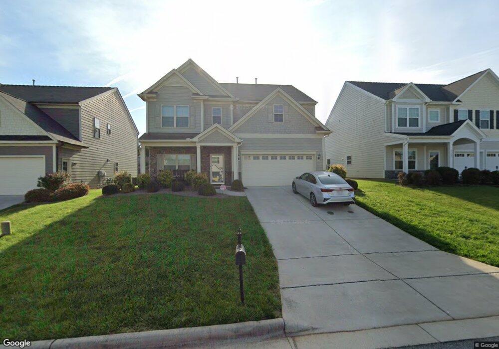
4508 Riverbrook St High Point, NC 27265
Sandy Ridge NeighborhoodEstimated Value: $435,000 - $476,000
4
Beds
4
Baths
2,809
Sq Ft
$161/Sq Ft
Est. Value
About This Home
This home is located at 4508 Riverbrook St, High Point, NC 27265 and is currently estimated at $452,398, approximately $161 per square foot. 4508 Riverbrook St is a home with nearby schools including Southwest Elementary School, Southwest Guilford Middle School, and Southwest Guilford High School.
Ownership History
Date
Name
Owned For
Owner Type
Purchase Details
Closed on
Dec 6, 2013
Sold by
D R Horton Inc
Bought by
Adams Kendra
Current Estimated Value
Home Financials for this Owner
Home Financials are based on the most recent Mortgage that was taken out on this home.
Original Mortgage
$243,375
Outstanding Balance
$182,193
Interest Rate
4.25%
Mortgage Type
Adjustable Rate Mortgage/ARM
Estimated Equity
$270,205
Purchase Details
Closed on
Nov 2, 2006
Bought by
D R Horton Inc
Create a Home Valuation Report for This Property
The Home Valuation Report is an in-depth analysis detailing your home's value as well as a comparison with similar homes in the area
Home Values in the Area
Average Home Value in this Area
Purchase History
| Date | Buyer | Sale Price | Title Company |
|---|---|---|---|
| Adams Kendra | $243,500 | None Available | |
| D R Horton Inc | -- | -- |
Source: Public Records
Mortgage History
| Date | Status | Borrower | Loan Amount |
|---|---|---|---|
| Open | Adams Kendra | $243,375 |
Source: Public Records
Tax History
| Year | Tax Paid | Tax Assessment Tax Assessment Total Assessment is a certain percentage of the fair market value that is determined by local assessors to be the total taxable value of land and additions on the property. | Land | Improvement |
|---|---|---|---|---|
| 2025 | $4,443 | $322,400 | $78,000 | $244,400 |
| 2024 | $4,443 | $322,400 | $78,000 | $244,400 |
| 2023 | $4,443 | $322,400 | $78,000 | $244,400 |
| 2022 | $4,346 | $322,400 | $78,000 | $244,400 |
| 2021 | $3,332 | $241,800 | $52,000 | $189,800 |
| 2020 | $3,332 | $241,800 | $52,000 | $189,800 |
| 2019 | $3,332 | $241,800 | $0 | $0 |
| 2018 | $3,315 | $241,800 | $0 | $0 |
| 2017 | $3,315 | $241,800 | $0 | $0 |
| 2016 | $3,003 | $214,100 | $0 | $0 |
| 2015 | $3,019 | $214,100 | $0 | $0 |
| 2014 | $3,070 | $214,100 | $0 | $0 |
Source: Public Records
Map
Nearby Homes
- 3114 Ironwood Flat Dr
- 2459 Tannin Ct
- 4630 White Beard Rd
- 4358 Ashton Oaks Ct
- 3025 Sycamore Point Trail
- 3273 Alyssa Way
- 3477 Lilliefield Ln
- 4711 Willowstone Dr
- 4713 Willowstone Dr
- 4710 Willowstone Dr
- 4715 Willowstone Dr
- 4712 Willowstone Dr
- 4714 Willowstone Dr
- 4716 Willowstone Dr
- 4723 Willowstone Dr
- 4725 Willowstone Dr
- 4722 Willowstone Dr
- 4304 Hardin Ct
- 2309 Faircloth Way
- 4743 Willowstone Dr
- 4512 River Brook St
- 4500 Riverbrook St
- 4504 Riverbrook St
- 4516 Riverbrook St
- 4509 Willows Ct
- 4505 Riverbrook St
- 4509 Riverbrook St
- 4520 Riverbrook St
- 4513 Willows Ct
- 4505 Willows Ct
- 2381 Birch View Dr
- 4513 Riverbrook St
- 4501 Willows Ct
- 4517 River Brook St
- 4517 Willows Ct
- 2375 Birch View Dr
- 4524 Riverbrook St
- 2444 Birch View Dr
- 2371 Birch View Dr
- 4521 Riverbrook St
Your Personal Tour Guide
Ask me questions while you tour the home.