4508 S Bloomfield Ln Republic, MO 65738
Estimated Value: $414,000 - $476,816
3
Beds
2
Baths
1,877
Sq Ft
$236/Sq Ft
Est. Value
About This Home
This home is located at 4508 S Bloomfield Ln, Republic, MO 65738 and is currently estimated at $443,272, approximately $236 per square foot. 4508 S Bloomfield Ln is a home located in Greene County with nearby schools including Schofield Elementary School, Republic Middle School, and Republic High School.
Ownership History
Date
Name
Owned For
Owner Type
Purchase Details
Closed on
Nov 15, 2020
Sold by
Davy Michael and Davy Cali
Bought by
Davy Robert G and Davy Elizabeth A
Current Estimated Value
Purchase Details
Closed on
Nov 5, 2020
Sold by
Davy Robert G and Davy Elizabeth A
Bought by
Davy Michael T and Bob And Ann Davy Heritage Trus
Purchase Details
Closed on
Dec 16, 2011
Sold by
Scott Donald and Scott Toni
Bought by
Davy Michael and Davy Cali
Create a Home Valuation Report for This Property
The Home Valuation Report is an in-depth analysis detailing your home's value as well as a comparison with similar homes in the area
Home Values in the Area
Average Home Value in this Area
Purchase History
| Date | Buyer | Sale Price | Title Company |
|---|---|---|---|
| Davy Robert G | -- | None Available | |
| Davy Michael T | -- | None Available | |
| Davy Michael | -- | None Available |
Source: Public Records
Tax History Compared to Growth
Tax History
| Year | Tax Paid | Tax Assessment Tax Assessment Total Assessment is a certain percentage of the fair market value that is determined by local assessors to be the total taxable value of land and additions on the property. | Land | Improvement |
|---|---|---|---|---|
| 2025 | $2,956 | $62,740 | $7,790 | $54,950 |
| 2024 | $2,956 | $56,510 | $6,840 | $49,670 |
| 2023 | $2,895 | $56,510 | $6,840 | $49,670 |
| 2022 | $2,516 | $48,940 | $6,840 | $42,100 |
| 2021 | $2,516 | $48,940 | $6,840 | $42,100 |
| 2020 | $2,508 | $47,960 | $6,840 | $41,120 |
| 2019 | $2,497 | $47,960 | $6,840 | $41,120 |
| 2018 | $2,479 | $46,090 | $6,840 | $39,250 |
| 2017 | $2,459 | $43,300 | $6,840 | $36,460 |
| 2016 | $2,330 | $43,300 | $6,840 | $36,460 |
| 2015 | $2,329 | $43,300 | $6,840 | $36,460 |
| 2014 | $2,352 | $43,300 | $6,840 | $36,460 |
Source: Public Records
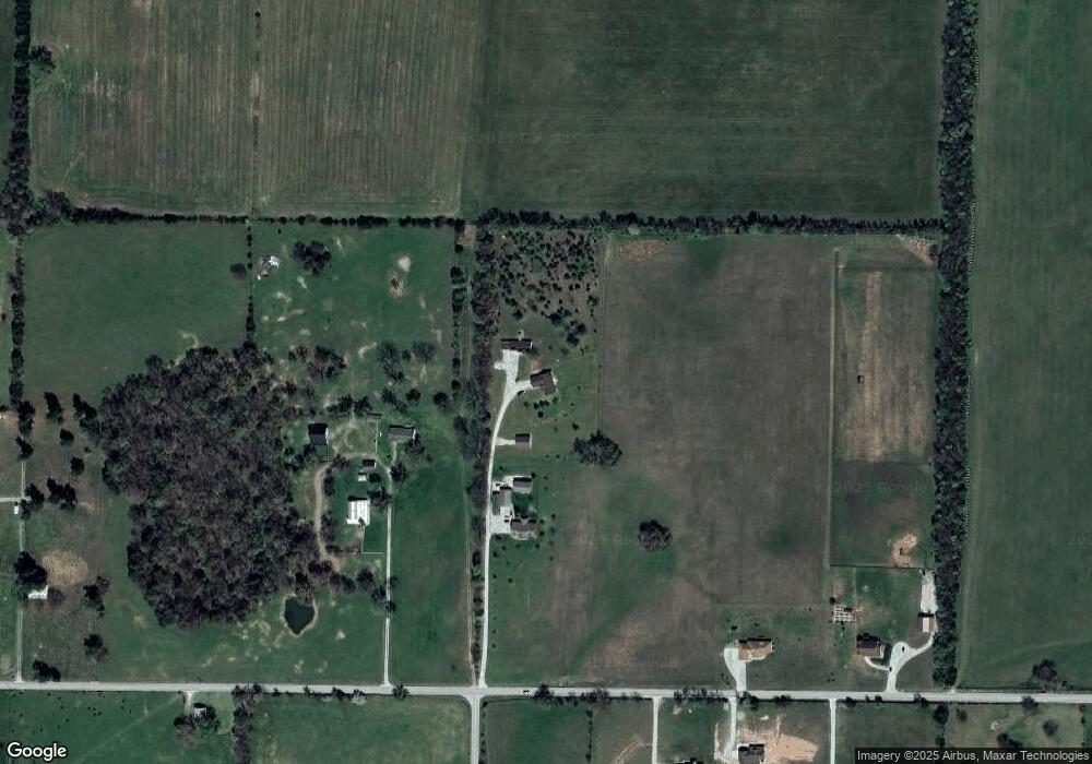
Map
Nearby Homes
- Lot 23 The Woods
- 1021 W Crestview Ln
- 707 N College Ave
- 000 W Crestview Ln
- 626 N Phelps Ave
- 5024 S Farm Road 57
- 1169 N Blackstone Ave
- 1367 N Harper Ridge Dr
- 1135 W Broad St
- 135 N Bonnie Ave
- 532 N College Ave
- 285 E Garnet Dr
- 520 N College Ave
- 188 E Kelce Ln
- Willow Plan at Harper Ridge
- Sycamore 3 Plan at Harper Ridge
- Sycamore 2 Plan at Harper Ridge
- Sycamore 4 Plan at Harper Ridge
- Aspen 3 Plan at Harper Ridge
- 1412 N Carter Way
- 4588 S Bloomfield Ln
- 10431 W Farm Road 174
- 10179 W Farm Road 174
- 10119 W Farm Road 174
- 10202 W Farm Road 174
- 10446 W Farm Road 174
- 1238 S Westwood Dr
- 4752 S Farm Road 67
- 10184 W Farm Road 174
- 10130 W Farm Road 174
- 74 M/L Ac S Farm Road 71
- 7600 Block of West Farm Road 174
- 4357 S Farm Road 71
- 10659 W Farm Road 174
- 10659 W Farm Rd 174
- 4522 S Farm Road 71
- 4460 S Farm Road 71
- 4424 S Farm Road 71
- 0 S Farm Rd 71 Unit 60099296
- 0 S Farm Rd 71 Unit 10902352