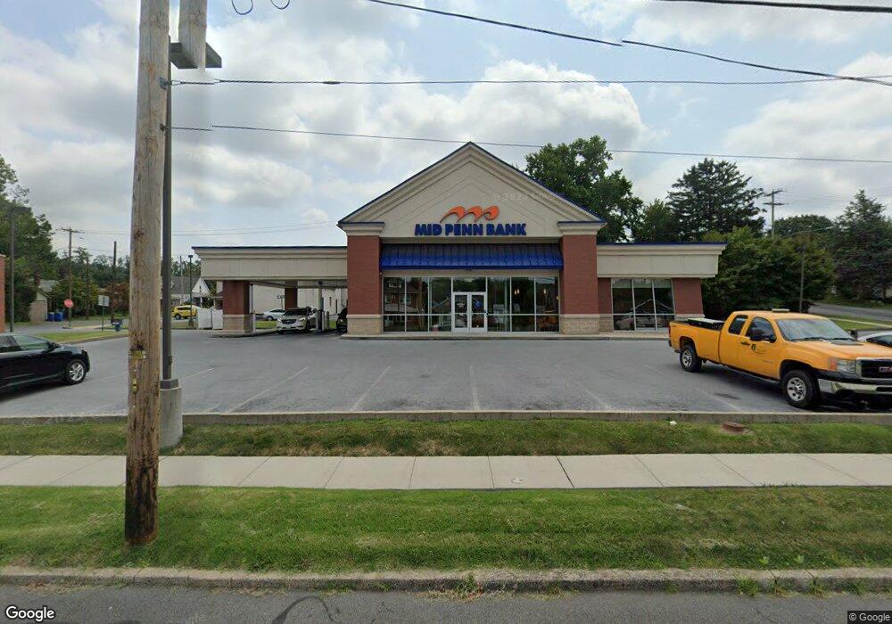
4509 Derry St Harrisburg, PA 17111
Estimated Value: $2,265,894
--
Bed
--
Bath
2,709
Sq Ft
$836/Sq Ft
Est. Value
About This Home
This home is located at 4509 Derry St, Harrisburg, PA 17111 and is currently estimated at $2,265,894, approximately $836 per square foot. 4509 Derry St is a home located in Dauphin County with nearby schools including Lawnton Elementary School, Swatara Middle School, and Central Dauphin East Senior High School.
Ownership History
Date
Name
Owned For
Owner Type
Purchase Details
Closed on
Jul 15, 2020
Sold by
Serluco Michael A
Bought by
A Caring Hand Home Health Care Llc
Current Estimated Value
Home Financials for this Owner
Home Financials are based on the most recent Mortgage that was taken out on this home.
Original Mortgage
$350,000
Outstanding Balance
$310,357
Interest Rate
3.1%
Mortgage Type
Commercial
Estimated Equity
$1,970,783
Purchase Details
Closed on
Jan 16, 2017
Sold by
Mid Penn Bank
Bought by
Serluco Michael A
Create a Home Valuation Report for This Property
The Home Valuation Report is an in-depth analysis detailing your home's value as well as a comparison with similar homes in the area
Home Values in the Area
Average Home Value in this Area
Purchase History
| Date | Buyer | Sale Price | Title Company |
|---|---|---|---|
| A Caring Hand Home Health Care Llc | $1,455,000 | None Available | |
| Serluco Michael A | $1,100,000 | None Available |
Source: Public Records
Mortgage History
| Date | Status | Borrower | Loan Amount |
|---|---|---|---|
| Open | A Caring Hand Home Health Care Llc | $350,000 |
Source: Public Records
Tax History Compared to Growth
Tax History
| Year | Tax Paid | Tax Assessment Tax Assessment Total Assessment is a certain percentage of the fair market value that is determined by local assessors to be the total taxable value of land and additions on the property. | Land | Improvement |
|---|---|---|---|---|
| 2025 | $14,035 | $470,400 | $132,800 | $337,600 |
| 2024 | $13,330 | $470,400 | $132,800 | $337,600 |
| 2023 | $13,330 | $470,400 | $132,800 | $337,600 |
| 2022 | $13,330 | $470,400 | $132,800 | $337,600 |
| 2021 | $13,044 | $470,400 | $132,800 | $337,600 |
| 2020 | $12,908 | $470,400 | $132,800 | $337,600 |
| 2019 | $12,963 | $470,400 | $132,800 | $337,600 |
| 2018 | $12,751 | $470,400 | $132,800 | $337,600 |
| 2017 | $12,329 | $470,400 | $132,800 | $337,600 |
| 2016 | $0 | $470,400 | $132,800 | $337,600 |
| 2015 | -- | $470,400 | $132,800 | $337,600 |
| 2014 | -- | $470,400 | $132,800 | $337,600 |
Source: Public Records
Map
Nearby Homes
- 4610 Derry St
- 11 S 43rd St
- 4818 Derry St
- 4917 Lancaster St
- 364 Hivner Rd
- 3842 Brisban St
- 0 N 50th St
- 69 Delmont Ave
- 3853 Derry St
- 681 Keckler Rd
- 728 Winding Ln
- 5691 Chambers Hill Rd
- 5030 Lilac Ln
- 730 Harvest Dr
- 314 Lincoln Ave
- 191 Chartwood Dr
- 3658 Derry St
- 6100 Hocker Dr
- 1345 Eisenhower Blvd
- 1271 3rd St