451 Anderson Rd Georgetown, KY 40324
Muddy Ford Neighborhood
4
Beds
2
Baths
1,960
Sq Ft
649,044
Sq Ft Lot
About This Home
This home is located at 451 Anderson Rd, Georgetown, KY 40324. 451 Anderson Rd is a home located in Scott County with nearby schools including Northern Elementary School, Scott County Middle School, and Scott County High School.
Create a Home Valuation Report for This Property
The Home Valuation Report is an in-depth analysis detailing your home's value as well as a comparison with similar homes in the area
Home Values in the Area
Average Home Value in this Area
Tax History
| Year | Tax Paid | Tax Assessment Tax Assessment Total Assessment is a certain percentage of the fair market value that is determined by local assessors to be the total taxable value of land and additions on the property. | Land | Improvement |
|---|---|---|---|---|
| 2025 | $1,474 | $165,500 | $0 | $0 |
| 2024 | $1,488 | $165,500 | $0 | $0 |
| 2023 | $1,501 | $165,500 | $75,000 | $90,500 |
| 2022 | $1,407 | $165,500 | $75,000 | $90,500 |
| 2021 | $1,356 | $154,600 | $70,000 | $84,600 |
| 2020 | $1,295 | $150,700 | $70,000 | $80,700 |
| 2019 | $1,315 | $150,700 | $0 | $0 |
| 2018 | $1,234 | $142,255 | $0 | $0 |
| 2017 | $1,141 | $130,800 | $0 | $0 |
| 2016 | $1,053 | $130,800 | $0 | $0 |
| 2015 | $1,047 | $130,800 | $0 | $0 |
| 2014 | $1,000 | $130,810 | $0 | $0 |
| 2011 | $951 | $130,810 | $0 | $0 |
Source: Public Records
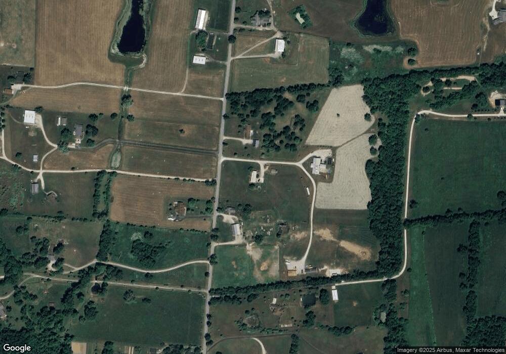
Map
Nearby Homes
- 161 Blackberry Ln
- 173 Blackberry Ln
- 167 Blackberry Ln
- 155 Blackberry Ln
- 165 Blackberry Ln
- 446 Anderson Rd
- 1105 Old Delaplain Rd
- 113 Flamingo Cir
- 117 Chickadee Trail
- 142 Dove Run Cir
- 140 Dove Run Cir
- 127 Chickadee Trail
- 134 Dove Run Cir
- 1090 Gunnell Rd
- 165 Bueno Crossing
- 100 & 102 Dove Run Cir
- 146 Bueno Crossing
- 107 Celica Springs Ct
- 126 Brittany Ln
- 249-281 Cherry Blossom Way
- 429 Anderson Rd
- 459 Anderson Rd
- 453 Anderson Rd
- 428 Anderson Rd
- 455 Anderson Rd
- 381 Anderson Rd
- 519 Anderson Rd
- 506 Anderson Rd
- 452 Anderson Rd
- 359 Anderson Rd
- 358 Anderson Rd
- 361 Anderson Rd
- 542 Anderson Rd
- 354 Anderson Rd
- 551 Anderson Rd
- 400 Anderson Rd
- 349 Anderson Rd
- 434 Anderson Rd
- 350 Anderson Rd
- 555 Anderson Rd
Your Personal Tour Guide
Ask me questions while you tour the home.