451 Barrier Dunes Dr Port Saint Joe, FL 32456
North Cape San Blas NeighborhoodEstimated Value: $422,565 - $516,000
2
Beds
3
Baths
1,404
Sq Ft
$331/Sq Ft
Est. Value
About This Home
This home is located at 451 Barrier Dunes Dr, Port Saint Joe, FL 32456 and is currently estimated at $464,141, approximately $330 per square foot. 451 Barrier Dunes Dr is a home located in Gulf County.
Ownership History
Date
Name
Owned For
Owner Type
Purchase Details
Closed on
Jun 29, 2022
Sold by
Showman Michael J and Showman Ann M
Bought by
Sienkiewicz John J and Sienkievvicz Kalynn R
Current Estimated Value
Purchase Details
Closed on
May 13, 2021
Sold by
Unseld Lee and Unseld Vickie
Bought by
Unseld Vickie
Purchase Details
Closed on
Sep 8, 2000
Sold by
Barrier Dunes Development Corp
Bought by
Unseld Leo and Unseld Vickie
Home Financials for this Owner
Home Financials are based on the most recent Mortgage that was taken out on this home.
Original Mortgage
$127,700
Interest Rate
8.11%
Create a Home Valuation Report for This Property
The Home Valuation Report is an in-depth analysis detailing your home's value as well as a comparison with similar homes in the area
Home Values in the Area
Average Home Value in this Area
Purchase History
| Date | Buyer | Sale Price | Title Company |
|---|---|---|---|
| Sienkiewicz John J | $497,000 | -- | |
| Unseld Vickie | -- | None Available | |
| Unseld Leo | $141,900 | -- |
Source: Public Records
Mortgage History
| Date | Status | Borrower | Loan Amount |
|---|---|---|---|
| Previous Owner | Unseld Leo | $127,700 |
Source: Public Records
Tax History Compared to Growth
Tax History
| Year | Tax Paid | Tax Assessment Tax Assessment Total Assessment is a certain percentage of the fair market value that is determined by local assessors to be the total taxable value of land and additions on the property. | Land | Improvement |
|---|---|---|---|---|
| 2025 | $1,909 | $205,602 | -- | -- |
| 2024 | $1,947 | $198,350 | -- | -- |
| 2023 | $1,986 | $192,573 | $0 | $0 |
| 2022 | $1,993 | $186,964 | $0 | $0 |
| 2021 | $2,029 | $181,518 | $0 | $0 |
| 2020 | $2,050 | $179,012 | $0 | $0 |
| 2019 | $2,243 | $189,396 | $0 | $0 |
| 2018 | $2,240 | $185,865 | $0 | $0 |
| 2017 | $2,197 | $182,042 | $0 | $0 |
| 2016 | $2,232 | $178,298 | $0 | $0 |
| 2015 | $2,123 | $177,059 | $0 | $0 |
| 2014 | $1,979 | $175,654 | $0 | $0 |
Source: Public Records
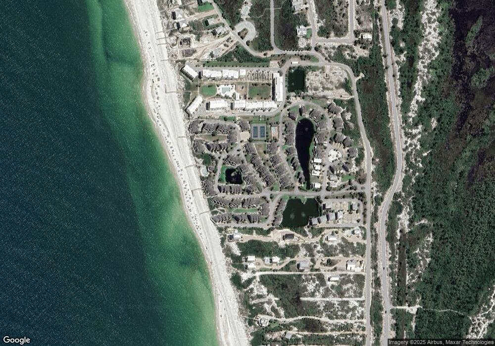
Map
Nearby Homes
- 533 Barrier Dunes Dr
- 424 Barrier Dunes Dr
- 157 Turtle Walk Unit K 66
- 143 Turtle Walk Unit J59
- 151 Turtle Walk
- 253 Parkside Cir
- 129 Turtle Walk Unit I52
- 441 Barrier Dunes Dr
- 281 Parkside Cir
- 246 Parkside Cir Unit 112
- 622 Seacliff Dr Unit 27
- 654 Seacliff Dr Unit 4
- 145 Sandpine Dr
- 161 Parkside Cir
- 166 Swirly Sun Dr
- 113 Parkside Cir
- 113 Parkside Cir Unit lot 4
- 135 Parkside Cir
- 130 Parkview Ct
- 123 Sapodilla Ln
- 453 Barrier Dunes Dr Unit 39
- 453 Barrier Dunes Dr
- 457 Barrier Dunes Dr
- 430 Barrier Dunes Dr Unit 60
- 430 Barrier Dunes Dr
- 539 Barrier Dunes Dr
- 540 Barrier Dunes Dr Unit 56
- 540 Barrier Dunes Dr
- 535 Barrier Dunes Dr Unit 25
- 535 Barrier Dunes Dr
- 542 Barrier Dunes Dr Unit 55
- 542 Barrier Dunes Dr
- 414 Barrier Dunes Dr Unit 68
- 414 Barrier Dunes Dr
- 533 Barrier Dunes Dr Unit 26
- 495 Barrier Dunes Dr Unit 495
- 495 Barrier Dunes Dr Unit 34
- 495 Barrier Dunes Dr
- 544 Barrier Dunes Dr Unit 54
- 544 Barrier Dunes Dr