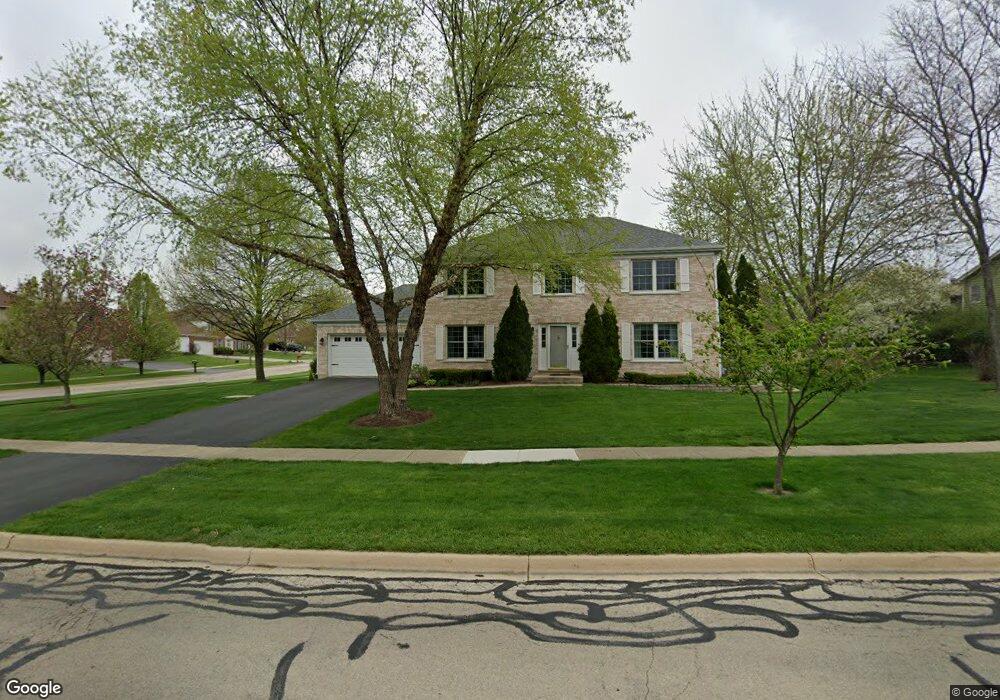
451 Bond Dr Batavia, IL 60510
Southeast Batavia NeighborhoodEstimated Value: $537,813 - $627,000
About This Home
This home is located at 451 Bond Dr, Batavia, IL 60510 and is currently estimated at $594,453, approximately $260 per square foot. 451 Bond Dr is a home located in Kane County with nearby schools including Louise White Elementary School, Sam Rotolo Middle School, and Batavia Sr High School.
Ownership History
We collect this data history from publicly available records. To have your information removed, we recommend requesting removal directly through your county’s website.
Purchase Details
Home Financials for this Owner
Home Financials are based on the most recent Mortgage that was taken out on this home.Purchase Details
Home Financials for this Owner
Home Financials are based on the most recent Mortgage that was taken out on this home.Home Values in the Area
Average Home Value in this Area
Purchase History
We collect this data history from publicly available records. To have your information removed, we recommend requesting removal directly through your county’s website.
| Date | Buyer | Sale Price | Title Company |
|---|---|---|---|
| $251,500 | Fox Title Company | ||
| $59,000 | Chicago Title Insurance Co |
Mortgage History
We collect this data history from publicly available records. To have your information removed, we recommend requesting removal directly through your county’s website.
| Date | Status | Borrower | Loan Amount |
|---|---|---|---|
| Open | $201,200 | ||
| Previous Owner | $135,000 |
Tax History
We collect this data history from publicly available records. To have your information removed, we recommend requesting removal directly through your county’s website.
| Year | Tax Paid | Tax Assessment Tax Assessment Total Assessment is a certain percentage of the fair market value that is determined by local assessors to be the total taxable value of land and additions on the property. | Land | Improvement |
|---|---|---|---|---|
| 2024 | $10,485 | $140,612 | $19,699 | $120,913 |
| 2023 | $10,264 | $127,620 | $17,879 | $109,741 |
| 2022 | $9,003 | $109,107 | $16,709 | $92,398 |
| 2021 | $8,641 | $103,478 | $15,847 | $87,631 |
| 2020 | $8,427 | $101,488 | $15,542 | $85,946 |
| 2019 | $8,287 | $97,895 | $14,992 | $82,903 |
| 2018 | $8,102 | $95,793 | $14,421 | $81,372 |
| 2017 | $7,904 | $92,634 | $13,945 | $78,689 |
| 2016 | $7,734 | $89,936 | $13,539 | $76,397 |
| 2015 | -- | $87,888 | $13,231 | $74,657 |
| 2014 | -- | $85,122 | $12,815 | $72,307 |
| 2013 | -- | $90,227 | $19,331 | $70,896 |
Map
- 493 Bond Dr
- 1650 Fox Trail Dr
- 1692 Sauk Dr
- 601 Ridgelawn Trail
- 526 Ridgelawn Trail
- 1678 Barkei Dr
- 811 Meadow Ln
- 860 S River St
- 1309 Fairfield Way
- Lot 4 Manchester Ave
- 1897 Von Hoff Dr
- 509 Turnberry Dr
- 808 S Van Buren St
- 1304 Clark St
- 1020 Woodland Ave
- 823 Columbia Cir
- 630 Wind Energy Pass
- 34W246 Giese Rd Unit 1
- 864 Wingfoot Dr
- 3S103 S Raddant Rd
Ask me questions while you tour the home.