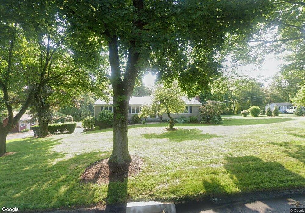
451 Burning Tree Dr Orange, CT 06477
Estimated Value: $521,000 - $685,000
3
Beds
2
Baths
1,608
Sq Ft
$377/Sq Ft
Est. Value
About This Home
This home is located at 451 Burning Tree Dr, Orange, CT 06477 and is currently estimated at $606,070, approximately $376 per square foot. 451 Burning Tree Dr is a home located in New Haven County with nearby schools including Mary L. Tracy School, Peck Place School, and Amity Middle School: Orange.
Ownership History
Date
Name
Owned For
Owner Type
Purchase Details
Closed on
Mar 2, 2011
Sold by
Denitto Joseph M
Bought by
Denitto Cindy M
Current Estimated Value
Purchase Details
Closed on
Sep 10, 2002
Sold by
Levy Richard I and Levy Barbara M
Bought by
Denitto Joseph M and Denitto Cindy M
Home Financials for this Owner
Home Financials are based on the most recent Mortgage that was taken out on this home.
Original Mortgage
$284,750
Interest Rate
6.39%
Create a Home Valuation Report for This Property
The Home Valuation Report is an in-depth analysis detailing your home's value as well as a comparison with similar homes in the area
Home Values in the Area
Average Home Value in this Area
Purchase History
| Date | Buyer | Sale Price | Title Company |
|---|---|---|---|
| Denitto Cindy M | -- | -- | |
| Denitto Cindy M | -- | -- | |
| Denitto Joseph M | $335,000 | -- | |
| Denitto Joseph M | $335,000 | -- |
Source: Public Records
Mortgage History
| Date | Status | Borrower | Loan Amount |
|---|---|---|---|
| Previous Owner | Denitto Joseph M | $267,000 | |
| Previous Owner | Denitto Joseph M | $284,750 |
Source: Public Records
Tax History
| Year | Tax Paid | Tax Assessment Tax Assessment Total Assessment is a certain percentage of the fair market value that is determined by local assessors to be the total taxable value of land and additions on the property. | Land | Improvement |
|---|---|---|---|---|
| 2025 | $8,483 | $291,500 | $203,200 | $88,300 |
| 2024 | $9,037 | $291,500 | $203,200 | $88,300 |
| 2023 | $7,073 | $218,900 | $148,300 | $70,600 |
| 2022 | $7,160 | $218,900 | $148,300 | $70,600 |
| 2021 | $7,278 | $218,900 | $148,300 | $70,600 |
| 2020 | $7,167 | $218,900 | $148,300 | $70,600 |
| 2019 | $7,134 | $218,900 | $148,300 | $70,600 |
| 2018 | $7,005 | $218,900 | $148,300 | $70,600 |
| 2017 | $6,959 | $209,100 | $135,000 | $74,100 |
| 2016 | $7,184 | $223,100 | $135,000 | $88,100 |
| 2015 | $7,005 | $223,100 | $135,000 | $88,100 |
| 2014 | $6,805 | $223,100 | $135,000 | $88,100 |
Source: Public Records
Map
Nearby Homes
- 489 Derby Milford Rd
- 11A Derby-Milford Rd
- 918 Wheelers Farms Rd
- 24 Brierwood Dr
- 89 Green Meadow Rd
- 109 Green Meadow Rd
- 847 Glenbrook Rd
- 420 Narrow Ln
- 74 Victory St
- 500 River Rd Unit 3
- 830 Bayberry Ln
- 20 3rd Ave
- 317 Narrow Ln
- 25 Southwick Ct N
- 249 Coram Rd
- 364 Orange Ave
- 492 North St
- 884 Grassy Hill Rd
- 334 Foxwood Ln Unit 334
- 335 Foxwood Ln Unit 335E
- 445 Burning Tree Dr
- 459 Burning Tree Dr
- 470 Derby Milford Rd
- 476 Derby Milford Rd
- 458 Burning Tree Dr
- 466 Derby Milford Rd
- 482 Derby Milford Rd
- 452 Burning Tree Dr
- 463 Burning Tree Dr
- 601 S Greenbrier Dr
- 464 Burning Tree Dr
- 595 S Greenbrier Dr
- 446 Burning Tree Dr
- 484 Derby Milford Rd
- 591 S Greenbrier Dr
- 475 Derby Milford Rd
- 783 N Greenbrier Dr
- 777 N Greenbrier Dr
- 605 S Greenbrier Dr
- 471 Burning Tree Dr
Your Personal Tour Guide
Ask me questions while you tour the home.