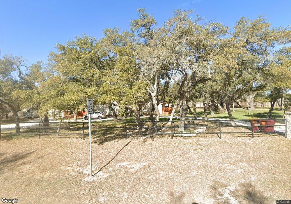
451 Crossroads Dr Dripping Springs, TX 78620
Estimated Value: $673,450 - $724,000
--
Bed
--
Bath
1,973
Sq Ft
$355/Sq Ft
Est. Value
About This Home
This home is located at 451 Crossroads Dr, Dripping Springs, TX 78620 and is currently estimated at $700,483, approximately $355 per square foot. 451 Crossroads Dr is a home located in Hays County with nearby schools including Dripping Springs Middle School and Dripping Springs High School.
Ownership History
Date
Name
Owned For
Owner Type
Purchase Details
Closed on
May 22, 2007
Sold by
Berry Robin Joseph
Bought by
Berry Patricia Marie
Current Estimated Value
Purchase Details
Closed on
Nov 19, 1999
Sold by
Haydon Wiley & Virginia Trust
Bought by
Haskell Kelly R and Haskell Brenda L
Purchase Details
Closed on
Jan 5, 1994
Sold by
Haydon Wiley A and Haydon Virginia F
Bought by
Haskell Kelly R and Haskell Brenda L
Create a Home Valuation Report for This Property
The Home Valuation Report is an in-depth analysis detailing your home's value as well as a comparison with similar homes in the area
Home Values in the Area
Average Home Value in this Area
Purchase History
| Date | Buyer | Sale Price | Title Company |
|---|---|---|---|
| Berry Patricia Marie | -- | None Available | |
| Haskell Kelly R | -- | -- | |
| Haskell Kelly R | -- | -- |
Source: Public Records
Mortgage History
| Date | Status | Borrower | Loan Amount |
|---|---|---|---|
| Closed | Berry Patricia Marie | $0 |
Source: Public Records
Tax History Compared to Growth
Tax History
| Year | Tax Paid | Tax Assessment Tax Assessment Total Assessment is a certain percentage of the fair market value that is determined by local assessors to be the total taxable value of land and additions on the property. | Land | Improvement |
|---|---|---|---|---|
| 2025 | $12,350 | $967,309 | -- | -- |
| 2024 | $12,350 | $879,372 | $388,740 | $370,290 |
| 2023 | $7,070 | $468,193 | $388,740 | $432,630 |
| 2022 | $7,260 | $425,630 | $104,320 | $424,510 |
| 2021 | $7,239 | $386,936 | $104,320 | $383,520 |
| 2020 | $6,226 | $351,760 | $34,770 | $316,990 |
| 2019 | $7,037 | $341,220 | $33,140 | $308,080 |
| 2018 | $6,737 | $324,880 | $33,140 | $291,740 |
| 2017 | $6,633 | $317,450 | $33,140 | $284,310 |
| 2016 | $6,292 | $301,120 | $33,140 | $267,980 |
| 2015 | $5,491 | $287,760 | $33,140 | $254,620 |
Source: Public Records
Map
Nearby Homes
- 151 Crossroads Dr
- 440 Barton Creek Dr
- Lot 91 Barton Creek Dr
- 31887 Mirela Ann Ln
- 31301 Ranch Road 12
- Lot A (Subdivided) Mirela Ann Rd
- Lot D (Subdivided) Mirela Ann Rd
- Lot G (Subdivided) Mirela Ann Rd
- 621 Deer Creek Cir
- 101 Twin Creek Rd
- 200 Ted Burger Rd
- 16413 Fitzhugh Rd
- 0 Westward Look
- 10978 W Cave Blvd
- 17621 Panorama Dr
- 12737 Silver Creek Rd
- 17503 Panorama Dr
- 17517 Panorama Dr
- 255 Patti Ln
- 301 Medlin Creek Loop
- 450 Crossroads Dr
- 400 Crossroads Dr
- 300 Crossroads Dr
- 401 Crossroads Dr
- 612 Sue Peaks Loop
- 501 W Fitzhugh Rd
- 371 Crossroads Dr
- 559 W Fitzhugh Rd
- 250 Crossroads Dr
- 12.505 Acres Fitzhugh Rd
- 12.505 Acres W Fitzhugh Rd
- 12.505 acres W Fitzhugh Rd
- 451 W Fitzhugh Rd
- 251 Crossroads Dr
- 550 Barton Creek Dr
- 600 Barton Creek Dr
- 200 Crossroads Dr
- 110 Crossroads Dr
- 221 Crossroads Dr
- 500 Barton Creek Dr
