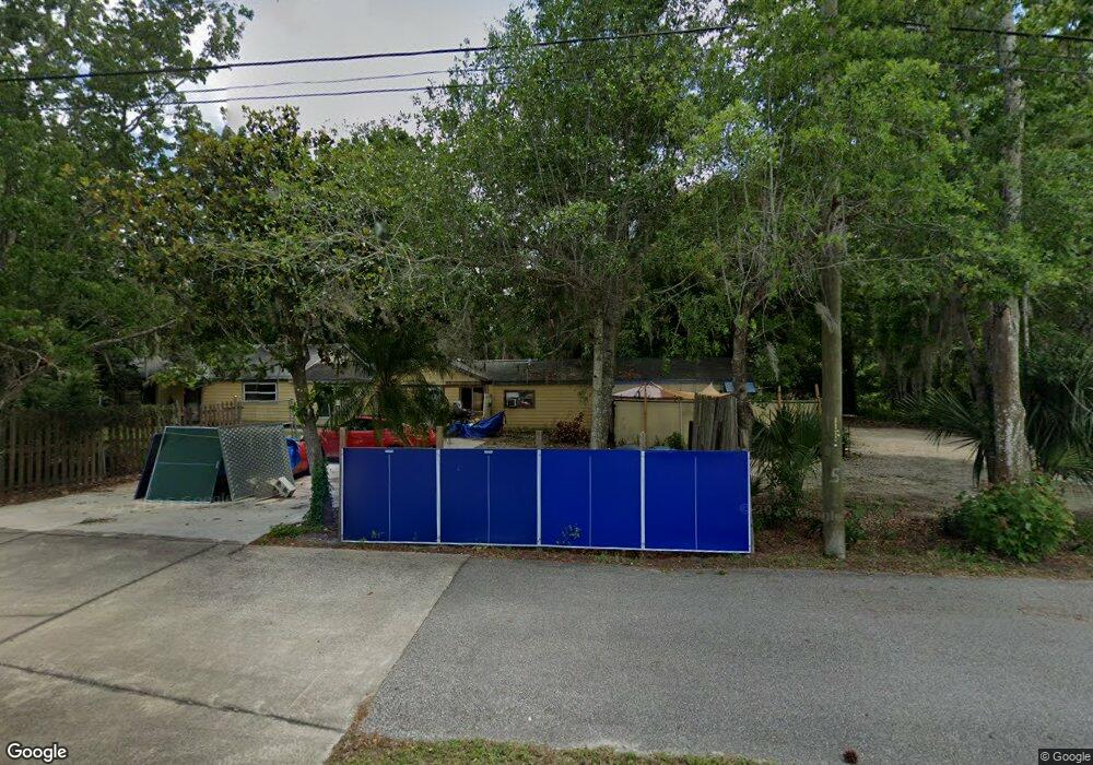
451 Debary Ave Deltona, FL 32725
Estimated Value: $216,000 - $419,000
3
Beds
4
Baths
2,345
Sq Ft
$140/Sq Ft
Est. Value
About This Home
This home is located at 451 Debary Ave, Deltona, FL 32725 and is currently estimated at $328,403, approximately $140 per square foot. 451 Debary Ave is a home located in Volusia County with nearby schools including Enterprise Elementary School, Deltona Middle School, and University High School.
Ownership History
Date
Name
Owned For
Owner Type
Purchase Details
Closed on
Aug 22, 2019
Sold by
Hall Alberta J and Alberta J Hall Revocable Trust
Bought by
Mazer Jeffrey and Greenwalt Rita
Current Estimated Value
Purchase Details
Closed on
Jan 24, 2006
Sold by
Hall Alberta Jeanette
Bought by
Hall Alberta J
Purchase Details
Closed on
Jan 28, 2003
Sold by
Kennedy Ray
Bought by
Hall Alberta J
Purchase Details
Closed on
Nov 15, 1992
Bought by
Hall Alberta J Tr
Create a Home Valuation Report for This Property
The Home Valuation Report is an in-depth analysis detailing your home's value as well as a comparison with similar homes in the area
Home Values in the Area
Average Home Value in this Area
Purchase History
| Date | Buyer | Sale Price | Title Company |
|---|---|---|---|
| Mazer Jeffrey | $104,913 | Pga Title Inc | |
| Hall Alberta J | -- | None Available | |
| Hall Alberta J | $104,000 | -- | |
| Hall Alberta J Tr | $100 | -- |
Source: Public Records
Tax History Compared to Growth
Tax History
| Year | Tax Paid | Tax Assessment Tax Assessment Total Assessment is a certain percentage of the fair market value that is determined by local assessors to be the total taxable value of land and additions on the property. | Land | Improvement |
|---|---|---|---|---|
| 2025 | $2,619 | $221,965 | $97,920 | $124,045 |
| 2024 | $2,619 | $223,986 | $97,920 | $126,066 |
| 2023 | $2,619 | $156,937 | $40,400 | $116,537 |
| 2022 | $2,399 | $135,780 | $37,600 | $98,180 |
| 2021 | $2,190 | $94,193 | $28,800 | $65,393 |
| 2020 | $2,260 | $97,754 | $32,800 | $64,954 |
| 2019 | $2,776 | $126,851 | $30,400 | $96,451 |
| 2018 | $2,603 | $115,946 | $23,760 | $92,186 |
| 2017 | $2,502 | $113,699 | $21,600 | $92,099 |
| 2016 | $2,325 | $114,217 | $0 | $0 |
| 2015 | $2,086 | $88,407 | $0 | $0 |
| 2014 | $1,911 | $79,277 | $0 | $0 |
Source: Public Records
Map
Nearby Homes
- 280 Clark St
- 0 North Rd Unit 24147886
- 0 North Rd Unit MFRO6230394
- 0 North Rd Unit MFRTB8407269
- 0 North Rd Unit MFRG5085253
- 0 North Rd Unit A11840561
- 593 Debary Ave
- 0 Anderson Dr Unit MFRO6356382
- 0 Anderson Dr Unit MFRV4945809
- 453 Elizabeth St
- 265 Enterprise Rd
- 530 Belltower Ave
- 397 Oslo Dr
- 295 Maguire St
- 709 Mountain Ash Way Unit 2
- 295 Garland St
- 827 Debary Ave
- 713 Mountain Ash Way
- 491 Oslo Dr
- 121 Caribbean St Unit 140
- 451 Jacob Brock Ave
- 40 Clark St
- 0 Clark St Unit V4718430
- 00 Clark St
- 0 Clark St Unit V4919997
- 0 Clark St Unit V4918183
- 41 Enterprise St
- 10 Clark St
- 190 Street
- 181 Clark St
- 0 Enterprise Rd Unit V4901556
- 0 Enterprise Rd Unit V4721145
- 220 Clark St
- 211 Clark St
- 0 Millrd Unit O5147348
- 240 Clark St
- 251 Clark St
- 451 Pine St
- 195 Main St
