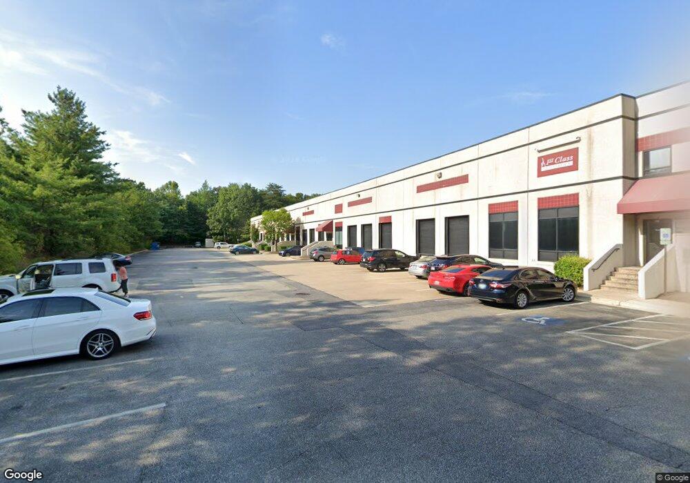
451 Defense Hwy Annapolis, MD 21401
Estimated Value: $10,029,902
--
Bed
--
Bath
43,320
Sq Ft
$232/Sq Ft
Est. Value
About This Home
This home is located at 451 Defense Hwy, Annapolis, MD 21401 and is currently estimated at $10,029,902, approximately $231 per square foot. 451 Defense Hwy is a home located in Anne Arundel County with nearby schools including Rolling Knolls Elementary School, Wiley H. Bates Middle School, and Annapolis High School.
Ownership History
Date
Name
Owned For
Owner Type
Purchase Details
Closed on
Oct 28, 2021
Sold by
451 Defense Highway Llc
Bought by
Defense Granite Llc
Current Estimated Value
Home Financials for this Owner
Home Financials are based on the most recent Mortgage that was taken out on this home.
Original Mortgage
$5,740,000
Outstanding Balance
$5,261,179
Interest Rate
3.01%
Mortgage Type
Purchase Money Mortgage
Estimated Equity
$4,768,723
Purchase Details
Closed on
Mar 21, 2017
Sold by
450 Properties Llc
Bought by
451 Dfeence Hiwway Lc
Purchase Details
Closed on
Jun 12, 1998
Sold by
450 General Ptnshp
Bought by
450 Properties Llc
Purchase Details
Closed on
May 9, 1991
Sold by
Tall Oaks Ltd Ptnshp
Bought by
450 General Ptnshp
Home Financials for this Owner
Home Financials are based on the most recent Mortgage that was taken out on this home.
Original Mortgage
$100,000
Interest Rate
9.47%
Create a Home Valuation Report for This Property
The Home Valuation Report is an in-depth analysis detailing your home's value as well as a comparison with similar homes in the area
Home Values in the Area
Average Home Value in this Area
Purchase History
| Date | Buyer | Sale Price | Title Company |
|---|---|---|---|
| Defense Granite Llc | $8,200,000 | Land Services Usa Inc | |
| 451 Dfeence Hiwway Lc | $5,775,000 | Commonwealth Land Title Insu | |
| 450 Properties Llc | -- | -- | |
| 450 General Ptnshp | $270,000 | -- |
Source: Public Records
Mortgage History
| Date | Status | Borrower | Loan Amount |
|---|---|---|---|
| Open | Defense Granite Llc | $5,740,000 | |
| Previous Owner | 450 General Ptnshp | $100,000 |
Source: Public Records
Tax History Compared to Growth
Tax History
| Year | Tax Paid | Tax Assessment Tax Assessment Total Assessment is a certain percentage of the fair market value that is determined by local assessors to be the total taxable value of land and additions on the property. | Land | Improvement |
|---|---|---|---|---|
| 2025 | $63,408 | $5,539,233 | -- | -- |
| 2024 | $63,408 | $5,514,133 | $0 | $0 |
| 2023 | $48,872 | $4,208,500 | $2,086,000 | $2,122,500 |
| 2022 | $46,510 | $4,185,000 | $0 | $0 |
| 2021 | $92,529 | $4,161,500 | $0 | $0 |
| 2020 | $46,074 | $4,138,000 | $2,164,700 | $1,973,300 |
| 2019 | $45,093 | $4,038,433 | $0 | $0 |
| 2018 | $42,817 | $4,222,567 | $0 | $0 |
| 2017 | $41,078 | $3,839,300 | $0 | $0 |
| 2016 | -- | $3,739,567 | $0 | $0 |
| 2015 | -- | $3,639,833 | $0 | $0 |
| 2014 | -- | $4,040,100 | $0 | $0 |
Source: Public Records
Map
Nearby Homes
- 1909 Eleanor Ct
- 1907 Mackiebeth Ct
- 2713 Coxswain Place
- 1909 Marconi Cir
- 2705 Coxswain Place
- 825 Coxswain Way
- 2664 Compass Dr
- 916 Sextant Way
- 1984 Marconi Cir
- 911 Boom Way
- 803 Coxswain Way Unit 203
- 1007 Boom Ct
- 524 Ridge Rd
- 2737 Yeomans Lantern Ct
- 1012 Mastline Dr
- 934 Chesterfield Rd
- 2175
- 2175 Glencrest Circle - Taft Model
- 2175 Glencrest Cir
- 950 Bermuda Ln
- 441 Defense Hwy
- 1811 Labrott Ln
- 1817 Labrott Ln
- 1815 Labrott Ln
- 1813 Labrott Ln
- 1819 Labrott Ln
- 1807 Labrott Ln
- 1805 Labrott Ln
- 1818 Labrott Ln
- 1806 Whitby Ct
- 1803 Labrott Ln
- 1816 Labrott Ln
- 1814 Labrott Ln
- 1812 Labrott Ln
- 1801 Labrott Ln
- 1802 Whitby Ct
- 108 Yellowtwig Ln
- 109 Yellowtwig Ln
- 1800 Whitby Ct
- 1800 Labrott Ln