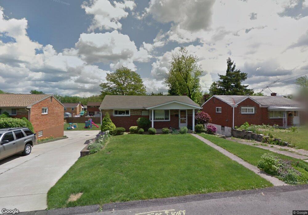
451 Dennison Dr West Mifflin, PA 15122
Estimated Value: $181,000 - $218,000
2
Beds
2
Baths
936
Sq Ft
$205/Sq Ft
Est. Value
About This Home
This home is located at 451 Dennison Dr, West Mifflin, PA 15122 and is currently estimated at $192,194, approximately $205 per square foot. 451 Dennison Dr is a home located in Allegheny County with nearby schools including West Mifflin Area High School, Walnut Grove Christian School, and St Agnes School.
Ownership History
Date
Name
Owned For
Owner Type
Purchase Details
Closed on
Mar 15, 2022
Sold by
Miller Jason R
Bought by
Miller Jason R and Miller Amanda B
Current Estimated Value
Purchase Details
Closed on
Jul 30, 2010
Sold by
Cerasoli Gloria M
Bought by
Miller Jason R
Home Financials for this Owner
Home Financials are based on the most recent Mortgage that was taken out on this home.
Original Mortgage
$89,790
Interest Rate
4.87%
Mortgage Type
FHA
Create a Home Valuation Report for This Property
The Home Valuation Report is an in-depth analysis detailing your home's value as well as a comparison with similar homes in the area
Home Values in the Area
Average Home Value in this Area
Purchase History
| Date | Buyer | Sale Price | Title Company |
|---|---|---|---|
| Miller Jason R | -- | -- | |
| Miller Jason R | $91,000 | -- |
Source: Public Records
Mortgage History
| Date | Status | Borrower | Loan Amount |
|---|---|---|---|
| Previous Owner | Miller Jason R | $89,790 |
Source: Public Records
Tax History Compared to Growth
Tax History
| Year | Tax Paid | Tax Assessment Tax Assessment Total Assessment is a certain percentage of the fair market value that is determined by local assessors to be the total taxable value of land and additions on the property. | Land | Improvement |
|---|---|---|---|---|
| 2025 | $3,495 | $67,600 | $18,100 | $49,500 |
| 2024 | $3,495 | $67,600 | $18,100 | $49,500 |
| 2023 | $3,448 | $67,600 | $18,100 | $49,500 |
| 2022 | $3,346 | $67,600 | $18,100 | $49,500 |
| 2021 | $320 | $67,600 | $18,100 | $49,500 |
| 2020 | $3,220 | $67,600 | $18,100 | $49,500 |
| 2019 | $3,177 | $67,600 | $18,100 | $49,500 |
| 2018 | $320 | $67,600 | $18,100 | $49,500 |
| 2017 | $2,508 | $67,600 | $18,100 | $49,500 |
| 2016 | $320 | $67,600 | $18,100 | $49,500 |
| 2015 | $320 | $67,600 | $18,100 | $49,500 |
| 2014 | $2,486 | $67,600 | $18,100 | $49,500 |
Source: Public Records
Map
Nearby Homes
- 828 Alberta Dr
- 1157 Lebanon School Rd
- 0 Lebanon School Rd
- 444 Spring Valley Rd
- 436 Lisa Dr
- 540 Lisa Dr
- 323 Livingston Rd
- 1016 Dana Dr
- 109 Pennington Dr
- 1746 Gina Dr
- 1717 Gina Dr
- 1004 Kentucky Blue Dr
- 0 Clairton Rd
- 1864 Timothy Dr
- 3326 New England Rd
- 446 Lewis Run Rd
- 453 Coal Valley Rd
- 1613 State Route 885
- 463 Coal Valley Rd
- 337 Coal Valley Rd
- 455 Dennison Dr
- 447 Dennison Dr
- 459 Dennison Dr
- 524 Lebanon Manor Dr
- 443 Dennison Dr
- 518 Lebanon Manor Dr
- 528 Lebanon Manor Dr
- 463 Dennison Dr
- 452 Dennison Dr
- 516 Lebanon Manor Dr
- 532 Lebanon Manor Dr
- 536 Lebanon Manor Dr
- 512 Lebanon Manor Dr
- 467 Dennison Dr
- 448 Dennison Dr
- 456 Dennison Dr
- 444 Dennison Dr
- 460 Dennison Dr
- 540 Lebanon Manor Dr
- 506 Lebanon Manor Dr