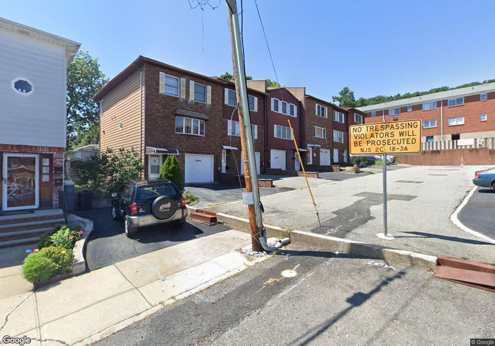
451 Edmund Ave Unit 453 Paterson, NJ 07502
Hillcrest NeighborhoodEstimated Value: $429,726 - $485,000
--
Bed
--
Bath
1,440
Sq Ft
$319/Sq Ft
Est. Value
About This Home
This home is located at 451 Edmund Ave Unit 453, Paterson, NJ 07502 and is currently estimated at $459,182, approximately $318 per square foot. 451 Edmund Ave Unit 453 is a home located in Passaic County with nearby schools including Paterson Public School No.14, Paterson Public School No. 29, and Washington Park Elementary School.
Ownership History
Date
Name
Owned For
Owner Type
Purchase Details
Closed on
Jan 21, 2000
Sold by
Jarkas Mohamed S and Jarkas Barbara A
Bought by
Skelton Nahum M and Skelton Janet F
Current Estimated Value
Home Financials for this Owner
Home Financials are based on the most recent Mortgage that was taken out on this home.
Original Mortgage
$112,000
Outstanding Balance
$36,308
Interest Rate
8.11%
Mortgage Type
Stand Alone First
Estimated Equity
$422,874
Create a Home Valuation Report for This Property
The Home Valuation Report is an in-depth analysis detailing your home's value as well as a comparison with similar homes in the area
Home Values in the Area
Average Home Value in this Area
Purchase History
| Date | Buyer | Sale Price | Title Company |
|---|---|---|---|
| Skelton Nahum M | $140,000 | -- |
Source: Public Records
Mortgage History
| Date | Status | Borrower | Loan Amount |
|---|---|---|---|
| Open | Skelton Nahum M | $112,000 |
Source: Public Records
Tax History Compared to Growth
Tax History
| Year | Tax Paid | Tax Assessment Tax Assessment Total Assessment is a certain percentage of the fair market value that is determined by local assessors to be the total taxable value of land and additions on the property. | Land | Improvement |
|---|---|---|---|---|
| 2025 | $8,341 | $163,700 | $49,600 | $114,100 |
| 2024 | $8,026 | $163,700 | $49,600 | $114,100 |
| 2022 | $7,599 | $163,700 | $49,600 | $114,100 |
| 2021 | $7,327 | $163,700 | $49,600 | $114,100 |
| 2020 | $6,834 | $163,700 | $49,600 | $114,100 |
| 2019 | $6,606 | $159,800 | $48,400 | $111,400 |
| 2018 | $6,589 | $152,300 | $47,900 | $104,400 |
| 2017 | $6,286 | $151,100 | $47,600 | $103,500 |
| 2016 | $6,921 | $159,500 | $50,100 | $109,400 |
| 2015 | $6,552 | $159,500 | $50,100 | $109,400 |
| 2014 | $7,923 | $273,200 | $131,500 | $141,700 |
Source: Public Records
Map
Nearby Homes
- 512 Preakness Ave
- 237 Sherwood Ave Unit 239
- 295-297 Linwood Ave
- 262-280 Chamberlain Ave Unit 4
- 2 Colonial Ave
- 28 Plymouth Rd
- 231 Lenox Ave Unit 233
- 89-91 Chatham Ave
- 91 Chatham Ave
- 271-273 Preakness Ave
- 88 Avenue B
- 41 Stirling Terrace
- 120 Sherwood Ave Unit 102
- 249 Edmund Ave
- 73 Avenue B
- 15 Carrelton Dr
- 207 Burlington Ave
- 203-207 Burlington Ave
- 45 Katz Ave
- 153 Arlington Ave Unit 155
- 455 Edmund Ave
- 453 Edmund Ave Unit 455
- 453 Edmund Ave Unit 12
- 449 Edmund Ave
- 449 Edmund Ave Unit 451
- 447 Edmund Ave
- 320 Rossiter Ave Unit 322
- 454 Edmund Ave Unit 456
- 452 Edmund Ave Unit 454
- 452-454 Edmund Ave Unit 7
- 452 Edmund Ave Unit 7
- 312 Rossiter Ave Unit 318
- 443 Edmund Ave Unit 445
- 450 Edmund Ave Unit 9
- 450 Edmund Ave Unit 452
- 450 Edmund Ave
- 450 Edmund Ave Unit 8
- 324 Rossiter Ave Unit 326
- 448 Edmund Ave
- 324-326 Rossiter Ave