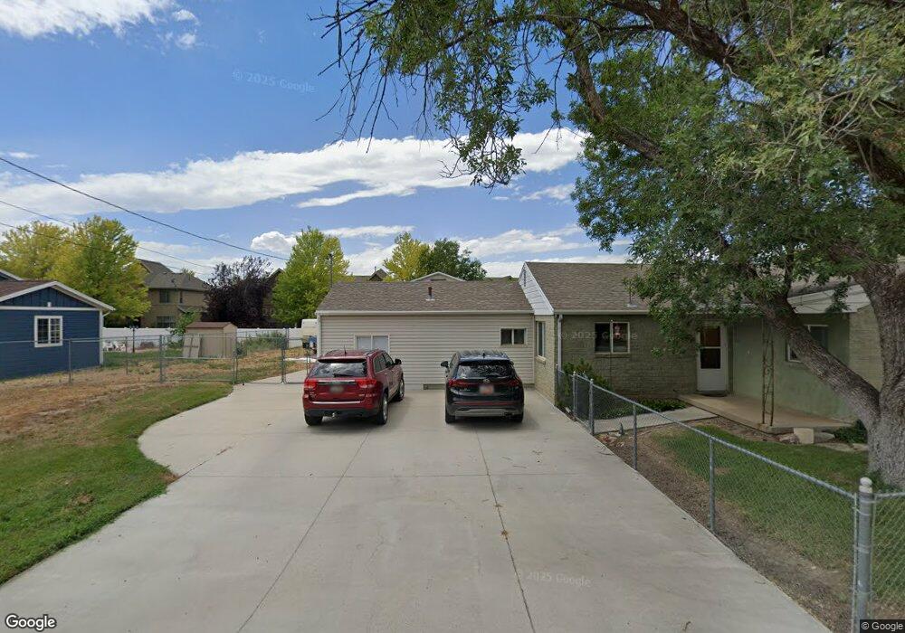
451 Fort Union Blvd Midvale, UT 84047
Estimated Value: $447,000 - $536,000
2
Beds
2
Baths
1,377
Sq Ft
$365/Sq Ft
Est. Value
About This Home
This home is located at 451 Fort Union Blvd, Midvale, UT 84047 and is currently estimated at $501,963, approximately $364 per square foot. 451 Fort Union Blvd is a home located in Salt Lake County with nearby schools including East Midvale Elementary School, Hillcrest High School, and Midvale Middle School.
Ownership History
Date
Name
Owned For
Owner Type
Purchase Details
Closed on
Jul 26, 2005
Sold by
Smith David R and Smith Jennifer
Bought by
72Nd Street Town Homes Owners Assn Inc
Current Estimated Value
Purchase Details
Closed on
Sep 28, 1995
Sold by
Miles Michael R and Miles Jill M
Bought by
Smith David R and Smith Jennifer
Home Financials for this Owner
Home Financials are based on the most recent Mortgage that was taken out on this home.
Original Mortgage
$82,500
Interest Rate
7.97%
Create a Home Valuation Report for This Property
The Home Valuation Report is an in-depth analysis detailing your home's value as well as a comparison with similar homes in the area
Home Values in the Area
Average Home Value in this Area
Purchase History
| Date | Buyer | Sale Price | Title Company |
|---|---|---|---|
| 72Nd Street Town Homes Owners Assn Inc | -- | Sutherland Title | |
| Smith David R | -- | -- |
Source: Public Records
Mortgage History
| Date | Status | Borrower | Loan Amount |
|---|---|---|---|
| Previous Owner | Smith David R | $82,500 |
Source: Public Records
Tax History
| Year | Tax Paid | Tax Assessment Tax Assessment Total Assessment is a certain percentage of the fair market value that is determined by local assessors to be the total taxable value of land and additions on the property. | Land | Improvement |
|---|---|---|---|---|
| 2025 | $2,118 | $381,200 | $219,800 | $161,400 |
| 2024 | $2,118 | $347,700 | $207,400 | $140,300 |
| 2023 | $1,891 | $307,700 | $197,200 | $110,500 |
| 2022 | $2,039 | $324,100 | $164,300 | $159,800 |
| 2021 | $1,801 | $244,700 | $151,700 | $93,000 |
| 2020 | $1,708 | $219,600 | $124,600 | $95,000 |
| 2019 | $1,677 | $210,100 | $117,600 | $92,500 |
| 2016 | $1,345 | $158,800 | $117,600 | $41,200 |
Source: Public Records
Map
Nearby Homes
- 7187 S 420 E
- 529 E 7215 S Unit 9
- 7230 S 525 E Unit A
- 7230 S 525 E Unit B
- 7230 S 525 E
- 7240 S 525 E Unit A
- 7240 S 525 E Unit B
- 7045 S 300 E
- 7033 S 300 E
- 7218 S Viansa Ct
- 7097 S 230 E
- 7309 S Union Village Cir
- 7083 Village Place
- 6969 S Free Land Ave
- 6874 S 595 E Unit 66
- 221 E Fort Union Blvd
- 195 E 7060 S
- 6965 S 700 E
- 512 E Larchwood Dr
- 7432 Green Berry Ct
- 453 E Fort Union Blvd
- 453 Fort Union Blvd
- 455 Fort Union Blvd
- 7163 S 420 E
- 7159 S 420 E
- 7167 S 420 E
- 7155 S 420 E
- 7171 S 420 E
- 7147 S 420 E
- 463 E 7200 S
- 7175 S 420 E
- 463 Fort Union Blvd
- 463 E Fort Union Blvd
- 7139 S 420 E
- 7179 S 420 E
- 452 Pepperidge Dr
- 7133 S 420 E
- 457 Fort Union Blvd
- 445 E Fort Union Blvd Unit B
- 445 E Fort Union Blvd Unit A
Your Personal Tour Guide
Ask me questions while you tour the home.