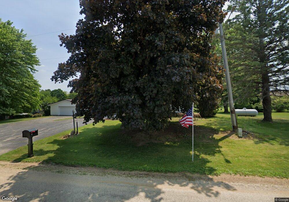
451 Hubbard St Winslow, IL 61089
Estimated Value: $107,000 - $178,000
2
Beds
2
Baths
1,972
Sq Ft
$68/Sq Ft
Est. Value
About This Home
This home is located at 451 Hubbard St, Winslow, IL 61089 and is currently estimated at $133,769, approximately $67 per square foot. 451 Hubbard St is a home located in Stephenson County with nearby schools including Lena-Winslow Elementary School, Lena-Winslow Junior High School, and Lena-Winslow High School.
Create a Home Valuation Report for This Property
The Home Valuation Report is an in-depth analysis detailing your home's value as well as a comparison with similar homes in the area
Home Values in the Area
Average Home Value in this Area
Tax History Compared to Growth
Tax History
| Year | Tax Paid | Tax Assessment Tax Assessment Total Assessment is a certain percentage of the fair market value that is determined by local assessors to be the total taxable value of land and additions on the property. | Land | Improvement |
|---|---|---|---|---|
| 2024 | $1,866 | $23,632 | $2,256 | $21,376 |
| 2023 | $1,782 | $22,950 | $2,191 | $20,759 |
| 2022 | $1,698 | $22,950 | $2,191 | $20,759 |
| 2021 | $1,571 | $20,961 | $2,125 | $18,836 |
| 2020 | $1,542 | $20,961 | $2,125 | $18,836 |
| 2019 | $1,515 | $20,550 | $2,083 | $18,467 |
| 2018 | $401 | $20,000 | $2,027 | $17,973 |
| 2017 | $401 | $31,481 | $4,125 | $27,356 |
| 2016 | $401 | $31,481 | $4,125 | $27,356 |
| 2015 | $2,144 | $31,169 | $4,084 | $27,085 |
| 2013 | $2,360 | $32,922 | $4,156 | $28,766 |
Source: Public Records
Map
Nearby Homes
- 439 Hubbard St
- 437 Hubbard St
- 430 Hubbard St
- 204 Carver St
- 619 Bridge St
- 9864 W Lake Rd
- 12934 N Damascus Rd
- 12150 N Damascus Rd
- TBD Miller Rd
- TBD Tract B2 W Pin Hook Rd
- TBD Tract B1 W Pin Hook Rd
- TBD Tract B W Pin Hook Rd
- 000 County Highway M
- 360 S Church St
- 11307 W Timber Lane Rd
- 113 S Liberty St
- W8192 Pilz Rd
- W8194 Pilz Rd
- N2090 Allen Rd
- 4592 W Mcconnell Rd
